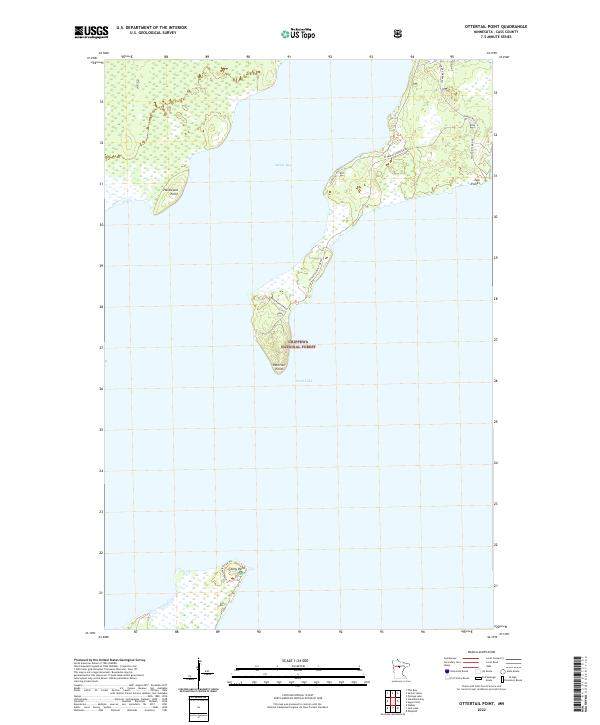
2022 Map of Ottertail Point
USGS Topo · Published 2022About this map
Chippewa National Forest dominates the peninsulas and shorelines of this northern Minnesota landscape, where the waters of Leech Lake meet the northern reaches of Sucker Bay. The map provides a detailed view of the forest management infrastructure, specifically the network of access roads such as Sucker Bay Rd NW and Two Points Rd NW that serve the recreational and timber lands. Notable shoreline features include the prominent Hardwood Point and the narrow, elongated Ottertail Point, which stretches deep into the lake. Along the southern edge of the survey, Stony Point features the Stony Interpretive Trl, suggesting an area dedicated to public education and conservation within the national forest system during this era of 21st-century land management.
Find a feature on this map
19 named features on this map. Tap any name to fly to it.
Don’t see what you’re looking for? This feature index may not catch every label — zoom into the map to look around manually.
Map Details
Editions of this 2022 Ottertail Point Map
This is the sole edition of this map. No revisions or reprints were ever made.
Other maps of this area

1954 · Bemidji
USGS Topo · 1:250,000

1957 · Bemidji
USGS Topo · 1:250,000

1958 · Bemidji
USGS Topo · 1:250,000
1971 · Jack Lake
USGS Topo · 1:24,000
1971 · Whipholt
USGS Topo · 1:24,000

1971 · Sucker Lakes
USGS Topo · 1:24,000

1971 · Portage Lake
USGS Topo · 1:24,000
1971 · Ottertail Point
USGS Topo · 1:24,000
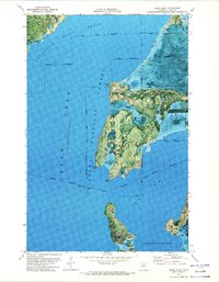
1971 · Sugar Point
USGS Topo · 1:24,000

1972 · Steamboat Bay
USGS Topo · 1:24,000