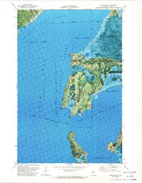
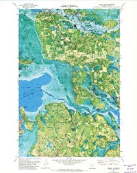
1971 Map of Sugar Point
USGS Topo · Published 1974About this map
Leech Lake dominates this 1970s orthophotomap, showing the intricate shoreline and peninsula where the Leech Lake Indian Reservation meets the protected lands of the Chippewa National Forest. The map captures a unique aerial perspective of the northern Minnesota landscape, where the water levels are recorded at a Normal Reservoir Pool Elevation of 1296 feet.
Find a feature on this map
19 named features on this map. Tap any name to fly to it.
Don’t see what you’re looking for? This feature index may not catch every label — zoom into the map to look around manually.
Map Details
Editions of this 1971 Sugar Point Map
This is the sole edition of this map. No revisions or reprints were ever made.
Other maps of this area

1954 · Bemidji
USGS Topo · 1:250,000

1957 · Bemidji
USGS Topo · 1:250,000

1958 · Bemidji
USGS Topo · 1:250,000
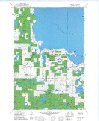
1971 · Jack Lake
USGS Topo · 1:24,000

1971 · Bena
USGS Topo · 1:24,000
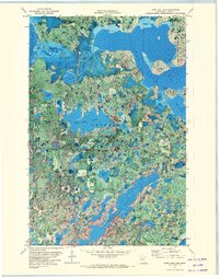
1971 · Town Line Lake
USGS Topo · 1:24,000
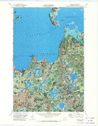
1971 · Whipholt
USGS Topo · 1:24,000

1971 · Sucker Lakes
USGS Topo · 1:24,000
1971 · Federal Dam
USGS Topo · 1:24,000

1971 · Portage Lake
USGS Topo · 1:24,000