
1972 Map of Steamboat Bay
USGS Topo · Published 1974About this map
Leech Lake dominates this orthophotomap, showing the intricate intersection of land and water in Cass County during the early 1970s. This hybrid map combines high-altitude aerial photography with topographic contour lines, providing a clear view of the Leech Lake Indian Reservation Boundary as it skirts around Minnesota Island and across The Narrows. Large tracts of protected timberland, including Welsh Lake State Forest and the Chippewa National Forest, define the shoreline character. Notable waterways like the Steamboat River and the man-made Roosevelt Canal near Shingobee highlight the historic transport and drainage patterns of the region. This edition provides researchers with a rare visual of the vegetation and shoreline before significant modern developments, particularly around Walker Bay and Traders Bay.
Find a feature on this map
33 named features on this map. Tap any name to fly to it.
Don’t see what you’re looking for? This feature index may not catch every label — zoom into the map to look around manually.
Map Details
Editions of this 1972 Steamboat Bay Map
This is the sole edition of this map. No revisions or reprints were ever made.
Other maps of this area

1954 · Bemidji
USGS Topo · 1:250,000

1957 · Bemidji
USGS Topo · 1:250,000

1958 · Bemidji
USGS Topo · 1:250,000
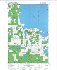
1971 · Jack Lake
USGS Topo · 1:24,000

1971 · Sucker Lakes
USGS Topo · 1:24,000
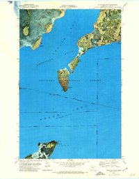
1971 · Ottertail Point
USGS Topo · 1:24,000

1972 · Benedict
USGS Topo · 1:24,000

1972 · Pike Bay
USGS Topo · 1:24,000
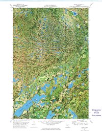
1972 · Akeley
USGS Topo · 1:24,000
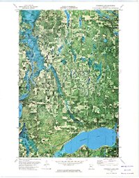
1972 · Steamboat Lake
USGS Topo · 1:24,000