
1972 Map of Benedict
USGS Topo · Published 1974About this map
Chippewa National Forest and the Paul Bunyan State Forest dominate this lakeside landscape in northern Minnesota, where the Leech Lake Indian Reservation Boundary bisects a complex network of waterways. The settlement of Laporte sits on the western edge near Garfield Lake, while the smaller community of Benedict is positioned further east along the Kabekona River. This era shows a region defined by its timber and aviation infrastructure, evidenced by the Walker Municipal Airport and the Merrill Landing Strip located near the shores of Kabekona Bay. Water is the defining characteristic here, from the wide expanse of Leech Lake and Steamboat Bay to smaller features like Horseshoe Lake and Benedict Lake. The presence of a Gravel Pit near the road network suggests local industry supporting the rural infrastructure of the early 1970s.
Find a feature on this map
25 named features on this map. Tap any name to fly to it.
Don’t see what you’re looking for? This feature index may not catch every label — zoom into the map to look around manually.
Map Details
Editions of this 1972 Benedict Map
This is the sole edition of this map. No revisions or reprints were ever made.
Other maps of this area

1954 · Bemidji
USGS Topo · 1:250,000

1957 · Bemidji
USGS Topo · 1:250,000

1958 · Bemidji
USGS Topo · 1:250,000

1968 · Guthrie
USGS Topo · 1:24,000

1972 · Steamboat Bay
USGS Topo · 1:24,000
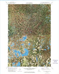
1972 · East Crooked Lake
USGS Topo · 1:24,000

1972 · Laporte
USGS Topo · 1:24,000

1972 · Pike Bay
USGS Topo · 1:24,000
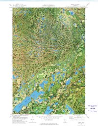
1972 · Akeley
USGS Topo · 1:24,000
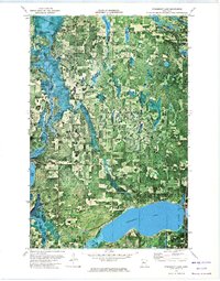
1972 · Steamboat Lake
USGS Topo · 1:24,000