1972 Map of Akeley
USGS Topo · Published 1974About this map
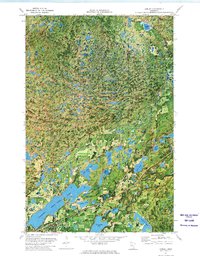
Akeley and the neighboring settlement of Steamboat are centered within a landscape of dense woodlands and glacial kettle lakes in the early 1970s. This orthophotomap combines aerial photography with topographic data to show the intricate shoreline of Eleventh Crow Wing Lake and the recreational development at the Shingobee Ski Area. The heavy timber of the Paul Bunyan State Forest and Chippewa National Forest dominates the terrain, broken only by numerous water bodies like Cedar Lake, Lake Alice, and Ten Lake. Transportation is defined by the Burlington Northern railroad corridor, which cuts through the southern portion of the quadrangle near the Hubbard and Cass County line, reflecting the region's historical reliance on rail for the timber industry.
Find a feature on this map
23 named features on this map. Tap any name to fly to it.
Don’t see what you’re looking for? This feature index may not catch every label — zoom into the map to look around manually.
Map Details
Editions of this 1972 Akeley Map
This is the sole edition of this map. No revisions or reprints were ever made.
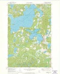
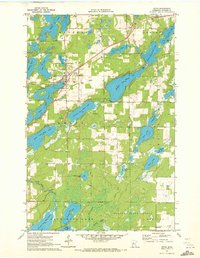
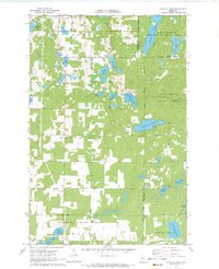
Other maps of this area

1953 · Brainerd
USGS Topo · 1:250,000

1954 · Bemidji
USGS Topo · 1:250,000

1957 · Brainerd
USGS Topo · 1:250,000

1957 · Bemidji
USGS Topo · 1:250,000

1958 · Bemidji
USGS Topo · 1:250,000

1958 · Brainerd
USGS Topo · 1:250,000

1965 · Brainerd
USGS Topo · 1:250,000
1970 · Hackensack
USGS Topo · 1:24,000
1970 · Nevis
USGS Topo · 1:24,000
1970 · Crystal Lake
USGS Topo · 1:24,000