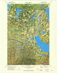
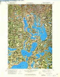
1972 Map of Laporte
USGS Topo · Published 1974About this map
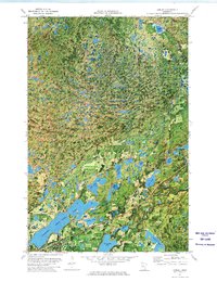
Kabekona Lake and the winding Kabekona River dominate this Hubbard County landscape, where the dense timber of the Paul Bunyan State Forest meets the scattered settlements of the early 1970s. The village of Laporte serves as a local hub, situated near the shore of Garfield Lake and served by the Burlington Northern railroad line. The map reveals a transition from managed forest lands to small clearings and rural outposts like Evergreen and Kabekona Corner.
Find a feature on this map
25 named features on this map. Tap any name to fly to it.
Don’t see what you’re looking for? This feature index may not catch every label — zoom into the map to look around manually.
Map Details
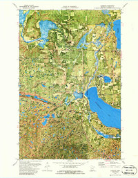
Editions of this 1972 Laporte Map
2 editions found
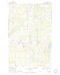
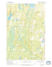
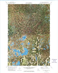
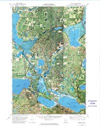
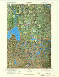
Other maps of this area

1954 · Bemidji
USGS Topo · 1:250,000

1957 · Bemidji
USGS Topo · 1:250,000

1958 · Bemidji
USGS Topo · 1:250,000
1968 · Guthrie
USGS Topo · 1:24,000
1968 · Frontenac Lake
USGS Topo · 1:24,000
1972 · Mantrap Lake
USGS Topo · 1:24,000
1972 · East Crooked Lake
USGS Topo · 1:24,000
1972 · Benedict
USGS Topo · 1:24,000
1972 · Lake George
USGS Topo · 1:24,000
1972 · Akeley
USGS Topo · 1:24,000