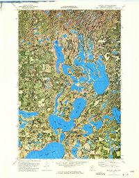
1972 Map of Mantrap Lake
USGS Topo · Published 1974About this map
Paul Bunyan State Forest dominates this section of Hubbard County, where a complex network of glacial lakes defines the landscape. The intricate, interlocking shorelines of Mantrap Lake and Upper Bottle Lake illustrate the transition between dense woodland and a water-based economy that, by the early 1970s, was increasingly centered on recreation and conservation. The settlement at Emmaville serves as a small social hub for the surrounding township, located near the Townhall and the Lake Emma Cem. This orthophotomap combines aerial photography with traditional topographic contours, showing the specific layout of lakeside developments, from the established Campground on Mantrap to the varied elevations around Big Sand Lake and Bad Axe Lake. The presence of a Gravel Pit indicates local infrastructure needs, while numerous public access points suggest the area's continued importance for timber and tourism.
Find a feature on this map
26 named features on this map. Tap any name to fly to it.
Don’t see what you’re looking for? This feature index may not catch every label — zoom into the map to look around manually.
Map Details
Editions of this 1972 Mantrap Lake Map
2 editions found
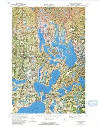
Other maps of this area

1953 · Brainerd
USGS Topo · 1:250,000

1954 · Bemidji
USGS Topo · 1:250,000

1957 · Brainerd
USGS Topo · 1:250,000

1957 · Bemidji
USGS Topo · 1:250,000

1958 · Bemidji
USGS Topo · 1:250,000

1958 · Brainerd
USGS Topo · 1:250,000

1965 · Brainerd
USGS Topo · 1:250,000

1969 · Park Rapids
USGS Topo · 1:24,000

1970 · Nevis
USGS Topo · 1:24,000

1970 · Dorset
USGS Topo · 1:24,000