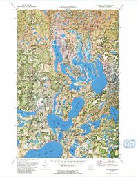
1972 Map of Mantrap Lake
USGS Topo · Published 1991About this map
Paul Bunyan State Forest encompasses a massive complex of interconnected glacial lakes and dense timberland in Hubbard County. This orthophotomap, derived from 1969 aerial photography and 1972 topography, reveals the intricate shorelines and wetlands of the Mantrap chain. The small settlement of Emmaville sits at a crossroads in the western portion of the sheet, while the nearby Lake Emma Cem provides a specific point of interest for those tracing local family history.
Find a feature on this map
26 named features on this map. Tap any name to fly to it.
Don’t see what you’re looking for? This feature index may not catch every label — zoom into the map to look around manually.
Map Details
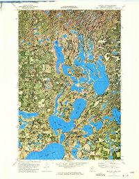
Editions of this 1972 Mantrap Lake Map
2 editions found
Other maps of this area

1953 · Brainerd
USGS Topo · 1:250,000

1954 · Bemidji
USGS Topo · 1:250,000

1957 · Brainerd
USGS Topo · 1:250,000

1957 · Bemidji
USGS Topo · 1:250,000

1958 · Bemidji
USGS Topo · 1:250,000

1958 · Brainerd
USGS Topo · 1:250,000

1965 · Brainerd
USGS Topo · 1:250,000

1969 · Park Rapids
USGS Topo · 1:24,000

1970 · Nevis
USGS Topo · 1:24,000

1970 · Dorset
USGS Topo · 1:24,000