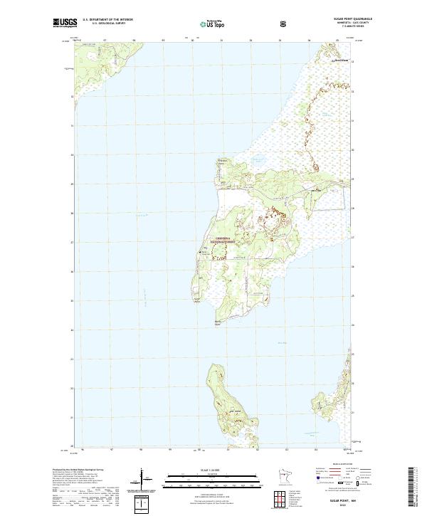
2022 Map of Sugar Point
USGS Topo · Published 2022About this map
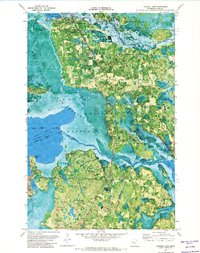
Chippewa National Forest encompasses much of this shoreline on Leech Lake, where the landscape is defined by the intricate peninsulas and bays of Cass County. The settlement of Sugar Point sits on a prominent landform overlooking the water, just south of the White Cloud Cem. To the north, the Leech River flows near Federal Dam, a key point of water management for the region. The interior geography reveals a complex wetland system, including the Sugar Point Bog and the isolated Bobo Link Lake. The southern portion of the sheet is dominated by larger water bodies like Boy Bay and Headquarters Bay, which frame the sizable Bear Island. This modern survey details the road network serving the lakeshore, including Co Rd 73 NW and Resvn Hwy 8.
Find a feature on this map
26 named features on this map. Tap any name to fly to it.
Don’t see what you’re looking for? This feature index may not catch every label — zoom into the map to look around manually.
Map Details
Editions of this 2022 Sugar Point Map
This is the sole edition of this map. No revisions or reprints were ever made.
Other maps of this area

1954 · Bemidji
USGS Topo · 1:250,000

1957 · Bemidji
USGS Topo · 1:250,000

1958 · Bemidji
USGS Topo · 1:250,000
1971 · Jack Lake
USGS Topo · 1:24,000

1971 · Bena
USGS Topo · 1:24,000
1971 · Town Line Lake
USGS Topo · 1:24,000
1971 · Whipholt
USGS Topo · 1:24,000

1971 · Sucker Lakes
USGS Topo · 1:24,000
1971 · Federal Dam
USGS Topo · 1:24,000

1971 · Portage Lake
USGS Topo · 1:24,000