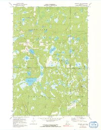
1971 Map of Stewart Lake
USGS Topo · Published 1991About this map
Fifty Lakes sits at the southern edge of this north-central Minnesota landscape, where the corporate boundary straddles the line between Cass and Crow Wing counties. This area is defined by a dense network of glacial lakes and wetlands, much of which is protected within the Land O' Lakes State Forest. The map captures a moment in the early 1970s before significant modern development, showing a land of seasonal access and rural infrastructure. Local landmarks like the Blind Lake Ch and the nearby Townhall serve as the primary hubs for the surrounding lake communities. A series of specialized routes, including the Winter Trail, highlights how the local population navigated this water-heavy terrain. From the curious naming of Dirty House Lake to the central expanse of Stewart Lake, the topography reveals a quiet region shaped by timber and water.
Find a feature on this map
31 named features on this map. Tap any name to fly to it.
Don’t see what you’re looking for? This feature index may not catch every label — zoom into the map to look around manually.
Map Details
Editions of this 1971 Stewart Lake Map
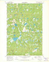
2 editions found
Other maps of this area

1953 · Brainerd
USGS Topo · 1:250,000

1957 · Brainerd
USGS Topo · 1:250,000

1958 · Brainerd
USGS Topo · 1:250,000

1959 · Lower Whitefish Lake
USGS Topo · 1:24,000

1959 · Jenkins
USGS Topo · 1:24,000

1960 · Cross Lake
USGS Topo · 1:24,000

1965 · Brainerd
USGS Topo · 1:250,000

1970 · Laura Lake
USGS Topo · 1:24,000
1970 · Mitchell Lake
USGS Topo · 1:24,000

1970 · Woman Lake
USGS Topo · 1:24,000