
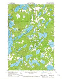
1960 Map of Cross Lake
USGS Topo · Published 1961About this map
Crow Wing State Forest dominates this mid-century landscape, a watery labyrinth of glacial lakes and wetlands defined by the intricate shorelines of Little Pine Lake and Daggett Lake. The map reveals a transition from the quiet timberlands of Watertown and Fairfield to the developing recreational and residential hubs of Cross Lake and Fifty Lakes. Local infrastructure is well-established at this time, evidenced by the presence of the Crosslake Post Office, the Cross Lake School, and the Pinewood Cemetery to the south.
Find a feature on this map
64 named features on this map. Tap any name to fly to it.
Don’t see what you’re looking for? This feature index may not catch every label — zoom into the map to look around manually.
Map Details
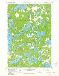
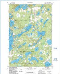
Editions of this 1960 Cross Lake Map
4 editions found
Other maps of this area

1913 · Cuyuna
USGS Topo · 1:62,500

1915 · Cuyuna
USGS Topo · 1:62,500

1953 · Duluth
USGS Topo · 1:250,000

1953 · Brainerd
USGS Topo · 1:250,000

1957 · Brainerd
USGS Topo · 1:250,000

1958 · Brainerd
USGS Topo · 1:250,000

1958 · Duluth
USGS Topo · 1:250,000

1959 · Trommald
USGS Topo · 1:24,000

1959 · Pelican Lake
USGS Topo · 1:24,000

1959 · Lower Whitefish Lake
USGS Topo · 1:24,000