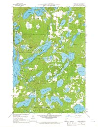
1960 Map of Cross Lake
USGS Topo · Published 1966About this map
The labyrinthine waters of the Crow Wing State Forest dominate this mid-century topographic record, where the interconnected basins of Cross Lake, Little Pine Lake, and Daggett Lake form a complex aquatic network. This survey reflects a period of established lakeside settlement and recreation in Crow Wing County, evidenced by the clustered village boundaries of Fifty Lakes, Emily, and Manhattan Beach. The landscape is a mix of wooded glacial terrain and boggy depressions like Bailey Bog, punctuated by essential community landmarks such as the Cross Lake Sch and Pinewood Cem. Cultural features of the era are clearly visible, including a Drive-in Theater near the western shore and the Gaging Station monitoring the Pine River flow. Depth curves across major water bodies like West Fox Lake and East Fox Lake provide a rare look at the underwater topography as recorded by the Minnesota Department of Conservation.
Find a feature on this map
71 named features on this map. Tap any name to fly to it.
Don’t see what you’re looking for? This feature index may not catch every label — zoom into the map to look around manually.
Map Details
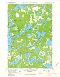
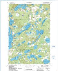
Editions of this 1960 Cross Lake Map
4 editions found

Other maps of this area

1913 · Cuyuna
USGS Topo · 1:62,500

1915 · Cuyuna
USGS Topo · 1:62,500

1953 · Duluth
USGS Topo · 1:250,000

1953 · Brainerd
USGS Topo · 1:250,000

1957 · Brainerd
USGS Topo · 1:250,000

1958 · Brainerd
USGS Topo · 1:250,000

1958 · Duluth
USGS Topo · 1:250,000

1959 · Trommald
USGS Topo · 1:24,000

1959 · Pelican Lake
USGS Topo · 1:24,000

1959 · Lower Whitefish Lake
USGS Topo · 1:24,000