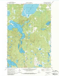
1970 Map of Thunder Lake
USGS Topo · Published 1986About this map
Chippewa National Forest and Land O' Lakes State Forest converge in this northern landscape, dominated by a dense network of glacial lakes and wetlands as they appeared in 1970. The hydrography, compiled by the Minnesota Department of Conservation, reveals the intricate connectivity between Thunder Lake and smaller bodies like Kidney Lake and Bush Lake. Settlement is sparse, characterized by administrative and utility markers such as the Townhall near Big Rice Lake and the Draper Lookout Tower positioned on high ground.
Find a feature on this map
32 named features on this map. Tap any name to fly to it.
Don’t see what you’re looking for? This feature index may not catch every label — zoom into the map to look around manually.
Map Details
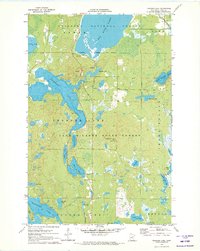
Editions of this 1970 Thunder Lake Map
2 editions found
Other maps of this area

1953 · Duluth
USGS Topo · 1:250,000

1953 · Brainerd
USGS Topo · 1:250,000

1954 · Bemidji
USGS Topo · 1:250,000

1954 · Hibbing
USGS Topo · 1:250,000

1957 · Brainerd
USGS Topo · 1:250,000

1957 · Bemidji
USGS Topo · 1:250,000

1957 · Hibbing
USGS Topo · 1:250,000

1958 · Bemidji
USGS Topo · 1:250,000

1958 · Hibbing
USGS Topo · 1:250,000

1958 · Brainerd
USGS Topo · 1:250,000