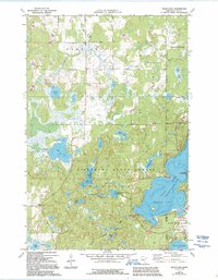
1973 Map of Wilson Bay
USGS Topo · Published 1995About this map
Pillsbury State Forest dominates this Central Minnesota landscape, where numerous glacial lakes and intricate wetlands define the terrain of Home Brook and Fairview townships. The eastern edge reveals the development of Lake Shore and East Gull Lake along the sprawling waters of Gull Lake, including the distinctive Wilson Bay. This survey captures the region as it transitioned into a premier recreational destination, featuring the Rock Lake Campground, a Golf Course, and St Thomas of the Pines Ch. Away from the main lakefront, the interior remains a mosaic of smaller water bodies like Hardy Lake and Shafer Lake, connected by drainages such as Rush Brook. Local infrastructure is marked by the Gull Lake Lookout Tower and several Gravel Pits, reflecting the area's geological character and mid-century management.
Find a feature on this map
37 named features on this map. Tap any name to fly to it.
Don’t see what you’re looking for? This feature index may not catch every label — zoom into the map to look around manually.
Map Details
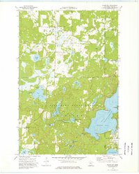
Editions of this 1973 Wilson Bay Map
2 editions found
Other maps of this area

1916 · Pillager
USGS Topo · 1:62,500

1919 · Pillager
USGS Topo · 1:62,500

1919 · Leader
USGS Topo · 1:62,500

1953 · Brainerd
USGS Topo · 1:250,000

1954 · Baxter
USGS Topo · 1:24,000

1954 · Pillager
USGS Topo · 1:24,000

1957 · Brainerd
USGS Topo · 1:250,000

1958 · Brainerd
USGS Topo · 1:250,000

1959 · Nisswa
USGS Topo · 1:24,000

1959 · Pine River SW
USGS Topo · 1:24,000