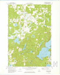
1973 Map of Wilson Bay
USGS Topo · Published 1976About this map
Pillsbury State Forest dominates this Central Minnesota landscape, where the dense timber of the lake country meets the growing communities of Lake Shore and East Gull Lake. This mid-1970s survey illustrates a region defined by its hydrology, with massive water bodies like Gull Lake and its prominent Wilson Bay providing a backdrop for recreational and civic development. The map details localized landmarks such as the St Thomas of the Pines Ch and a nearby Cem, along with the Gull Lake Lookout Tower standing over the forest canopy.
Find a feature on this map
41 named features on this map. Tap any name to fly to it.
Don’t see what you’re looking for? This feature index may not catch every label — zoom into the map to look around manually.
Map Details
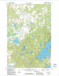
Editions of this 1973 Wilson Bay Map
2 editions found
Other maps of this area

1916 · Pillager
USGS Topo · 1:62,500

1919 · Pillager
USGS Topo · 1:62,500

1919 · Leader
USGS Topo · 1:62,500

1953 · Brainerd
USGS Topo · 1:250,000

1954 · Baxter
USGS Topo · 1:24,000

1954 · Pillager
USGS Topo · 1:24,000

1957 · Brainerd
USGS Topo · 1:250,000

1958 · Brainerd
USGS Topo · 1:250,000

1959 · Nisswa
USGS Topo · 1:24,000

1959 · Pine River SW
USGS Topo · 1:24,000