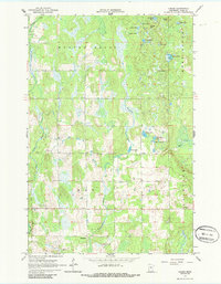
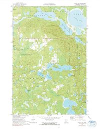
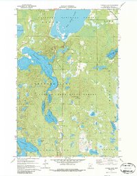
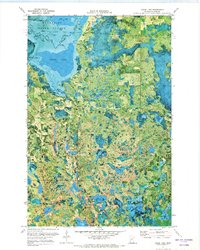
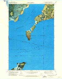
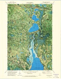
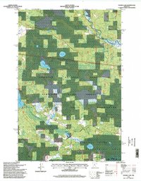
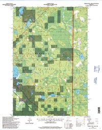
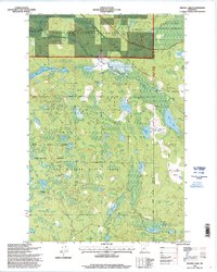
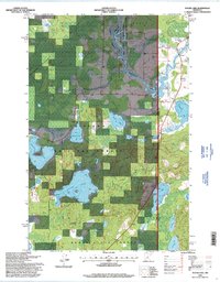
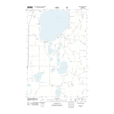
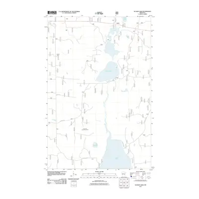
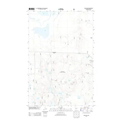
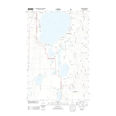
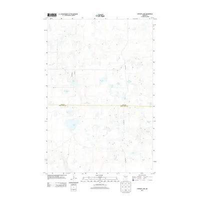
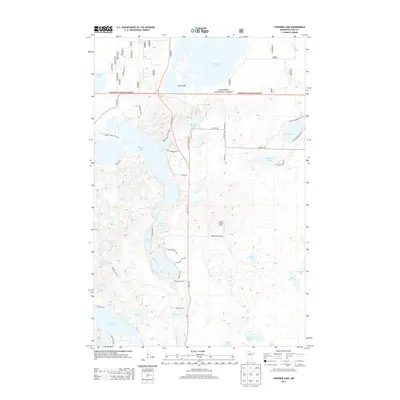
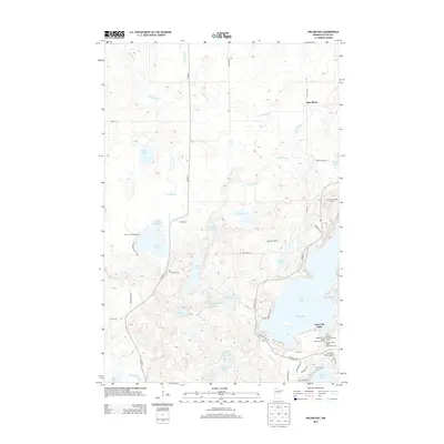
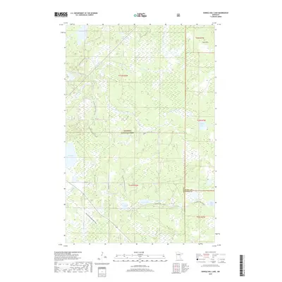
1996 Map of Sugar Point
USGS Topo · Published 2000About this map
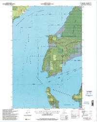
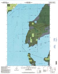
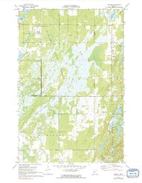
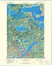
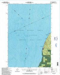
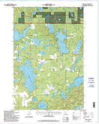
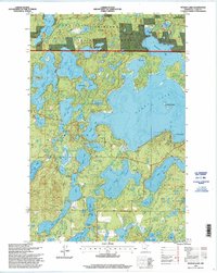
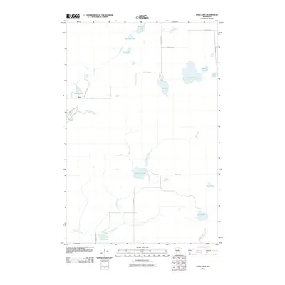
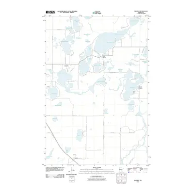
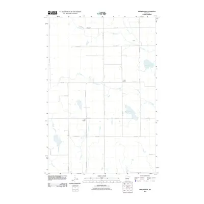
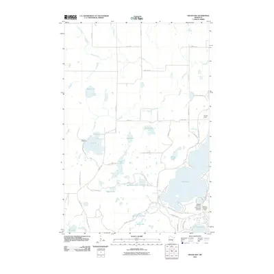
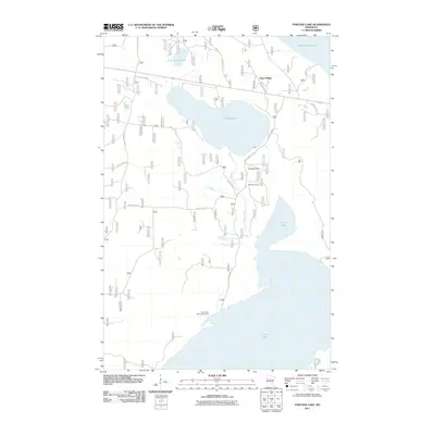
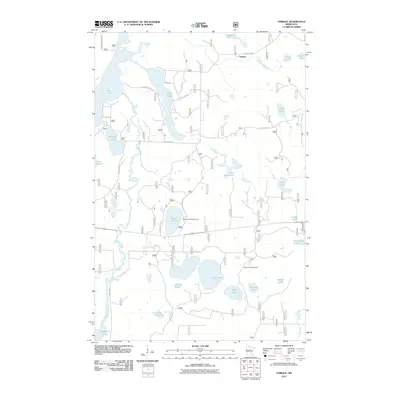
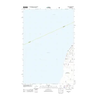
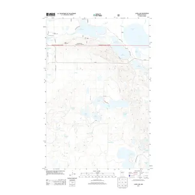
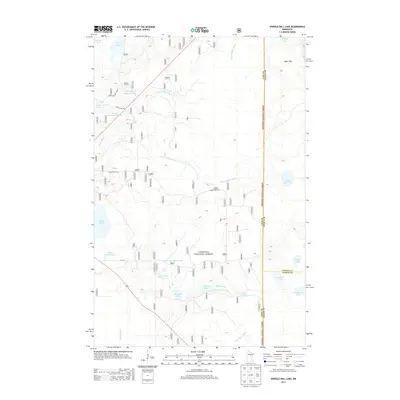
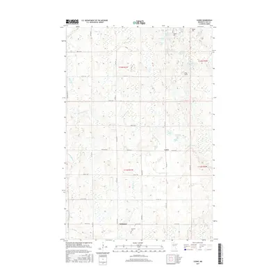
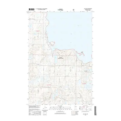
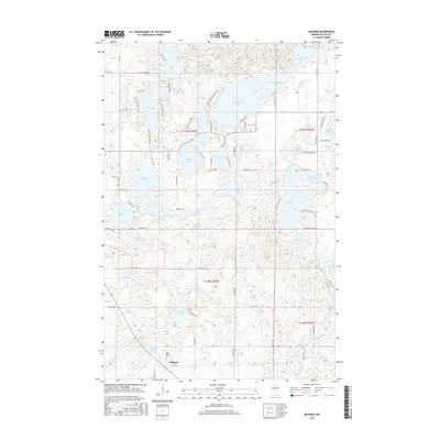
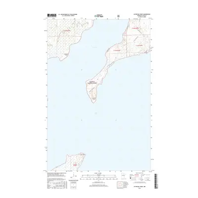
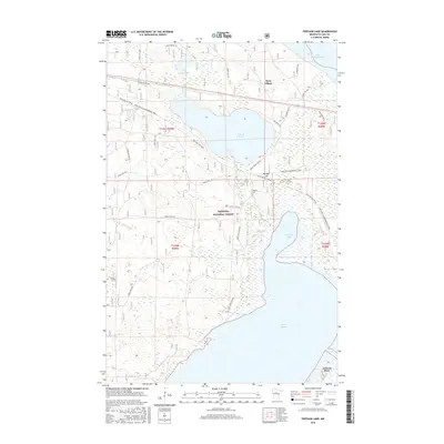
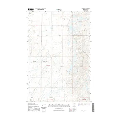
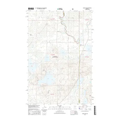
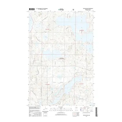
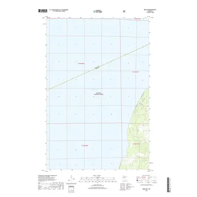
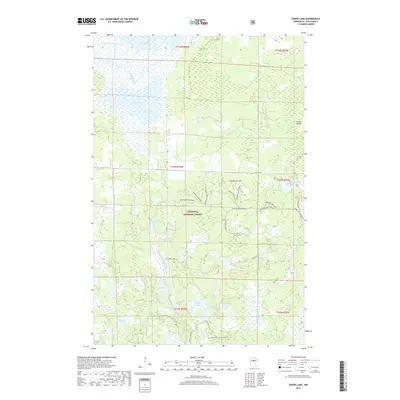
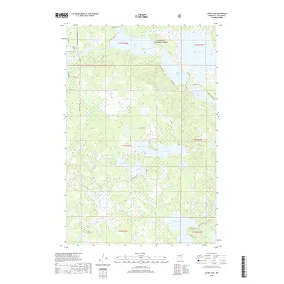
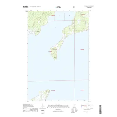
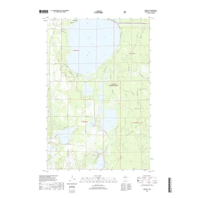
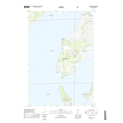
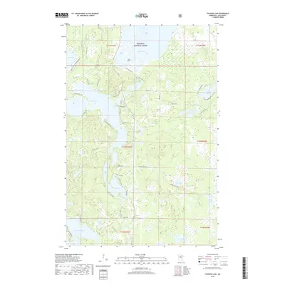
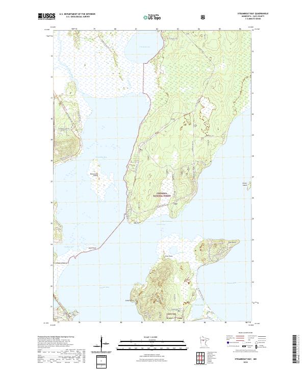
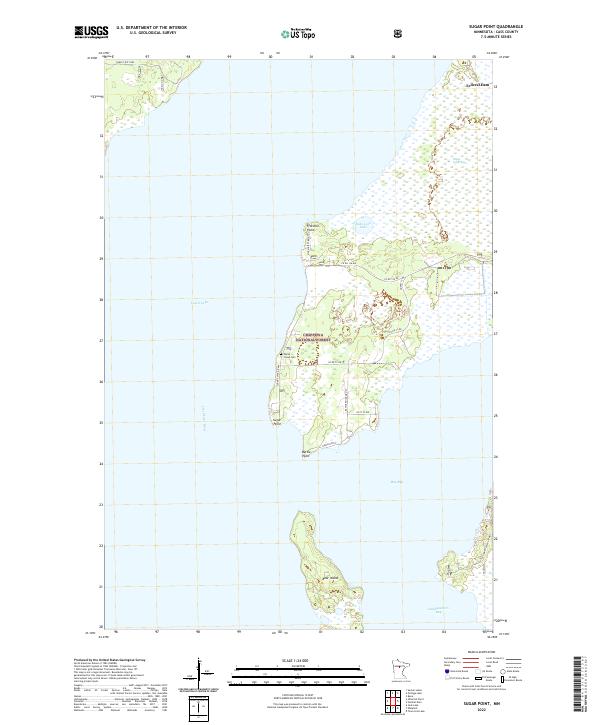
The Leech Lake Indian Reservation shoreline dominates this mid-1990s survey, defined by the prominent peninsula of Sugar Point. This geography is a complex intersection of jurisdictional boundaries, where the Chippewa National Forest overlaps with both the Bowstring State Forest and Battleground State Forest. The map captures a landscape of immense water bodies and specialized wetland environments, such as the expansive Sugar Point Bog to the east and the sheltered Harbor of Refuge in the northwest. For the genealogist and local historian, the presence of the White Cloud Cemetery near the western shore of the point offers a specific anchor for family research in this forested lakeside region. The map also details the transitional terrain between Boy Bay and Headquarters Bay, illustrating the intricate network of points and landings like Battle Point that have long facilitated movement across Leech Lake.
Find a feature on this map
20 named features on this map. Tap any name to fly to it.
Don’t see what you’re looking for? This feature index may not catch every label — zoom into the map to look around manually.
Map Details
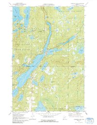
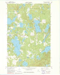
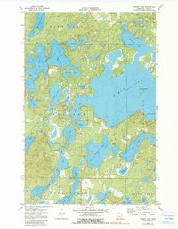
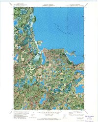
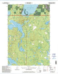
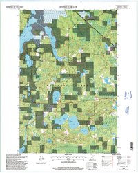
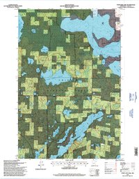
Editions of this 1996 Sugar Point Map
2 editions found
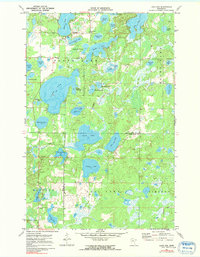
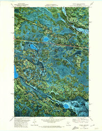
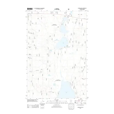
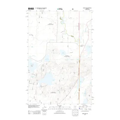
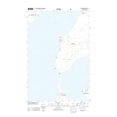
Historical Maps of Federal Dam Through Time
224 maps found
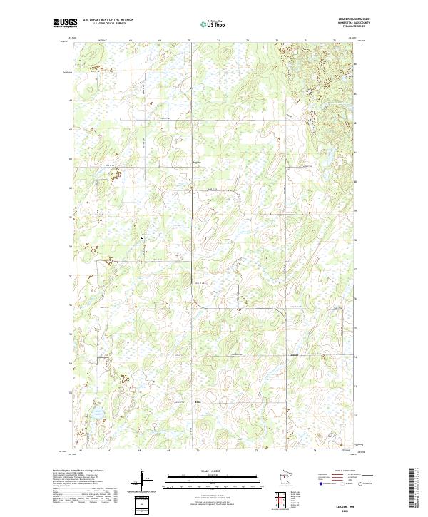
1919 Leader
Cass County, MN
1959 Pine River SW
Cass County, MN
1966 Casino
Cass County, MN
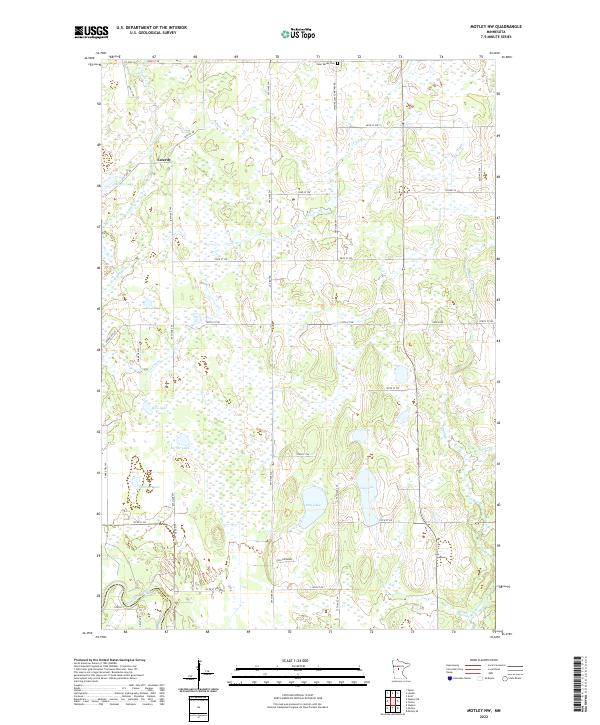
1966 Motley NW
Cass County, MN
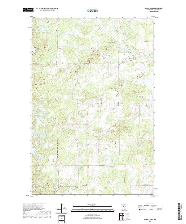
1970 Bungo Creek
Cass County, MN

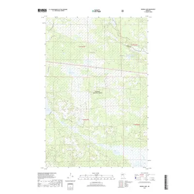
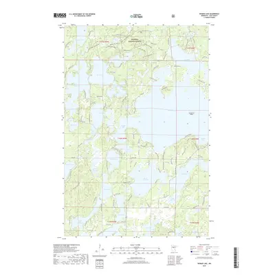
1970 Edna Lake
Cass County, MN
1970 Graff
Cass County, MN
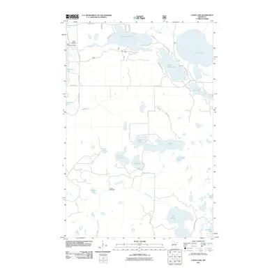
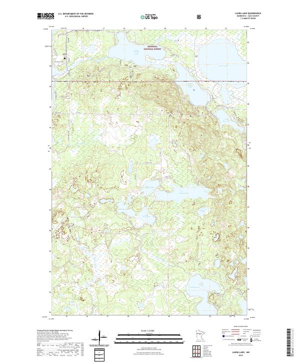
1970 Laura Lake
Cass County, MN
1970 Leader
Cass County, MN
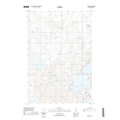
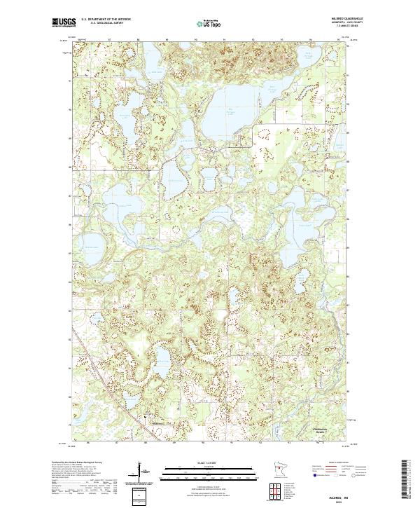
1970 Mildred
Cass County, MN
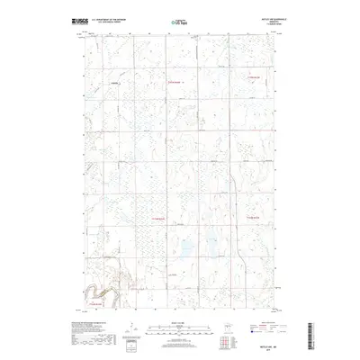
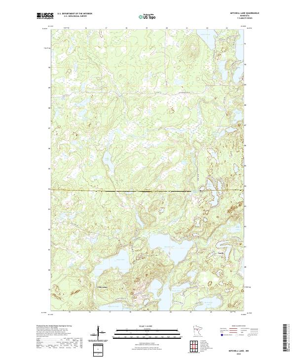
1970 Mitchell Lake
Cass County, MN
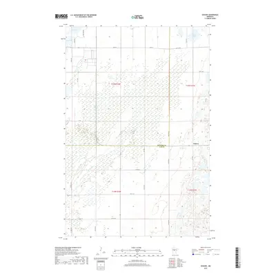
1970 Oshawa
Cass County, MN
1970 Roosevelt Lake
Cass County, MN
1970 Shovel Lake
Cass County, MN
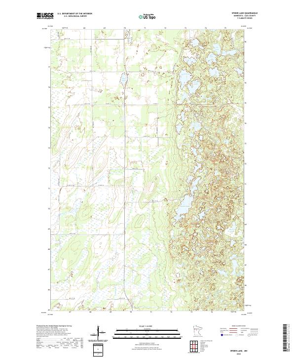
1970 Spider Lake
Cass County, MN
1970 Thunder Lake
Cass County, MN
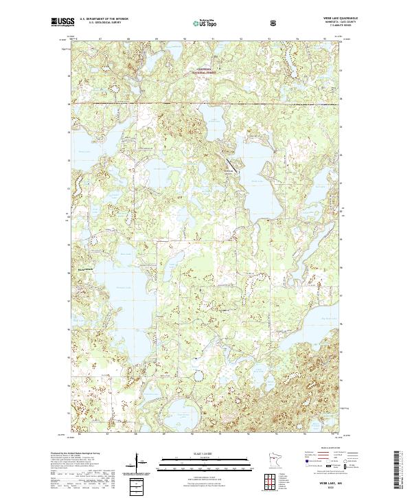
1970 Webb Lake
Cass County, MN
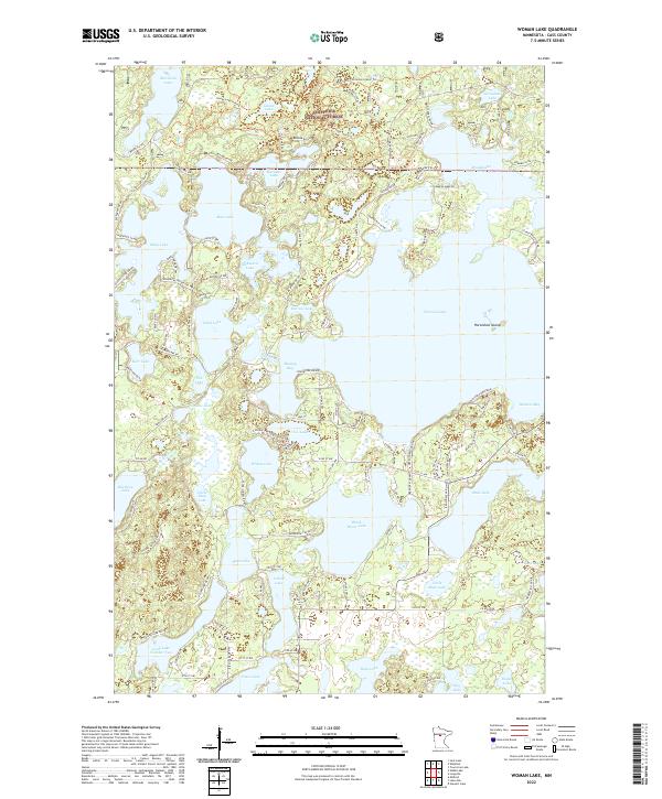
1970 Woman Lake
Cass County, MN
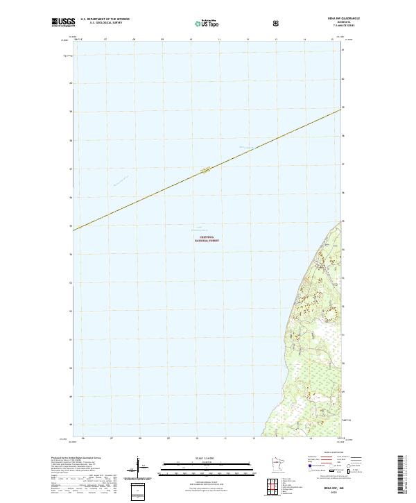
1971 Bena NW
Cass County, MN
1971 Goose Lake
Cass County, MN
1971 Jack Lake
Cass County, MN
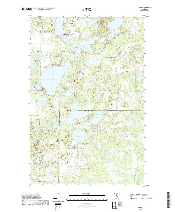
1971 Lake Ada
Cass County, MN
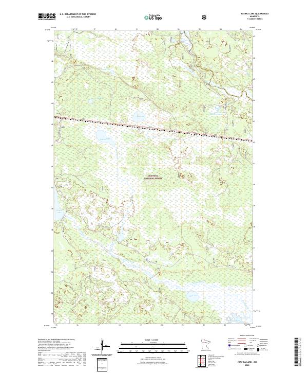
1971 Nushka Lake
Cass County, MN
1971 Ottertail Point
Cass County, MN
1971 Portage Lake
Cass County, MN
1971 Shingle Mill Lake
Cass County, MN
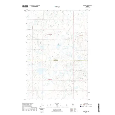
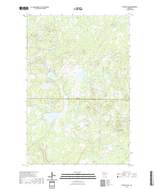
1971 Stewart Lake
Cass County, MN
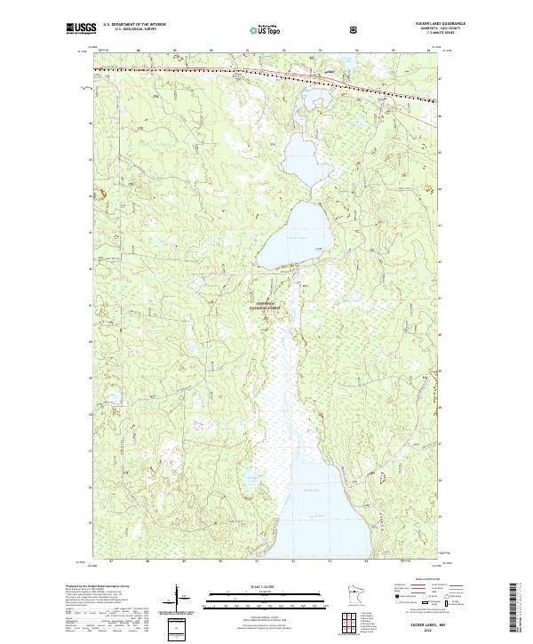
1971 Sucker Lakes
Cass County, MN
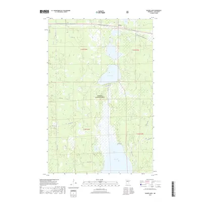
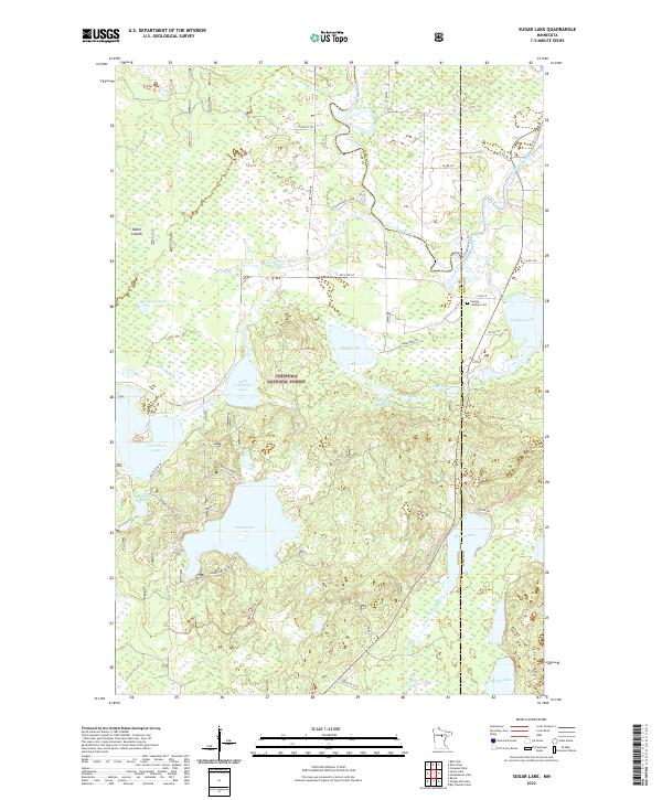
1971 Sugar Lake
Cass County, MN
1971 Sugar Point
Cass County, MN
1971 Tobique
Cass County, MN
1971 Town Line Lake
Cass County, MN
1972 Pike Bay
Cass County, MN
1972 Steamboat Bay
Cass County, MN
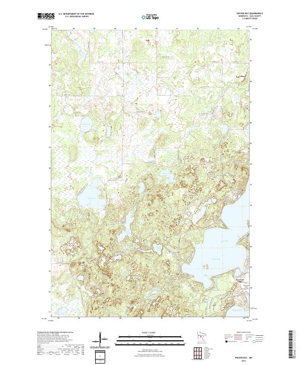
1973 Wilson Bay
Cass County, MN
1996 Bena NW
Cass County, MN
1996 Goose Lake
Cass County, MN
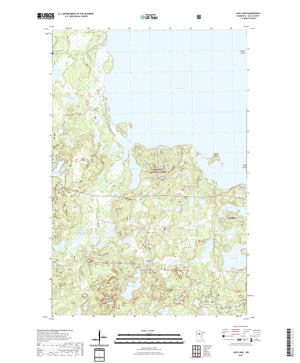
1996 Jack Lake
Cass County, MN
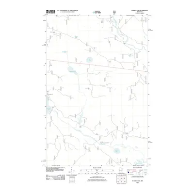
1996 Laura Lake
Cass County, MN
1996 Nushka Lake
Cass County, MN
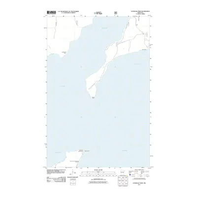
1996 Ottertail Point
Cass County, MN
1996 Pike Bay
Cass County, MN
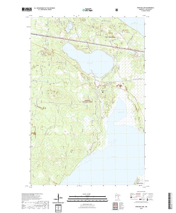
1996 Portage Lake
Cass County, MN
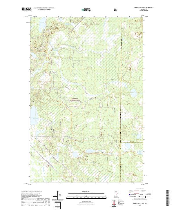
1996 Shingle Mill Lake
Cass County, MN
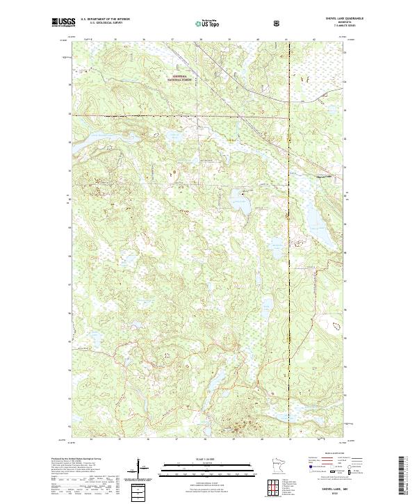
1996 Shovel Lake
Cass County, MN
1996 Steamboat Bay
Cass County, MN
1996 Sucker Lakes
Cass County, MN
1996 Sugar Lake
Cass County, MN
1996 Sugar Point
Cass County, MN
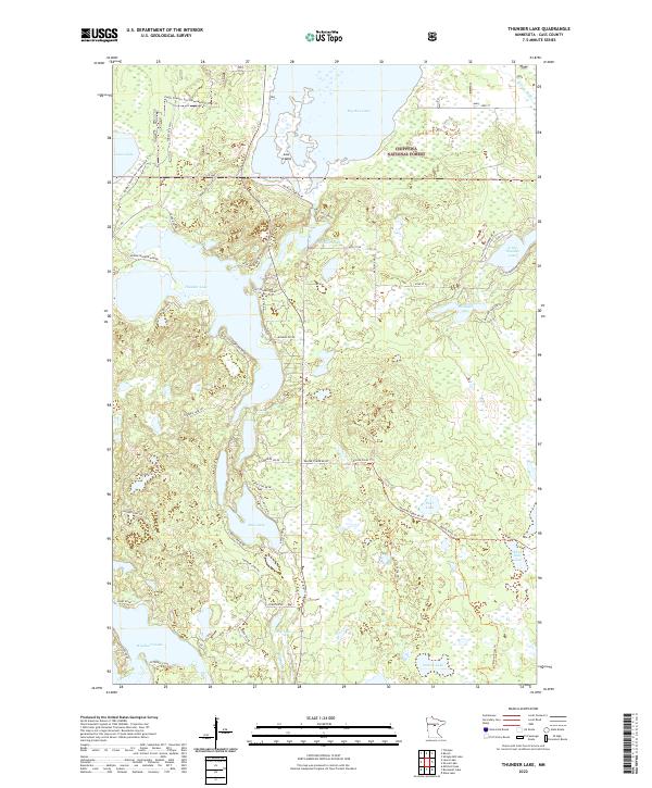
1996 Thunder Lake
Cass County, MN
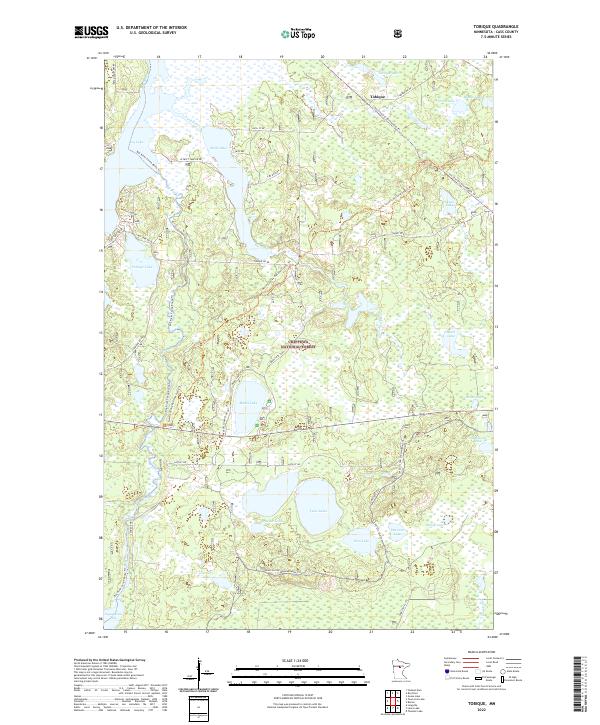
1996 Tobique
Cass County, MN
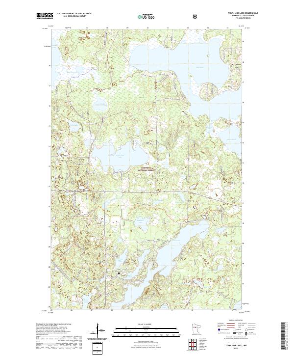
1996 Town Line Lake
Cass County, MN
1996 Webb Lake
Cass County, MN
1996 Woman Lake
Cass County, MN
2010 Bungo Creek
Cass County, MN
2010 Casino
Cass County, MN
2010 Edna Lake
Cass County, MN
2010 Graff
Cass County, MN
2010 Lake Ada
Cass County, MN
2010 Leader
Cass County, MN
2010 Mildred
Cass County, MN
2010 Mitchell Lake
Cass County, MN
2010 Motley NW
Cass County, MN
2010 Oshawa
Cass County, MN
2010 Pine River SW
Cass County, MN
2010 Roosevelt Lake
Cass County, MN
2010 Spider Lake
Cass County, MN
2010 Stewart Lake
Cass County, MN
2010 Wilson Bay
Cass County, MN
2011 Bena NW
Cass County, MN
2011 Goose Lake
Cass County, MN
2011 Jack Lake
Cass County, MN
2011 Laura Lake
Cass County, MN
2011 Nushka Lake
Cass County, MN
2011 Ottertail Point
Cass County, MN
2011 Pike Bay
Cass County, MN
2011 Portage Lake
Cass County, MN
2011 Shingle Mill Lake
Cass County, MN
2011 Shovel Lake
Cass County, MN
2011 Steamboat Bay
Cass County, MN
2011 Sucker Lakes
Cass County, MN
2011 Sugar Lake
Cass County, MN
2011 Sugar Point
Cass County, MN
2011 Thunder Lake
Cass County, MN
2011 Tobique
Cass County, MN
2011 Town Line Lake
Cass County, MN
2011 Webb Lake
Cass County, MN
2011 Woman Lake
Cass County, MN
2013 Bena NW
Cass County, MN
2013 Bungo Creek
Cass County, MN
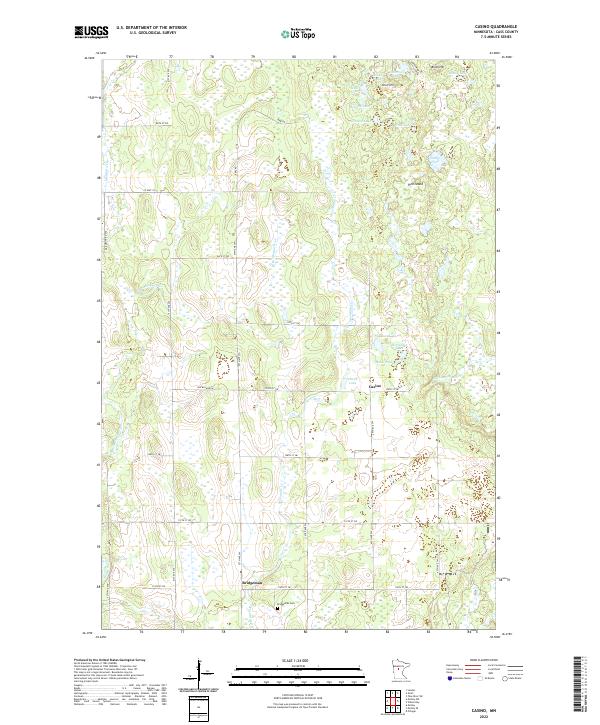
2013 Casino
Cass County, MN
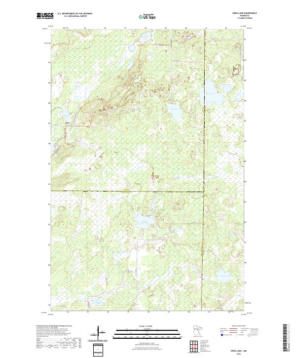
2013 Edna Lake
Cass County, MN
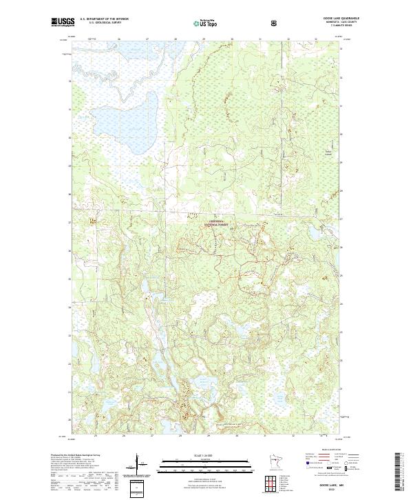
2013 Goose Lake
Cass County, MN
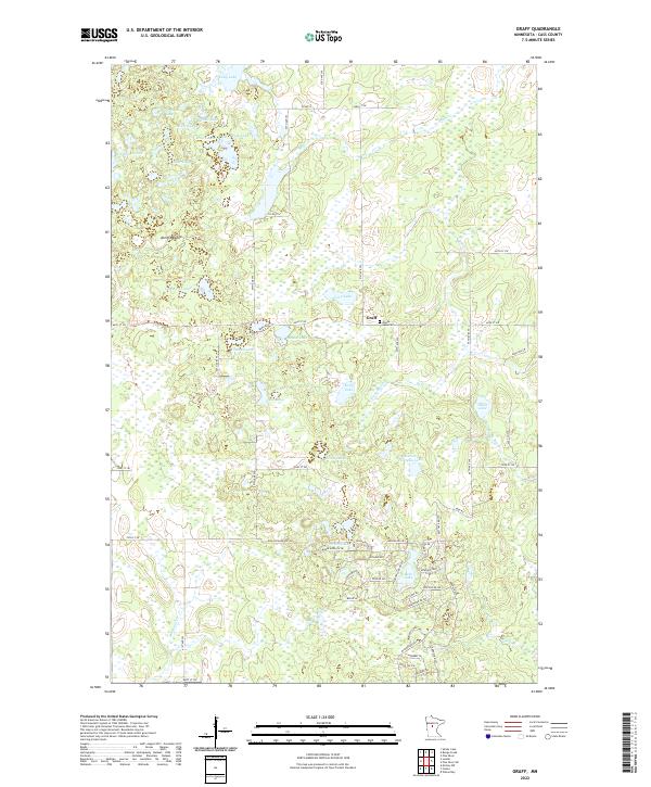
2013 Graff
Cass County, MN
2013 Jack Lake
Cass County, MN
2013 Lake Ada
Cass County, MN
2013 Laura Lake
Cass County, MN
2013 Leader
Cass County, MN
2013 Mildred
Cass County, MN
2013 Mitchell Lake
Cass County, MN
2013 Motley NW
Cass County, MN
2013 Nushka Lake
Cass County, MN
2013 Oshawa
Cass County, MN
2013 Ottertail Point
Cass County, MN
2013 Pike Bay
Cass County, MN
2013 Pine River SW
Cass County, MN
2013 Portage Lake
Cass County, MN
2013 Roosevelt Lake
Cass County, MN
2013 Shingle Mill Lake
Cass County, MN
2013 Shovel Lake
Cass County, MN
2013 Spider Lake
Cass County, MN
2013 Steamboat Bay
Cass County, MN
2013 Stewart Lake
Cass County, MN
2013 Sucker Lakes
Cass County, MN
2013 Sugar Lake
Cass County, MN
2013 Sugar Point
Cass County, MN
2013 Thunder Lake
Cass County, MN
2013 Tobique
Cass County, MN
2013 Town Line Lake
Cass County, MN
2013 Webb Lake
Cass County, MN
2013 Wilson Bay
Cass County, MN
2013 Woman Lake
Cass County, MN
2016 Bena NW
Cass County, MN
2016 Bungo Creek
Cass County, MN
2016 Casino
Cass County, MN
2016 Edna Lake
Cass County, MN
2016 Goose Lake
Cass County, MN
2016 Graff
Cass County, MN
2016 Jack Lake
Cass County, MN
2016 Lake Ada
Cass County, MN
2016 Laura Lake
Cass County, MN
2016 Leader
Cass County, MN
2016 Mildred
Cass County, MN
2016 Mitchell Lake
Cass County, MN
2016 Motley NW
Cass County, MN
2016 Nushka Lake
Cass County, MN
2016 Oshawa
Cass County, MN
2016 Ottertail Point
Cass County, MN
2016 Pike Bay
Cass County, MN
2016 Pine River SW
Cass County, MN
2016 Portage Lake
Cass County, MN
2016 Roosevelt Lake
Cass County, MN
2016 Shingle Mill Lake
Cass County, MN
2016 Shovel Lake
Cass County, MN
2016 Spider Lake
Cass County, MN
2016 Steamboat Bay
Cass County, MN
2016 Stewart Lake
Cass County, MN
2016 Sucker Lakes
Cass County, MN
2016 Sugar Lake
Cass County, MN
2016 Sugar Point
Cass County, MN
2016 Thunder Lake
Cass County, MN
2016 Tobique
Cass County, MN
2016 Town Line Lake
Cass County, MN
2016 Webb Lake
Cass County, MN
2016 Wilson Bay
Cass County, MN
2016 Woman Lake
Cass County, MN
2019 Bena NW
Cass County, MN
2019 Bungo Creek
Cass County, MN
2019 Casino
Cass County, MN
2019 Edna Lake
Cass County, MN
2019 Goose Lake
Cass County, MN
2019 Graff
Cass County, MN
2019 Jack Lake
Cass County, MN
2019 Lake Ada
Cass County, MN
2019 Laura Lake
Cass County, MN
2019 Leader
Cass County, MN
2019 Mildred
Cass County, MN
2019 Mitchell Lake
Cass County, MN
2019 Motley NW
Cass County, MN
2019 Nushka Lake
Cass County, MN
2019 Oshawa
Cass County, MN
2019 Ottertail Point
Cass County, MN
2019 Pike Bay
Cass County, MN
2019 Pine River SW
Cass County, MN
2019 Portage Lake
Cass County, MN
2019 Roosevelt Lake
Cass County, MN
2019 Shingle Mill Lake
Cass County, MN
2019 Shovel Lake
Cass County, MN
2019 Spider Lake
Cass County, MN
2019 Steamboat Bay
Cass County, MN
2019 Stewart Lake
Cass County, MN
2019 Sucker Lakes
Cass County, MN
2019 Sugar Lake
Cass County, MN
2019 Sugar Point
Cass County, MN
2019 Thunder Lake
Cass County, MN
2019 Tobique
Cass County, MN
2019 Town Line Lake
Cass County, MN
2019 Webb Lake
Cass County, MN
2019 Wilson Bay
Cass County, MN
2019 Woman Lake
Cass County, MN
2022 Bena NW
Cass County, MN
2022 Bungo Creek
Cass County, MN
2022 Casino
Cass County, MN
2022 Edna Lake
Cass County, MN
2022 Goose Lake
Cass County, MN
2022 Graff
Cass County, MN
2022 Jack Lake
Cass County, MN
2022 Lake Ada
Cass County, MN
2022 Laura Lake
Cass County, MN
2022 Leader
Cass County, MN
2022 Mildred
Cass County, MN
2022 Mitchell Lake
Cass County, MN
2022 Motley NW
Cass County, MN
2022 Nushka Lake
Cass County, MN
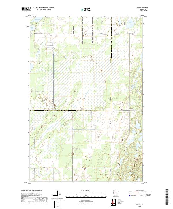
2022 Oshawa
Cass County, MN
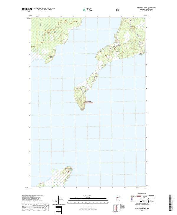
2022 Ottertail Point
Cass County, MN
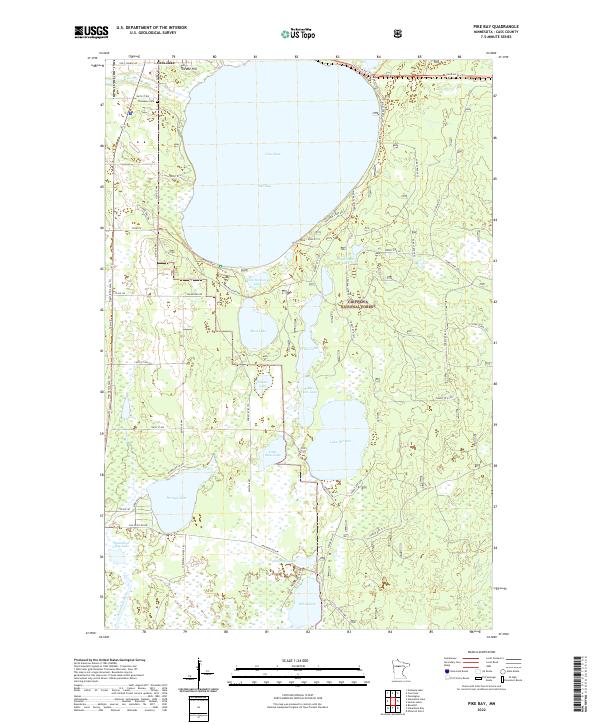
2022 Pike Bay
Cass County, MN
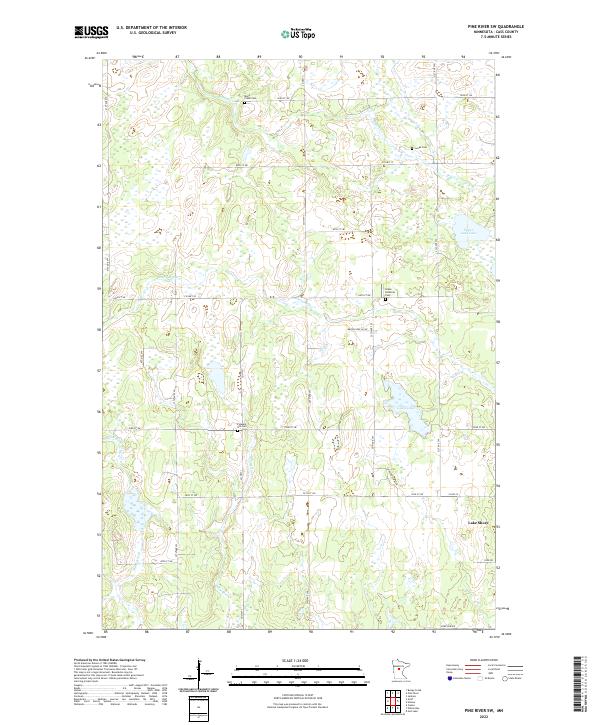
2022 Pine River SW
Cass County, MN
2022 Portage Lake
Cass County, MN

2022 Roosevelt Lake
Cass County, MN
2022 Shingle Mill Lake
Cass County, MN
2022 Shovel Lake
Cass County, MN
2022 Spider Lake
Cass County, MN
2022 Steamboat Bay
Cass County, MN
2022 Stewart Lake
Cass County, MN
2022 Sucker Lakes
Cass County, MN
2022 Sugar Lake
Cass County, MN
2022 Sugar Point
Cass County, MN
2022 Thunder Lake
Cass County, MN
2022 Tobique
Cass County, MN
2022 Town Line Lake
Cass County, MN
2022 Webb Lake
Cass County, MN
2022 Wilson Bay
Cass County, MN
2022 Woman Lake
Cass County, MN