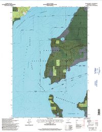
1996 Map of Sugar Point
USGS Topo · Published 1998About this map
Leech Lake defines the western half of this landscape, its waters meeting the peninsula of the Leech Lake Indian Reservation at points that carry significant historical weight. The map shows the site of the Battleground near Fivemile Point, marking a specific intersection of indigenous and federal history within the Chippewa National Forest. The transition from the open lake to the dense Sugar Point Bog illustrates the varied wetland environments of northern Minnesota during the late twentieth century.
Find a feature on this map
23 named features on this map. Tap any name to fly to it.
Don’t see what you’re looking for? This feature index may not catch every label — zoom into the map to look around manually.
Map Details
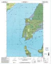
Editions of this 1996 Sugar Point Map
2 editions found
Other maps of this area

1954 · Bemidji
USGS Topo · 1:250,000

1957 · Bemidji
USGS Topo · 1:250,000

1958 · Bemidji
USGS Topo · 1:250,000
1971 · Jack Lake
USGS Topo · 1:24,000

1971 · Bena
USGS Topo · 1:24,000
1971 · Town Line Lake
USGS Topo · 1:24,000
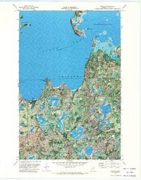
1971 · Whipholt
USGS Topo · 1:24,000

1971 · Sucker Lakes
USGS Topo · 1:24,000
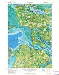
1971 · Federal Dam
USGS Topo · 1:24,000

1971 · Portage Lake
USGS Topo · 1:24,000