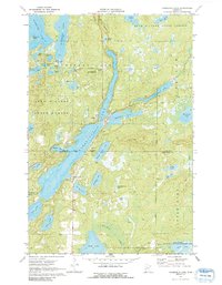
1970 Map of Roosevelt Lake
USGS Topo · Published 1991About this map
Outing and the northern portion of Emily anchor this landscape defined by an intricate network of glaciated basins and wetlands at the border of Cass and Crow Wing counties. The sprawling waters of Roosevelt Lake dominate the central terrain, bordered by several smaller bodies like Lawrence Lake and Leavitt Lake. Much of the area is protected within the Land O' Lakes State Forest, with specific recreational and conservation points including the Washburn Lake Campground and a Ranger Station near Grasshopper Lake. To the south, the Duck Lake State Wildlife Management Area highlights the transition into more marshy territory. This 1970 field-checked survey preserves the layout of seasonal roads, gravel pits, and small shoreline developments before further modern expansion reached these northern woods.
Find a feature on this map
47 named features on this map. Tap any name to fly to it.
Don’t see what you’re looking for? This feature index may not catch every label — zoom into the map to look around manually.
Map Details
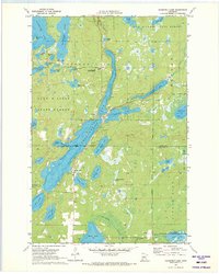
Editions of this 1970 Roosevelt Lake Map
2 editions found
Other maps of this area

1913 · Cuyuna
USGS Topo · 1:62,500

1915 · Cuyuna
USGS Topo · 1:62,500

1953 · Duluth
USGS Topo · 1:250,000

1953 · Brainerd
USGS Topo · 1:250,000

1957 · Brainerd
USGS Topo · 1:250,000

1958 · Brainerd
USGS Topo · 1:250,000

1958 · Duluth
USGS Topo · 1:250,000

1960 · Cross Lake
USGS Topo · 1:24,000

1965 · Brainerd
USGS Topo · 1:250,000

1970 · Laura Lake
USGS Topo · 1:24,000