Old Maps of Emily, Minnesota for Academic Research
Study the evolution of Emily with 34 high-resolution historic maps. Whether you're teaching, researching, or modeling changes in land use, these maps provide essential visual documentation of urban, environmental, and geographic change.
- Analyze long-term change: Track patterns in development, transportation, and natural features.
- Ideal for environmental or urban studies: Support academic projects with primary historical map data.
- Use in the classroom or lab: Educators and researchers rely on these maps to bring historical context to life.
These maps are a powerful tool for teaching, research, and visualizing how Emily has changed over the decades.
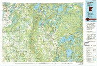
Emily, MN maps
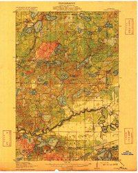
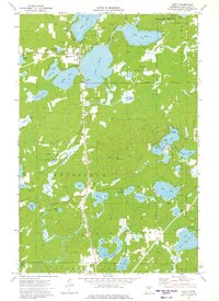
(34)- 1913 Map of Cuyuna, 1963 Print
 1913 Cuyuna1963 Print · USGSBefore the height of northern Minnesota's iron boom, this area centered on the nascent village of Cuyuna and the logging town of Emily. Genealogists and researchers can trace the early township school system through sites like Mud Brook School and Keeler School, or follow the competing routes of the Northern Pacific and Minneapolis St Paul and Sault Ste Marie railroads.2 unique versions available
 - 1915 Map of Cuyuna
 1915 Cuyuna1915 Print · USGSCrow Wing and Aitkin counties are captured here just before the First World War, as railroads and mining began to transform the lake-heavy landscape. Genealogists can locate many numbered district schools and settlements like Emily, Manganese, and Dean Lake.3 unique versions available
 - 1953 Map of Duluth, 1964 Print
 1953 Duluth1964 Print · USGSNortheastern Minnesota and northwestern Wisconsin are shown here during a period of industrial maturity and expanding conservation. Genealogists and historians can trace rail-connected towns like McGrath and Wahkon, or locate heritage sites within the Fond du Lac Indian Reservation.2 unique versions available
 - 1953 Map of Brainerd, 1966 Print
 1953 Brainerd1966 Print · USGSCentral Minnesota's lake country and iron ranges are detailed in the mid-fifties, showing the intersection of industry and wilderness. Researchers can locate specific local landmarks like the Crow Wing County Courthouse or trace the early paths of the Soo Line Railroad and the Cuyuna Range Iron Mines.3 unique versions available
 - 1957 Map of Brainerd
 1957 Brainerd1957 Print · USGSNorth-central Minnesota's lake-rich landscape is captured in the mid-1950s as a crossroads of rail, river, and forest. Genealogists and historians can trace the paths of the Great Northern and Soo Line railroads through hubs like Brainerd, Wadena, and Detroit Lakes.
 - 1958 Map of Brainerd
 1958 Brainerd1958 Print · USGSCentral Minnesota in the late fifties is a landscape of dense lake chains, rail hubs, and sprawling state forests. Genealogists and local historians can trace old property alignments near the Mississippi River or locate family sites in Brainerd, Little Falls, and Detroit Lakes.
 - 1958 Map of Duluth
 1958 Duluth1958 Print · USGSNortheastern Minnesota and the Wisconsin borderlands are shown in detail during the late 1950s, centered on the bustling rail yards and ports of Duluth. You can trace the historic routes of the Soo Line and Duluth Missabe & Iron Range through small towns like McGrath, Bruno, and Wrenshall.
 - 1960 Map of Cross Lake, 1961 Print
 1960 Cross Lake1961 Print · USGSCrow Wing County's lake country in the early sixties was a burgeoning landscape of woodland recreation and small-town growth. You can locate family history at Pinewood Cemetery, trace the old roads around Manhattan Beach, or find mid-century landmarks like the Drive-in Theater.4 unique versions available
 - 1965 Map of Brainerd
 1965 Brainerd1965 Print · USGSNorth-central Minnesota in the mid-fifties presents a complex landscape of sprawling lake systems and established rail corridors. Genealogists and historians can trace the growth of timber towns along the Northern Pacific RR and explore early borders of the White Earth Indian Reservation or Tamarac National Wildlife Refuge.
 - 1970 Map of Mitchell Lake, 1972 Print
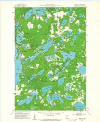
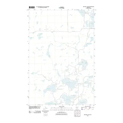
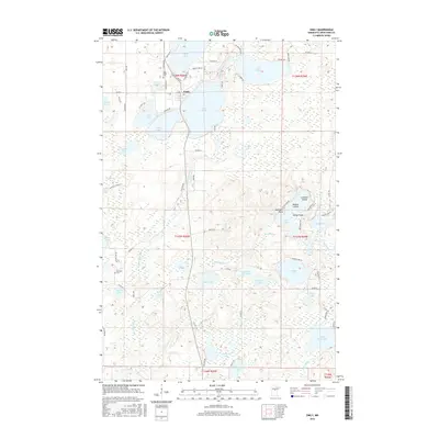
 1970 Mitchell Lake1972 Print · USGSCass and Crow Wing counties are captured here in the early 1970s, showcasing a landscape defined by Northwoods water and state forest land. Genealogists and local historians can trace the corporate limits of Fifty Lakes and Emily or locate family sites near Mitchell Lake and Kego Lake.2 unique versions available
 - 1970 Map of Roosevelt Lake, 1972 Print
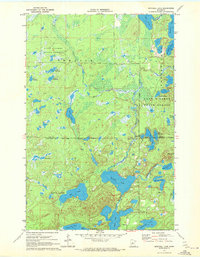
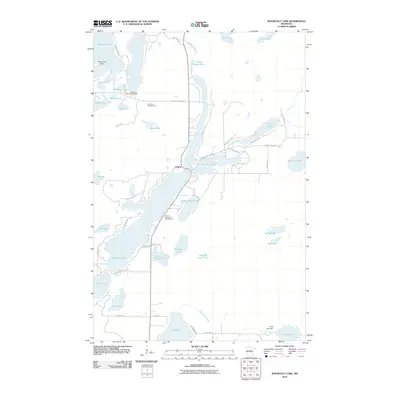
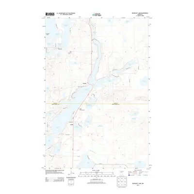
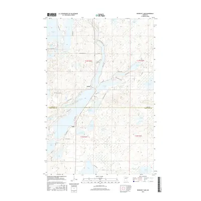
 1970 Roosevelt Lake1972 Print · USGSThe lake country of Cass and Crow Wing counties is shown in the early seventies as a hub of woodland recreation and conservation. Genealogists and local researchers can trace early settlements at Outing and Emily or locate landmarks like the Ranger Station and Plummers Point.2 unique versions available
 - 1973 Map of Emily, 1975 Print
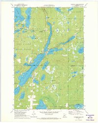
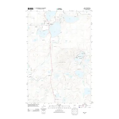
 1973 Emily1975 Print · USGSThe lakeside community of Emily is captured here during the 1970s, surrounded by the deep woods of the Emily State Forest. Researchers can locate family sites at Pine Ridge Cem or trace old landmarks like the Townhall and Emily Lookout Tower.2 unique versions available
 - 1976 Map of Pine River, 1994 Print
 1976 Pine River1994 Print · USGSNorthern Minnesota's lake country is captured here during the mid-seventies, showing the expansion of recreation around Pequot Lakes and Nisswa. Researchers can trace the Burlington Northern rail line and locate forest landmarks within the Paul Bunyan State Forest and Chippewa National Forest.
 - 1994 Map of Aitkin
 1994 Aitkin1994 Print · USGSIn the mid-1990s, the lake country of central Minnesota remained a patchwork of state forests and rail-linked settlements. Researchers can trace the legacy of the Soo Line through towns like McGregor and Aitkin, or explore the vast reaches of the Savanna State Forest and Rice Lake.
 - 2010 Map of Emily, 2010 Print
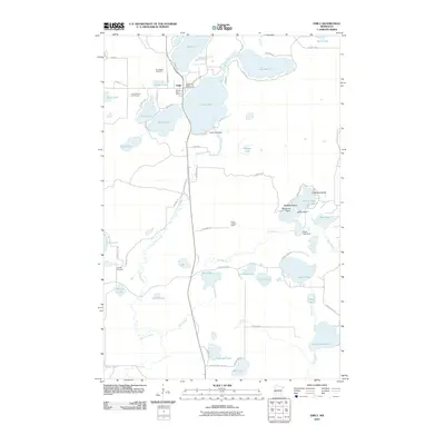 2010 Emily2010 Print · USGSCovers Emily, including Crow Wing County, United States, and other nearby areas
 - 2010 Map of Cross Lake, 2010 Print
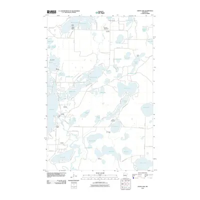 2010 Cross Lake2010 Print · USGSCovers Emily, including Fifty Lakes, Manhattan Beach, and other nearby areas
 - 2010 Map of Roosevelt Lake, 2010 Print
 2010 Roosevelt Lake2010 Print · USGSCovers Emily, including Outing, Cass County, and other nearby areas
 - 2010 Map of Mitchell Lake, 2010 Print
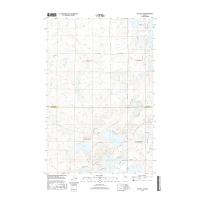
 2010 Mitchell Lake2010 Print · USGSCovers Emily, including Fifty Lakes, Cass County, and other nearby areas
 - 2013 Map of Mitchell Lake, 2013 Print
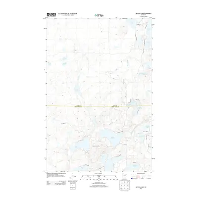 2013 Mitchell Lake2013 Print · USGSCovers Emily, including Fifty Lakes, Cass County, and other nearby areas
 - 2013 Map of Cross Lake, 2013 Print
 2013 Cross Lake2013 Print · USGSCovers Emily, including Fifty Lakes, Manhattan Beach, and other nearby areas
 - 2013 Map of Emily, 2013 Print
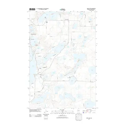
 2013 Emily2013 Print · USGSCovers Emily, including Crow Wing County, United States, and other nearby areas
 - 2013 Map of Roosevelt Lake, 2013 Print
 2013 Roosevelt Lake2013 Print · USGSCovers Emily, including Outing, Cass County, and other nearby areas
 - 2016 Map of Roosevelt Lake, 2016 Print
 2016 Roosevelt Lake2016 Print · USGSCovers Emily, including Outing, Cass County, and other nearby areas
 - 2016 Map of Emily, 2016 Print
 2016 Emily2016 Print · USGSCovers Emily, including Crow Wing County, United States, and other nearby areas
 - 2016 Map of Mitchell Lake, 2016 Print
 2016 Mitchell Lake2016 Print · USGSCovers Emily, including Fifty Lakes, Cass County, and other nearby areas
Showing maps 1-25 of 34
Top cities near Emily
- Breezy Point historical maps
- Mission historical maps
- Fifty Lakes historical maps
- Wabedo historical maps
- Wolford historical maps
- Inguadona historical maps
See more
Frequently asked questions
- What are the different types of historical maps available for Emily?
- What is the oldest map of Emily?
- Where can I purchase historical maps of Emily for my home or office?
- Where can I download high-res historical maps of Emily?
- Are there historical topographic maps available for Emily?
- Is there historical aerial imagery available for Emily?
- Where are historical maps of Emily sourced from?