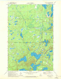
1970 Map of Mitchell Lake
USGS Topo · Published 1972About this map
Fifty Lakes and Emily define the settlement pattern of this lake-heavy region in northern Minnesota, where corporate boundaries often follow the winding shorelines of major water bodies. The landscape is dominated by the Land O' Lakes State Forest, with an intricate network of lakes including Mitchell Lake, Washburn Lake, and the connected waters of West Fox Lake and East Fox Lake. A notable geographic feature, the Narrows, sits between the larger basins, indicating the localized navigation and crossing points important to residents and visitors at the time. Hydrographic details show Daggett Brook and Hay Creek threading through the forest, connecting smaller ponds like Pistol Lake and Wolf Lake. The presence of a Gravel Pit near the northern boundary of the forest suggests the local materials used for maintaining the early road systems that weave between these recreational and residential communities.
Find a feature on this map
38 named features on this map. Tap any name to fly to it.
Don’t see what you’re looking for? This feature index may not catch every label — zoom into the map to look around manually.
Map Details
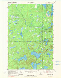
Editions of this 1970 Mitchell Lake Map
2 editions found
Other maps of this area

1913 · Cuyuna
USGS Topo · 1:62,500

1915 · Cuyuna
USGS Topo · 1:62,500

1953 · Duluth
USGS Topo · 1:250,000

1953 · Brainerd
USGS Topo · 1:250,000

1957 · Brainerd
USGS Topo · 1:250,000

1958 · Brainerd
USGS Topo · 1:250,000

1958 · Duluth
USGS Topo · 1:250,000

1959 · Lower Whitefish Lake
USGS Topo · 1:24,000

1960 · Cross Lake
USGS Topo · 1:24,000

1965 · Brainerd
USGS Topo · 1:250,000