Old Maps of Garrison, Minnesota for Hiking & Exploration
Hike through history with 11 historic maps of Garrison. Explore old trails, ghost towns, and forgotten backroads — perfect for outdoor adventurers and local explorers.
- Rediscover forgotten places: Map out old mining camps, roads, and footpaths that no longer exist on modern maps.
- Layer with modern tools: Combine with LiDAR or satellite views to plan hikes through historical terrain.
- Made for exploration: Popular among hikers, overlanders, and local history lovers.
Use these maps to find adventure and explore the hidden past of Garrison.
Garrison, MN maps
(11)- 1912 Map of Deerwood, 1963 Print
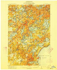
 1912 Deerwood1963 Print · USGSIn the decade before the region's full industrialization, this survey captures the lake-country settlements of Deerwood and Crosby just as the Northern Pacific railroad was driving local growth. Genealogists can locate dozens of early district schools and local landmarks like Doris Church and Katrine School.2 unique versions available
 - 1914 Map of Deerwood
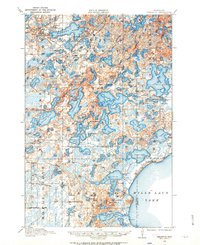
 1914 Deerwood1914 Print · USGSCrow Wing and Aitkin counties are captured here just before the First World War, showing the growth of iron range towns and lakeside settlements. Genealogists and researchers can trace early rural life through nearly twenty numbered schoolhouses, the Dorris Church, and railroad stops at Crosby and Ironton.3 unique versions available
 - 1953 Map of Duluth, 1964 Print
 1953 Duluth1964 Print · USGSNortheastern Minnesota and northwestern Wisconsin are shown here during a period of industrial maturity and expanding conservation. Genealogists and historians can trace rail-connected towns like McGrath and Wahkon, or locate heritage sites within the Fond du Lac Indian Reservation.2 unique versions available
 - 1958 Map of Duluth
 1958 Duluth1958 Print · USGSNortheastern Minnesota and the Wisconsin borderlands are shown in detail during the late 1950s, centered on the bustling rail yards and ports of Duluth. You can trace the historic routes of the Soo Line and Duluth Missabe & Iron Range through small towns like McGrath, Bruno, and Wrenshall.
 - 1973 Map of Garrison, 1976 Print
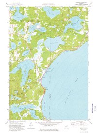 1973 Garrison1976 Print · USGSThe northwestern shores of Mille Lacs Lake come alive in the 1970s, showcasing a landscape defined by lakeside recreation and small-town infrastructure. Local historians can trace the development of Garrison and Cutler, or locate landmarks like the Drive-in Theater and Pine Lake Chapel.
 - 1985 Map of Mille Lacs Lake
 1985 Mille Lacs Lake1985 Print · USGSMille Lacs Lake and its surrounding settlements are shown in the mid-1980s as a hub of lake-shore recreation and rail commerce. Researchers can trace historic transport lines like the Soo Line and locate communities such as Wahkon and Garrison.2 unique versions available
 - 2010 Map of Garrison, 2010 Print
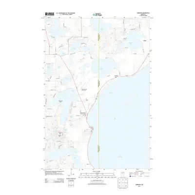
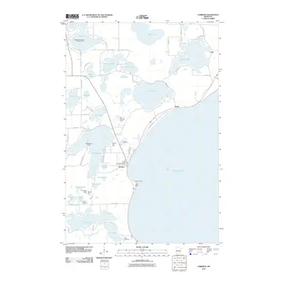 2010 Garrison2010 Print · USGSCovers Garrison, including Cutler, Garrison Trailer Park, and other nearby areas
 - 2013 Map of Garrison, 2013 Print
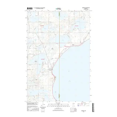
 2013 Garrison2013 Print · USGSCovers Garrison, including Cutler, Garrison Trailer Park, and other nearby areas
 - 2016 Map of Garrison, 2016 Print
 2016 Garrison2016 Print · USGSCovers Garrison, including Cutler, Garrison Trailer Park, and other nearby areas
 - 2019 Map of Garrison, 2019 Print
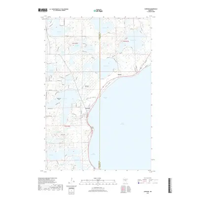 2019 Garrison2019 Print · USGSCovers Garrison, including Cutler, Garrison Trailer Park, and other nearby areas
 - 2022 Map of Garrison, 2022 Print
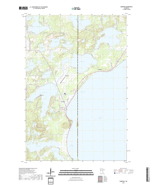 2022 Garrison2022 Print · USGSThe western shores of Mille Lacs Lake come into focus in this contemporary survey of Crow Wing County. Researchers can trace the layout of Garrison and Nichols, or locate local landmarks like the Garrison Cem and Mille Lacs Lake Airport.
End of results
Showing maps 1-11 of 11
Top cities near Garrison
- Crosby historical maps
- Aitkin historical maps
- Bay Lake historical maps
- Onamia historical maps
- Deerwood historical maps
- Ironton historical maps
See more
Top neighborhoods of Garrison
Frequently asked questions
- What are the different types of historical maps available for Garrison?
- What is the oldest map of Garrison?
- Where can I purchase historical maps of Garrison for my home or office?
- Where can I download high-res historical maps of Garrison?
- Are there historical topographic maps available for Garrison?
- Is there historical aerial imagery available for Garrison?
- Where are historical maps of Garrison sourced from?