Old Maps of Apple Valley, Minnesota for Hiking & Exploration
Hike through history with 19 historic maps of Apple Valley. Explore old trails, ghost towns, and forgotten backroads — perfect for outdoor adventurers and local explorers.
- Rediscover forgotten places: Map out old mining camps, roads, and footpaths that no longer exist on modern maps.
- Layer with modern tools: Combine with LiDAR or satellite views to plan hikes through historical terrain.
- Made for exploration: Popular among hikers, overlanders, and local history lovers.
Use these maps to find adventure and explore the hidden past of Apple Valley.
Apple Valley, MN maps
(19)- 1896 Map of St. Paul
 1896 St. Paul1896 Print · USGSSt. Paul and the surrounding river townships are captured in the mid-1890s during a period of massive railroad and urban expansion. Genealogists and historians can trace the early footprints of Mendota, South St. Paul, and St. Anthony Park along with the grounds of Fort Snelling.11 unique versions available
 - 1951 Map of St. Paul SW, 1953 Print
 1951 St. Paul SW1953 Print · USGSThe Minnesota River valley south of the Twin Cities appears in the early fifties as a landscape of rural townships and river wetlands. Genealogists and local historians can trace the foundations of Richfield and Nicols or locate early landmarks like St Johns Cem and Pilot Knob.3 unique versions available
 - 1951 Map of St. Paul, 1959 Print
 1951 St. Paul1959 Print · USGSThe Twin Cities region during the post-war boom shows the rapid growth of St Paul and Minneapolis toward their southern suburbs. Genealogists and historians can trace numerous rural landmarks like School No 73, Roselawn Cemetery, and the St Johns Cem before suburban sprawl fully arrived.2 unique versions available
 - 1953 Map of Saint Paul, 1964 Print
 1953 Saint Paul1964 Print · USGSThe Twin Cities and the Mississippi River valley are captured here at a mid-century turning point. Trace the early growth of Minneapolis and Saint Paul alongside landmarks like Lake Minnetonka and the St Croix River.4 unique versions available
 - 1957 Map of Farmington, 1958 Print
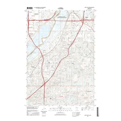
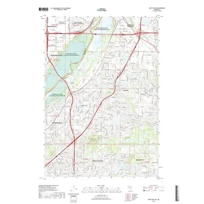
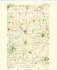 1957 Farmington1958 Print · USGSDakota County in the late fifties shows a landscape of busy rail junctions and transitioning rural schools. You can trace family roots through sites like Christiania Church or locate vanished landmarks like Southport Landing Field and School No 55.2 unique versions available
 - 1959 Map of Saint Paul
 1959 Saint Paul1959 Print · USGSThe Twin Cities and southeastern Minnesota appear here in the late fifties, showing the peak of the rail era and post-war suburban growth. Genealogists can trace family footprints near Lake Minnetonka, the Univ Of Minn Rosemount Research Center, or the growing neighborhoods of Richfield.2 unique versions available
 - 1967 Map of St. Paul SW, 1969 Print
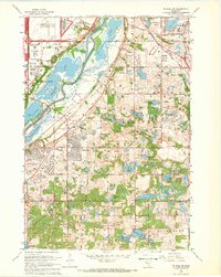 1967 St. Paul SW1969 Print · USGSDakota and Hennepin counties are captured in a moment of suburban transformation during the late sixties. Trace the early development of Bloomington and Burnsville alongside landmarks like Metropolitan Stadium and Fort Snelling National Cemetery.6 unique versions available
 - 1974 Map of Farmington, 1976 Print
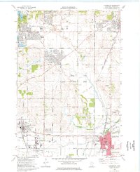 1974 Farmington1976 Print · USGSDakota County was undergoing rapid transformation in the 1970s as suburban residential tracts met the region's long-standing industrial and rail networks. Researchers can trace the layout of early neighborhoods around Parkview School and locate family plots at St Johns Cemetery or St Michaels Cemetery.2 unique versions available
 - 1985 Map of Saint Paul
 1985 Saint Paul1985 Print · USGSThe Twin Cities metropolitan area and its southern suburbs are captured here in the mid-eighties as the urban landscape expanded toward the Minnesota River. Researchers can trace the layout of the Fort Snelling Military Reservation, find local landmarks like St Benedict Church, and study the rail routes of the Soo Line.2 unique versions available
 - 2010 Map of Farmington, 2010 Print
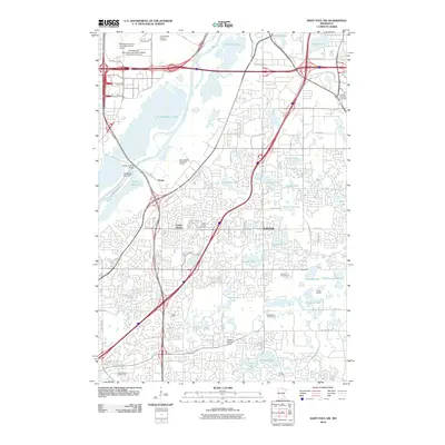
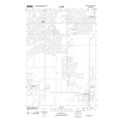 2010 Farmington2010 Print · USGSCovers Apple Valley, including Burnsville, Lakeville, and other nearby areas
 - 2010 Map of Saint Paul SW, 2010 Print
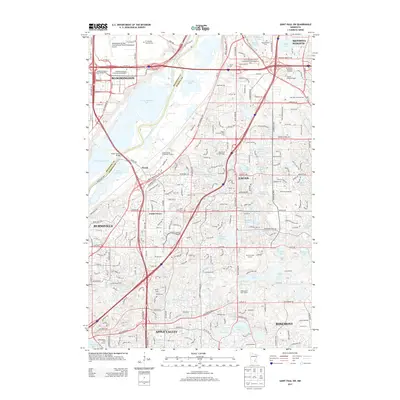
 2010 Saint Paul SW2010 Print · USGSCovers Apple Valley, including Bloomington, Eagan, and other nearby areas
 - 2013 Map of Farmington, 2013 Print
 2013 Farmington2013 Print · USGSCovers Apple Valley, including Burnsville, Lakeville, and other nearby areas
 - 2013 Map of Saint Paul SW, 2013 Print
 2013 Saint Paul SW2013 Print · USGSCovers Apple Valley, including Bloomington, Eagan, and other nearby areas
 - 2016 Map of Farmington, 2016 Print
 2016 Farmington2016 Print · USGSCovers Apple Valley, including Burnsville, Lakeville, and other nearby areas
 - 2016 Map of Saint Paul SW, 2016 Print
 2016 Saint Paul SW2016 Print · USGSCovers Apple Valley, including Bloomington, Eagan, and other nearby areas
 - 2019 Map of Saint Paul SW, 2019 Print
 2019 Saint Paul SW2019 Print · USGSCovers Apple Valley, including Bloomington, Eagan, and other nearby areas
 - 2019 Map of Farmington, 2019 Print
 2019 Farmington2019 Print · USGSCovers Apple Valley, including Burnsville, Lakeville, and other nearby areas
 - 2022 Map of Farmington, 2022 Print
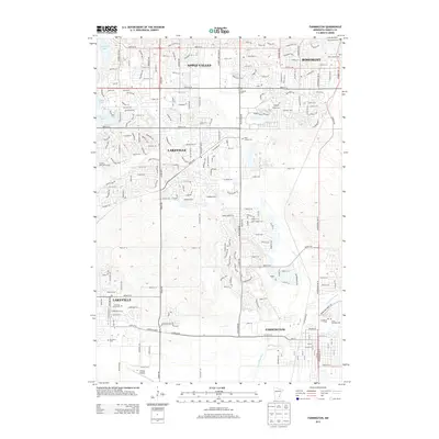
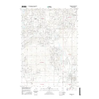
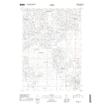
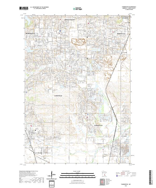 2022 Farmington2022 Print · USGSFarmington and the Dakota County plains are shown here in the early 2020s, a period of established suburban growth and preserved river corridors. Genealogists and local researchers can locate Saint Michaels Cemetery, Corinthian Cemetery, and the paths of the Union Pacific RR.
 - 2022 Map of Saint Paul SW, 2022 Print
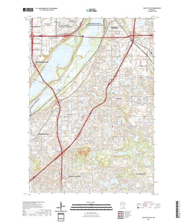 2022 Saint Paul SW2022 Print · USGSThe south-central Twin Cities suburbs are captured here at a moment of significant growth and conservation in the early 2020s. Researchers can locate family sites near Trinity Lone Oak Cem or trace the wetland borders of the Minnesota Valley National Wildlife Refuge.
End of results
Showing maps 1-19 of 19
Top cities near Apple Valley
- Minneapolis historical maps
- Saint Paul historical maps
- Bloomington historical maps
- Woodbury historical maps
- Eagan historical maps
- Eden Prairie historical maps
See more
Top neighborhoods of Apple Valley
- Cedar Knolls historical maps
- Galaxie Commons historical maps
- Redwood historical maps
- Old Town historical maps
- Scott Highlands historical maps
Frequently asked questions
- What are the different types of historical maps available for Apple Valley?
- What is the oldest map of Apple Valley?
- Where can I purchase historical maps of Apple Valley for my home or office?
- Where can I download high-res historical maps of Apple Valley?
- Are there historical topographic maps available for Apple Valley?
- Is there historical aerial imagery available for Apple Valley?
- Where are historical maps of Apple Valley sourced from?