Old Maps of Blue Earth, Minnesota for Academic Research
Study the evolution of Blue Earth with 21 high-resolution historic maps. Whether you're teaching, researching, or modeling changes in land use, these maps provide essential visual documentation of urban, environmental, and geographic change.
- Analyze long-term change: Track patterns in development, transportation, and natural features.
- Ideal for environmental or urban studies: Support academic projects with primary historical map data.
- Use in the classroom or lab: Educators and researchers rely on these maps to bring historical context to life.
These maps are a powerful tool for teaching, research, and visualizing how Blue Earth has changed over the decades.
Blue Earth, MN maps
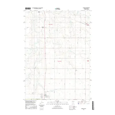
(21)- 1954 Map of Fairmont, 1967 Print
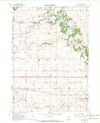
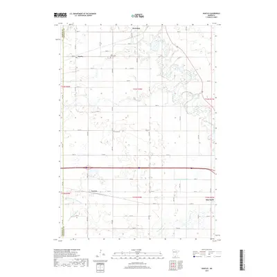
 1954 Fairmont1967 Print · USGSThe prairie landscape of southern Minnesota and northern Iowa comes alive in this mid-century survey of the Coteau des Prairies. Genealogists and historians can trace the rail-connected growth of Fairmont and Blue Earth or locate family roots near St Kilian Ch and Union Slough National Wildlife Refuge.3 unique versions available
 - 1958 Map of Fairmont
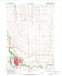
 1958 Fairmont1958 Print · USGSThe borderlands of southern Minnesota and northern Iowa come alive in the mid-1950s, showing a landscape defined by glacial lakes and rail-line commerce. Researchers can trace historic landmarks like Lakeside Laboratory, Gridley Station, and the Bancroft Wildlife Refuge across the prairie.
 - 1967 Map of Elmore, 1968 Print
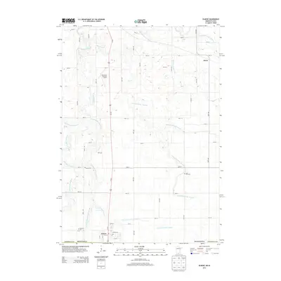
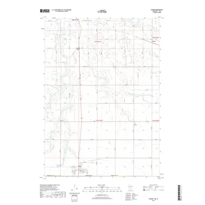
 1967 Elmore1968 Print · USGSFaribault County and the Iowa borderlands come to life in the late sixties as agricultural patterns and rail lines define the prairie. Genealogists and local historians can trace rural landmarks like St Johns Ch, Dobson Cem, and the old Marna station site.
 - 1967 Map of Huntley, 1969 Print
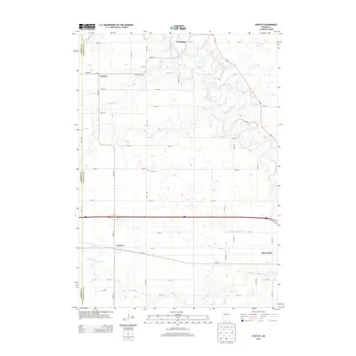
 1967 Huntley1969 Print · USGSFaribault County is captured in the late sixties as a thriving rail and agricultural hub at the crossroads of two major Midwestern lines. Researchers can trace family roots at West Verona Cem or follow the routes of the Chicago and North Western through Guckeen.2 unique versions available
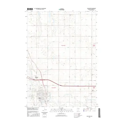
 - 1967 Map of Blue Earth, 1970 Print
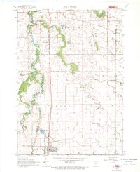
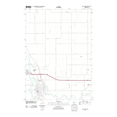
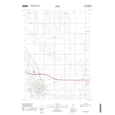
 1967 Blue Earth1970 Print · USGSBlue Earth and the surrounding Faribault County prairie are shown in the late sixties as the local infrastructure began to modernize. Researchers can locate family roots at Riverside Cemetery, trace the old Chicago and North Western rail line, or find local landmarks like the Courthouse and Fairground.2 unique versions available
 - 1985 Map of Fairmont, 1991 Print
 1985 Fairmont1991 Print · USGSSouthern Minnesota in the mid-eighties shows a robust network of prairie towns and rail-connected agricultural hubs. Genealogists can trace family footprints across Rolling Green and Manyaska or locate old homesteads near Fox Lake and the Chicago & North Western line.
 - 2010 Map of Elmore, 2010 Print
 2010 Elmore2010 Print · USGSCovers Blue Earth, including Elmore, Marna, and other nearby areas
 - 2010 Map of Huntley, 2010 Print
 2010 Huntley2010 Print · USGSCovers Blue Earth, including Winnebago, Huntley, and other nearby areas
 - 2010 Map of Blue Earth, 2010 Print
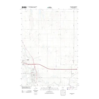
 2010 Blue Earth2010 Print · USGSCovers Blue Earth, including Riverside Heights, Faribault County, and other nearby areas
 - 2013 Map of Huntley, 2013 Print
 2013 Huntley2013 Print · USGSCovers Blue Earth, including Winnebago, Huntley, and other nearby areas
 - 2013 Map of Blue Earth, 2013 Print
 2013 Blue Earth2013 Print · USGSCovers Blue Earth, including Riverside Heights, Faribault County, and other nearby areas
 - 2013 Map of Elmore, 2013 Print
 2013 Elmore2013 Print · USGSCovers Blue Earth, including Elmore, Marna, and other nearby areas
 - 2016 Map of Elmore, 2016 Print
 2016 Elmore2016 Print · USGSCovers Blue Earth, including Elmore, Marna, and other nearby areas
 - 2016 Map of Blue Earth, 2016 Print
 2016 Blue Earth2016 Print · USGSCovers Blue Earth, including Riverside Heights, Faribault County, and other nearby areas
 - 2016 Map of Huntley, 2016 Print
 2016 Huntley2016 Print · USGSCovers Blue Earth, including Winnebago, Huntley, and other nearby areas
 - 2019 Map of Elmore, 2019 Print
 2019 Elmore2019 Print · USGSCovers Blue Earth, including Elmore, Marna, and other nearby areas
 - 2019 Map of Blue Earth, 2019 Print
 2019 Blue Earth2019 Print · USGSCovers Blue Earth, including Riverside Heights, Faribault County, and other nearby areas
 - 2019 Map of Huntley, 2019 Print
 2019 Huntley2019 Print · USGSCovers Blue Earth, including Winnebago, Huntley, and other nearby areas
 - 2022 Map of Elmore, 2022 Print
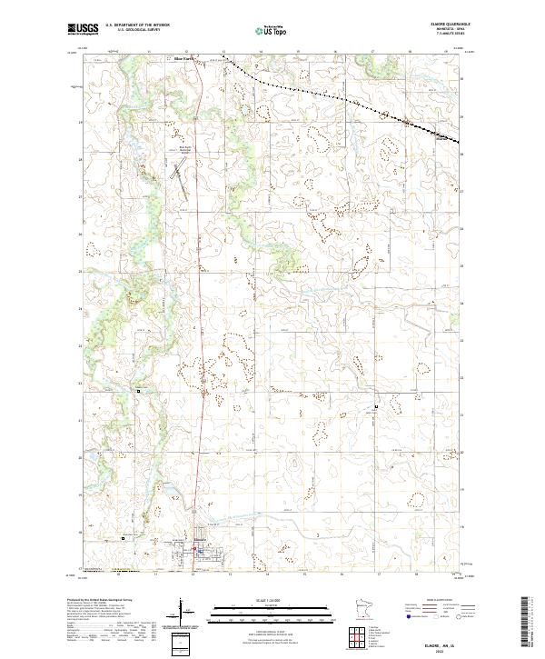 2022 Elmore2022 Print · USGSElmore and the southern reaches of Faribault County are captured here at the Minnesota-Iowa border in the early 2020s. Genealogists and local historians can trace the paths of the Middle Br Blue Earth River past Riverview Cem and the quiet grounds of Saint John's Cem.
 - 2022 Map of Huntley, 2022 Print
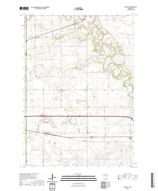 2022 Huntley2022 Print · USGSFaribault County’s agricultural heartland is documented here in the early 2020s, showing the enduring grid of section roads and drainage networks. Genealogists and local historians can trace family sites near West Verona Cem or explore the rural hubs of Huntley and Guckeen.
 - 2022 Map of Blue Earth, 2022 Print
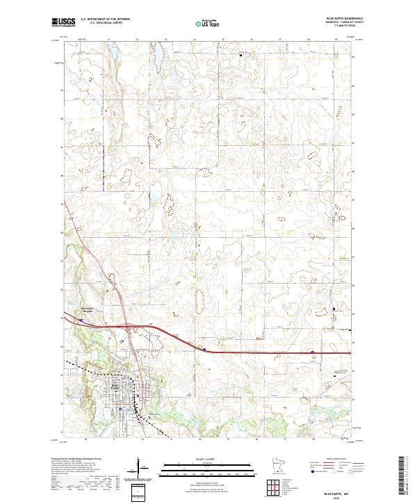 2022 Blue Earth2022 Print · USGSThe Faribault County seat and its surrounding townships are shown here in the early twenty-first century, centered on the river confluence. Genealogists can locate family sites at Riverside Cem, Immanuel Cem, and the Faribault County Courthouse.
End of results
Showing maps 1-21 of 21
Top cities near Blue Earth
- Winnebago historical maps
- Elmore historical maps
- Frost historical maps
- Delavan historical maps
- Easton historical maps
- Rake historical maps
See more
Frequently asked questions
- What are the different types of historical maps available for Blue Earth?
- What is the oldest map of Blue Earth?
- Where can I purchase historical maps of Blue Earth for my home or office?
- Where can I download high-res historical maps of Blue Earth?
- Are there historical topographic maps available for Blue Earth?
- Is there historical aerial imagery available for Blue Earth?
- Where are historical maps of Blue Earth sourced from?