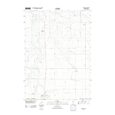
2013 Map of Elmore
USGS Topo · Published 2013About this map
Elmore sits at the southern edge of Faribault County, serving as a key border settlement along the North-South corridor of Us-169. The landscape is a testament to agricultural engineering, defined by an intricate network of drainage systems like County Ditch Number Thirtyone and Judicial Ditch Number Thirteen that manage the low-lying prairie land. These man-made channels intersect with the natural winding courses of the Blue Earth River and its various branches, including the Middle Br Blue Earth River and W Br Blue Earth River. Local infrastructure is anchored by the Blue Earth Municipal Airport to the north and the village of Marna. For family historians, the map preserves the locations of several burial grounds, including Riverview Cem near the town center and the more isolated Saint Johns Cem and Dobson Cem tucked into the rural sections.
Find a feature on this map
56 named features on this map. Tap any name to fly to it.
Don’t see what you’re looking for? This feature index may not catch every label — zoom into the map to look around manually.
Map Details
Editions of this 2013 Elmore Map
This is the sole edition of this map. No revisions or reprints were ever made.
Other maps of this area

1954 · Fairmont
USGS Topo · 1:250,000

1954 · Mason City
USGS Topo · 1:250,000
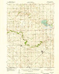
1955 · Bricelyn
USGS Topo · 1:62,500

1957 · Mason City
USGS Topo · 1:250,000

1958 · Mason City
USGS Topo · 1:250,000

1958 · Fairmont
USGS Topo · 1:250,000
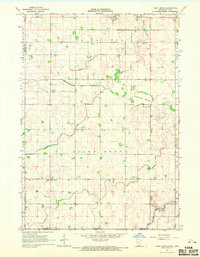
1967 · Pilot Grove
USGS Topo · 1:24,000
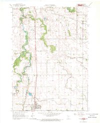
1967 · Elmore
USGS Topo · 1:24,000
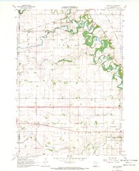
1967 · Huntley
USGS Topo · 1:24,000
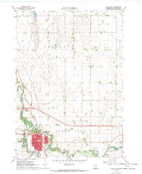
1967 · Blue Earth
USGS Topo · 1:24,000