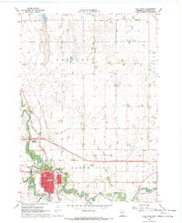
1967 Map of Blue Earth
USGS Topo · Published 1970About this map
Blue Earth sits at the confluence of the Blue Earth River and its East Branch, serving as a focal point for Faribault County during the late 1960s. The town's grid is anchored by civic and social landmarks including the Courthouse, Putnam Park, and the Fairground, while the northern outskirts see the early development of Riverside Heights. The landscape is defined by an extensive network of managed waterways like Judicial Ditch No 1 and Judicial Ditch No 2, reflecting a highly engineered agricultural environment. Transportation is dominated by the Chicago and North Western railroad and a significant red-lined proposed location for a new highway alignment cutting through the township. For genealogists, the map provides precise locations for several burial grounds, including Riverside Cemetery, King Cem, and Calvary Cem, along with local institutions such as Immanuel Ch and the SS Peter & Paul Sch.
Find a feature on this map
31 named features on this map. Tap any name to fly to it.
Don’t see what you’re looking for? This feature index may not catch every label — zoom into the map to look around manually.
Map Details
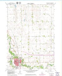
Editions of this 1967 Blue Earth Map
2 editions found
Other maps of this area

1954 · Fairmont
USGS Topo · 1:250,000

1954 · Mason City
USGS Topo · 1:250,000

1955 · Bricelyn
USGS Topo · 1:62,500

1957 · Mason City
USGS Topo · 1:250,000

1958 · Mason City
USGS Topo · 1:250,000

1958 · Fairmont
USGS Topo · 1:250,000

1967 · Pilot Grove
USGS Topo · 1:24,000

1967 · Winnebago
USGS Topo · 1:24,000

1967 · Elmore
USGS Topo · 1:24,000

1967 · Huntley
USGS Topo · 1:24,000