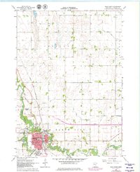
1967 Map of Blue Earth
USGS Topo · Published 1979About this map
Blue Earth serves as the focal point of this Faribault County survey, situated at the confluence where the Blue Earth River meets its East Branch. The town's civic heart is anchored by the Courthouse and SS Peter & Paul Sch, while the surrounding landscape is defined by an intricate network of agricultural drainage systems including Judicial Ditch No 2 and Judicial Ditch No 17.
Find a feature on this map
36 named features on this map. Tap any name to fly to it.
Don’t see what you’re looking for? This feature index may not catch every label — zoom into the map to look around manually.
Map Details
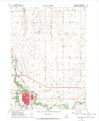
Editions of this 1967 Blue Earth Map
2 editions found
Other maps of this area

1954 · Fairmont
USGS Topo · 1:250,000

1954 · Mason City
USGS Topo · 1:250,000

1955 · Bricelyn
USGS Topo · 1:62,500

1957 · Mason City
USGS Topo · 1:250,000

1958 · Mason City
USGS Topo · 1:250,000

1958 · Fairmont
USGS Topo · 1:250,000

1967 · Pilot Grove
USGS Topo · 1:24,000

1967 · Winnebago
USGS Topo · 1:24,000

1967 · Elmore
USGS Topo · 1:24,000

1967 · Huntley
USGS Topo · 1:24,000