Old Maps of Fillmore County, Minnesota for Hiking & Exploration
Hike through history with 140 historic maps of Fillmore County. Explore old trails, ghost towns, and forgotten backroads — perfect for outdoor adventurers and local explorers.
- Rediscover forgotten places: Map out old mining camps, roads, and footpaths that no longer exist on modern maps.
- Layer with modern tools: Combine with LiDAR or satellite views to plan hikes through historical terrain.
- Made for exploration: Popular among hikers, overlanders, and local history lovers.
Use these maps to find adventure and explore the hidden past of Fillmore County.
Fillmore County, MN maps
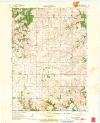
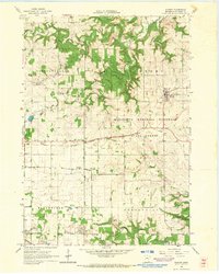
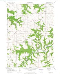
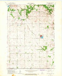
(140)- 1954 Map of Chatfield, 1956 Print
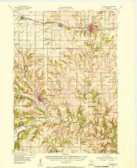 1954 Chatfield1956 Print · USGSSoutheastern Minnesota's river valleys and rail towns are captured here in the mid-1950s, showing the region's transition from a rural schoolhouse network to modern townships. Genealogists can locate family-named landmarks like Loughrey Sch or Casper Sch and early church sites such as Root Prairie Ch.2 unique versions available
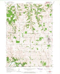
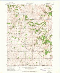
 - 1954 Map of Lewiston, 1956 Print
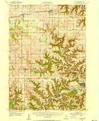 1954 Lewiston1956 Print · USGSSoutheast Minnesota’s transition from prairie to deep river coulees is captured here in the mid-1950s. Genealogists can locate dozens of rural landmarks, from Lodahl School and Jenkins School to the Brethren Church and the Fish Hatchery near Peterson.2 unique versions available
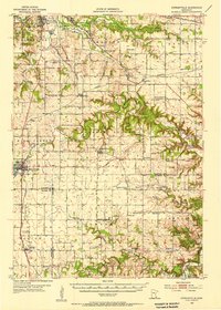
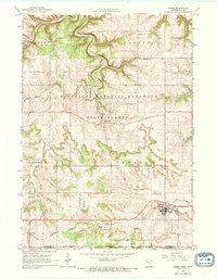
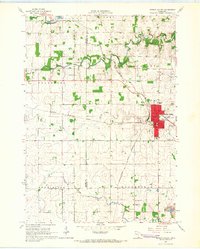
 - 1954 Map of Mason City, 1967 Print
 1954 Mason City1967 Print · USGSSouthern Minnesota and northern Iowa are shown here at the height of the mid-century rail era, centered on the regional hubs of Mason City and Rochester. Researchers can trace the vanished paths of the Chicago Great Western and find local landmarks like Pilot Knob and Bear Lake.2 unique versions available
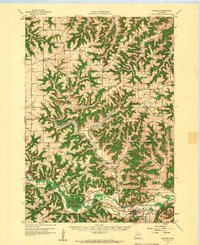
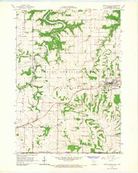
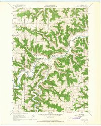
 - 1955 Map of Stewartville, 1956 Print
 1955 Stewartville1956 Print · USGSSouthern Minnesota's farming country and river valleys are shown in the mid-fifties as rural life revolved around local rail depots and school districts. Researchers can find numerous country schools like Little Red Sch and St Bridget Sch, plus family-named cemeteries such as Holy Redeemer Cem and Jerusalem Cem.2 unique versions available
 - 1957 Map of Mason City
 1957 Mason City1957 Print · USGSThe Minnesota-Iowa border region comes alive in this mid-century survey, from the industrial plants of Mason City to the medical hub of Rochester. Researchers can trace the rail-and-river economy through the Chicago Great Western Railway and the Shell Rock River.
 - 1958 Map of Mason City
 1958 Mason City1958 Print · USGSSouthern Minnesota and northern Iowa are shown during the mid-fifties when railroads still anchored the regional economy. Genealogists and historians can trace the intricate rail networks of the Illinois Central and find local landmarks in Mason City, Albert Lea, and Austin.
 - 1958 Map of Houston, 1959 Print
 1958 Houston1959 Print · USGSSoutheast Minnesota in the late fifties shows a landscape of deep valleys and high ridges centered on Houston. Genealogists can trace rural life through numerous landmarks like Vinegar Hill Sch, St Patricks Cem Ch, and the Milwaukee St Paul and Pacific rail line.2 unique versions available
 - 1958 Map of La Crosse, 1979 Print
 1958 La Crosse1979 Print · USGSThe Driftless Area of Wisconsin and Iowa is captured here during the late seventies, showing the intricate river valleys and ridge-top settlements. Genealogists and historians can trace the rail corridors of the Soo Line or locate landmarks like Grandad Bluff and Effigy Mounds National Monument.2 unique versions available
 - 1961 Map of La Crosse
 1961 La Crosse1961 Print · USGSThe Driftless Area at the start of the 1960s reveals a complex network of river towns and rail lines along the Mississippi River. Genealogists and historians can trace old settlements like New Amsterdam and Wyattville or locate major landmarks like Camp McCoy Military Reservation and Effigy Mounds National Monument.
 - 1965 Map of La Crosse
 1965 La Crosse1965 Print · USGSThe Driftless Area and the Upper Mississippi valley are captured here during a period of steady mid-century growth. Researchers can trace the rail lines of the Chicago and North Western or locate riverfront sites like Effigy Mounds National Monument and the Camp McCoy Military Reservation.
 - 1965 Map of Greenleafton, 1966 Print
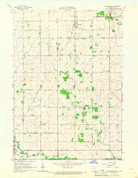
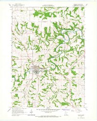
 1965 Greenleafton1966 Print · USGSAcross the Fillmore County hills in the 1960s, this survey traces the rural settlements of Greenleafton and Bristol along the Minnesota-Iowa border. Researchers can locate numerous family-history sites like St Liquori Cem, Saetersdal Ch, and the many Strip Mines near the South Branch Root River.2 unique versions available
 - 1965 Map of Harmony, 1966 Print
 1965 Harmony1966 Print · USGSThe Minnesota-Iowa borderlands near Harmony are shown in the mid-1960s, a time when rail and river still defined the local geography. Researchers can trace the Milwaukee Road railroad or locate family burial sites at Rice Cem and Old Big Spring Cem.2 unique versions available
 - 1965 Map of Mabel, 1966 Print
 1965 Mabel1966 Print · USGSThe Minnesota-Iowa border comes alive in the mid-1960s, showing the intersection of rail transport and forest conservation. Genealogists and historians can trace the Milwaukee St Paul and Pacific railroad through Mabel and find remote sites like Scheie Ch or Prosper Cem.
 - 1965 Map of Spring Grove, 1966 Print
 1965 Spring Grove1966 Print · USGSSoutheastern Minnesota's ridge-and-valley landscape is preserved here during the mid-sixties, showing the rural communities of Houston County. Trace family roots at St Marys Cem or Trinity Cem, and locate landmarks like Sylling Landing Field and the rail stop at Newhouse.
 - 1965 Map of Wykoff, 1966 Print
 1965 Wykoff1966 Print · USGSWykoff and the surrounding Fillmore County townships appear here in the mid-sixties, caught between their railroad heritage and the deep karst geography of the Root River valley. Researchers can pinpoint numerous family landmarks, from the Bateman Sch to local burial sites like Lone Oak Cem and St Ignatius Cem.2 unique versions available
 - 1965 Map of Canton, 1966 Print
 1965 Canton1966 Print · USGSSoutheast Minnesota near the Iowa border is captured in the mid-sixties, showing a landscape defined by the South Fork Root River and its rail-linked villages. Researchers can trace the Chicago Milwaukee St Paul and Pacific tracks through Canton and find family-named sites like Henrytown and Scotland Cem.
 - 1965 Map of Spring Valley, 1966 Print
 1965 Spring Valley1966 Print · USGSSpring Valley and the surrounding townships in the mid-1960s reveal a landscape shaped by a major railroad junction and rural industry. Researchers can trace historic family burial sites like Frankford Cem and Bloomfield Cem or locate old infrastructure like the Townhall.
 - 1965 Map of Yucatan, 1966 Print
 1965 Yucatan1966 Print · USGSSoutheastern Minnesota’s bluff country is captured here in the mid-sixties, where the South Fork Root River winds between high ridges. Researchers can trace historic cemeteries and community centers like the Oak Ridge Ch Cem, Townhall, and Riceford settlement.
 - 1965 Map of Bratsberg, 1966 Print
 1965 Bratsberg1966 Print · USGSFillmore County, Minnesota, is shown here in the mid-1960s, featuring the rugged coulees and ridges between the Root River and the state forest. Genealogists can locate family landmarks like Kopperud Cem, Highland Prairie Ch, and rural schoolhouses such as School No 498.
 - 1965 Map of Ostrander, 1966 Print
 1965 Ostrander1966 Print · USGSThe borderlands of Fillmore County and Iowa are captured here in the mid-sixties, dominated by rail lines and winding river branches. Researchers can pinpoint early landmarks like Bloomfield Cem, the Ostrander rail corridor, and various Quarry sites.
 - 1965 Map of Lanesboro, 1967 Print
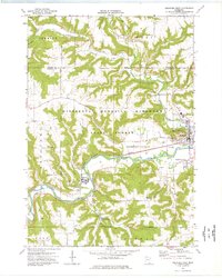
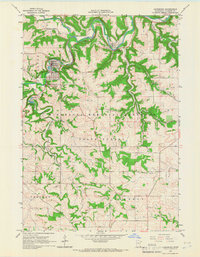 1965 Lanesboro1967 Print · USGSFillmore County’s river valleys and blufflands are captured in the mid-sixties as the rails still follow the water. Genealogists and hikers can trace Lanesboro, the rural Elstad Ch, and the winding Gribben Valley.2 unique versions available
 - 1965 Map of Fountain, 1967 Print
 1965 Fountain1967 Print · USGSFillmore County was undergoing a period of landscape preservation in the mid-sixties as forested bluffs were set aside for conservation. Researchers can trace the rail lines of the Chicago Milwaukee St Paul and Pacific or locate local burials at Winslow Cem and Carimona Cem.2 unique versions available
 - 1965 Map of Cherry Grove, 1967 Print
 1965 Cherry Grove1967 Print · USGSSouthern Minnesota farmland meets the deep valleys of the Root River in the mid-sixties, just as local strip mines and gravel pits dotted the landscape. Researchers can locate the Chicago Great Western rail line and family landmarks like Bethlehem Cem and Pietenpol Landing Field.
 - 1965 Map of Preston, 1967 Print
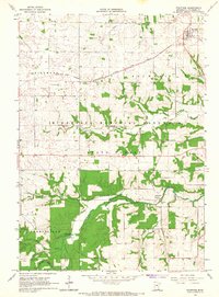
 1965 Preston1967 Print · USGSPreston and the surrounding Fillmore County highlands are captured here in the mid-sixties as the river valleys supported a mix of rail transport and timber. Genealogists can trace family plots at St Columbanus Cem and Crown Hill Cem or locate the old Isinours junction.
 - 1974 Map of Rushford West, 1976 Print
 1974 Rushford West1976 Print · USGSFillmore County river towns and blufflands are captured here in the mid-seventies as the rail-and-river economy shaped the valley. Researchers can trace local lineages through West Grace Cem and Hungerholdt Cem, or locate landmarks like the Fish Hatchery.
Showing maps 1-25 of 140
Top cities of Fillmore County
- Spring Valley historical maps
- Rushford historical maps
- Preston historical maps
- Harmony historical maps
- Rushford Village historical maps
- Lanesboro historical maps
See more
Frequently asked questions
- What are the different types of historical maps available for Fillmore County?
- What is the oldest map of Fillmore County?
- Where can I purchase historical maps of Fillmore County for my home or office?
- Where can I download high-res historical maps of Fillmore County?
- Are there historical topographic maps available for Fillmore County?
- Is there historical aerial imagery available for Fillmore County?
- Where are historical maps of Fillmore County sourced from?