Old Maps of Myrtle, Minnesota for Metal Detecting
Plan your next treasure hunt with 11 historic maps of Myrtle. Find old homesites, ghost towns, trails, and gathering spots that may be lost to time — perfect for identifying promising metal detecting locations.
- Locate forgotten sites: Uncover places like long-lost settlements, abandoned rail lines, or gathering spots.
- Plan better hunts: Use map overlays combined with LiDAR or satellite views to narrow in on historically rich areas.
- Made for detectorists: Thousands of hobbyists use these maps to discover relics, coins, and hidden history.
Use these historic maps to boost your research and find new opportunities beneath the surface of Myrtle.
Myrtle, MN maps
(11)- 1954 Map of Hayward, 1956 Print
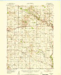 1954 Hayward1956 Print · USGSSouthern Freeborn County and the Iowa borderlands thrive in the mid-1950s as a landscape of railroads and rural parishes. Genealogists can trace family footprints at Trondhjem Ch, Danish Cem, and dozens of district schools like Benesh Sch.2 unique versions available
 - 1954 Map of Mason City, 1967 Print
 1954 Mason City1967 Print · USGSSouthern Minnesota and northern Iowa are shown here at the height of the mid-century rail era, centered on the regional hubs of Mason City and Rochester. Researchers can trace the vanished paths of the Chicago Great Western and find local landmarks like Pilot Knob and Bear Lake.2 unique versions available
 - 1957 Map of Mason City
 1957 Mason City1957 Print · USGSThe Minnesota-Iowa border region comes alive in this mid-century survey, from the industrial plants of Mason City to the medical hub of Rochester. Researchers can trace the rail-and-river economy through the Chicago Great Western Railway and the Shell Rock River.
 - 1958 Map of Mason City
 1958 Mason City1958 Print · USGSSouthern Minnesota and northern Iowa are shown during the mid-fifties when railroads still anchored the regional economy. Genealogists and historians can trace the intricate rail networks of the Illinois Central and find local landmarks in Mason City, Albert Lea, and Austin.
 - 1982 Map of Myrtle, 1983 Print
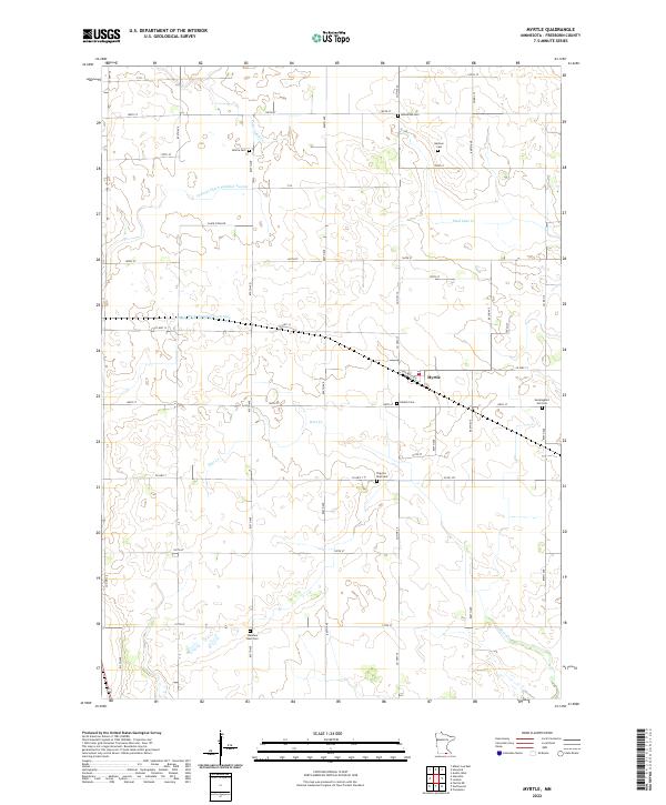
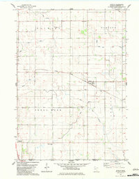 1982 Myrtle1983 Print · USGSThe borderlands of southern Minnesota in the early eighties show a landscape of productive fields and deep-rooted community heritage. Genealogists and historians can trace family ties at the Bohemian and Danish cemeteries near Myrtle or follow the Illinois Central Gulf rail line.
 - 1985 Map of Albert Lea
 1985 Albert Lea1985 Print · USGSSouthern Minnesota's agricultural heartland is documented here in the mid-1980s, showing a landscape defined by industrial rail lines and managed waterways. Trace the historic routes of the Chicago and North Western and explore settlements like Hollandale, New Richland, and Bricelyn.2 unique versions available
 - 2010 Map of Myrtle, 2010 Print
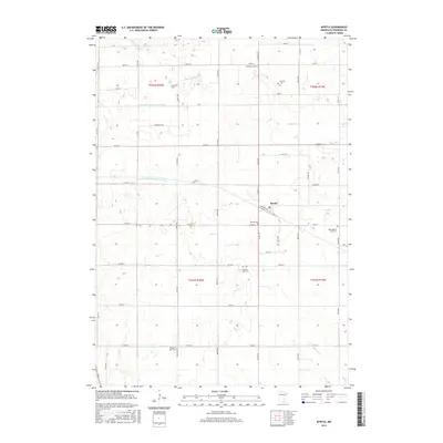
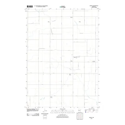 2010 Myrtle2010 Print · USGSCovers Myrtle, including Freeborn County, United States, and other nearby areas
 - 2013 Map of Myrtle, 2013 Print
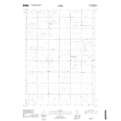
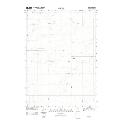 2013 Myrtle2013 Print · USGSCovers Myrtle, including Freeborn County, United States, and other nearby areas
 - 2016 Map of Myrtle, 2016 Print
 2016 Myrtle2016 Print · USGSCovers Myrtle, including Freeborn County, United States, and other nearby areas
 - 2019 Map of Myrtle, 2019 Print
 2019 Myrtle2019 Print · USGSCovers Myrtle, including Freeborn County, United States, and other nearby areas
 - 2022 Map of Myrtle, 2022 Print
 2022 Myrtle2022 Print · USGSThe rural landscape of Freeborn County is revealed here through its intricate drainage networks and ancestral burial sites. Genealogists can trace family footprints at the Bohemian Cem, Danish Cem, or the namesake settlement of Myrtle.
End of results
Showing maps 1-11 of 11
Top cities near Myrtle
- Austin historical maps
- Albert Lea historical maps
- Northwood historical maps
- Lansing historical maps
- Bancroft historical maps
- Clarks Grove historical maps
See more
Frequently asked questions
- What are the different types of historical maps available for Myrtle?
- What is the oldest map of Myrtle?
- Where can I purchase historical maps of Myrtle for my home or office?
- Where can I download high-res historical maps of Myrtle?
- Are there historical topographic maps available for Myrtle?
- Is there historical aerial imagery available for Myrtle?
- Where are historical maps of Myrtle sourced from?