Old Maps of Belvidere Township, Minnesota for Academic Research
Study the evolution of Belvidere Township with 29 high-resolution historic maps. Whether you're teaching, researching, or modeling changes in land use, these maps provide essential visual documentation of urban, environmental, and geographic change.
- Analyze long-term change: Track patterns in development, transportation, and natural features.
- Ideal for environmental or urban studies: Support academic projects with primary historical map data.
- Use in the classroom or lab: Educators and researchers rely on these maps to bring historical context to life.
These maps are a powerful tool for teaching, research, and visualizing how Belvidere Township has changed over the decades.
Belvidere Township, MN maps
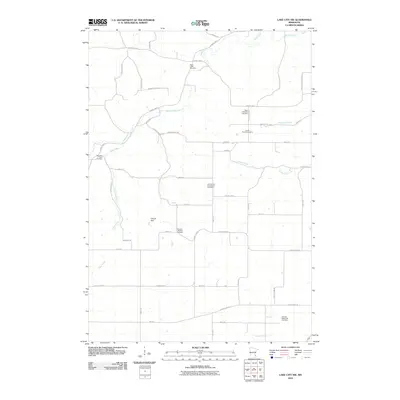
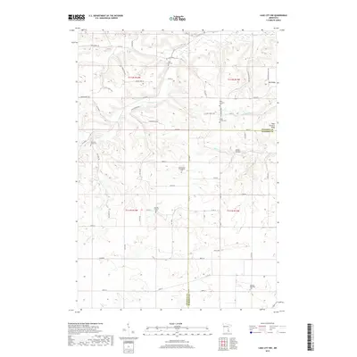
(29)- 1951 Map of Lake City, 1953 Print
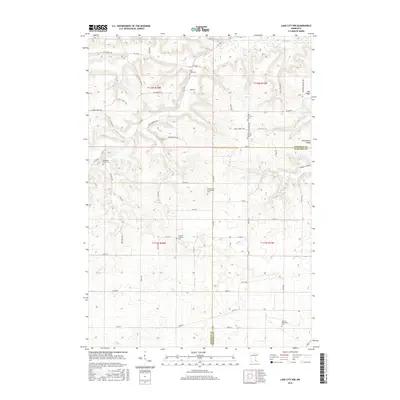
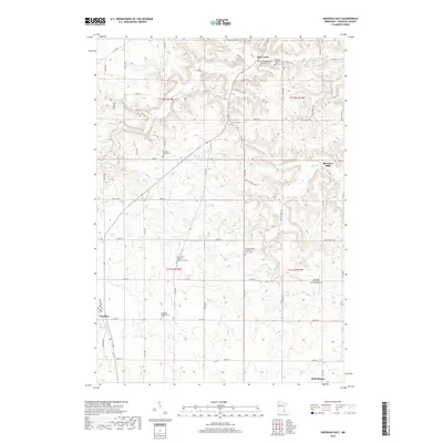
 1951 Lake City1953 Print · USGSLake City and the high bluffs overlooking the Mississippi River appear here at mid-century, documenting a landscape shaped by the rail lines and river valleys of the Upper Midwest. Researchers can locate numerous country landmarks like Sugarloaf Valley Sch, Florence Stn, and the historic Zumbro Falls.3 unique versions available
 - 1953 Map of Saint Paul, 1964 Print
 1953 Saint Paul1964 Print · USGSThe Twin Cities and the Mississippi River valley are captured here at a mid-century turning point. Trace the early growth of Minneapolis and Saint Paul alongside landmarks like Lake Minnetonka and the St Croix River.4 unique versions available
 - 1959 Map of Saint Paul
 1959 Saint Paul1959 Print · USGSThe Twin Cities and southeastern Minnesota appear here in the late fifties, showing the peak of the rail era and post-war suburban growth. Genealogists can trace family footprints near Lake Minnetonka, the Univ Of Minn Rosemount Research Center, or the growing neighborhoods of Richfield.2 unique versions available
 - 1968 Map of Goodhue East, 1970 Print
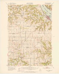
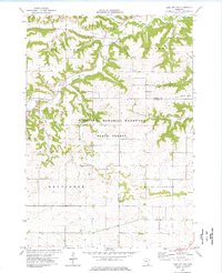
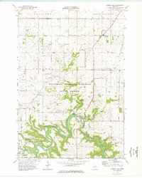
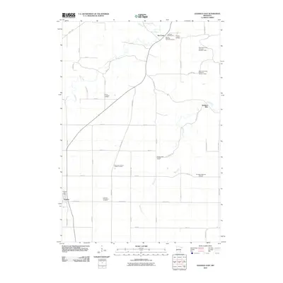
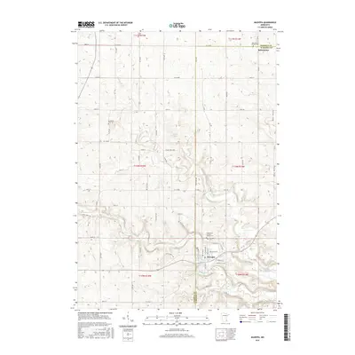
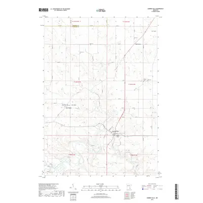
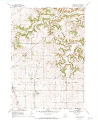 1968 Goodhue East1970 Print · USGSGoodhue and Belvidere townships are captured here in the late sixties, showcasing a landscape defined by forest conservation and agricultural industry. Researchers can trace the Old Railroad Grade and locate local landmarks like St Johns Sch and Belvidere Mills.2 unique versions available
 - 1968 Map of Mazeppa, 1970 Print
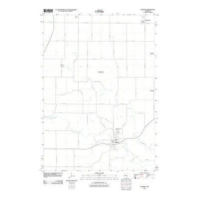
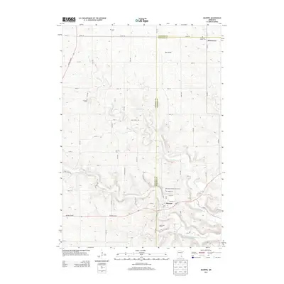
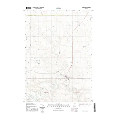
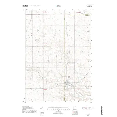
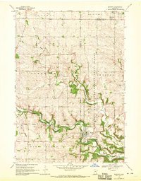 1968 Mazeppa1970 Print · USGSThe river valley at Mazeppa and Bellechester is captured here during the late sixties, showing the transition from rail to road. You can trace the Old Railroad Grade along the North Fork Zumbro River or locate rural landmarks like Grace Ch and the local Townhall.2 unique versions available
 - 1974 Map of Lake City NW, 1976 Print
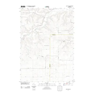
 1974 Lake City NW1976 Print · USGSGoodhue and Wabasha counties appear in the mid-1970s as a landscape of wooded ridges and well-defined farmsteads. Researchers can locate rural community markers like Stameier, St Peters Ch, and the landmark Sugarloaf peak overlooking the creek valleys.
 - 1974 Map of Zumbro Falls, 1976 Print
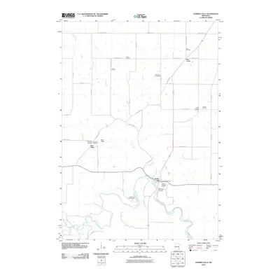
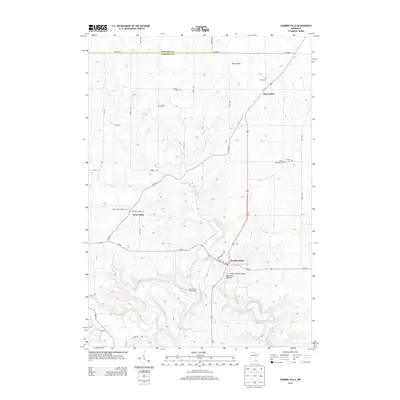
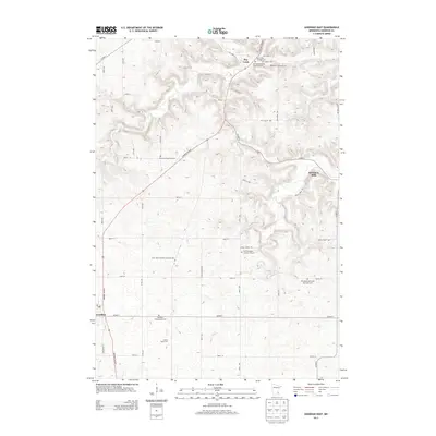
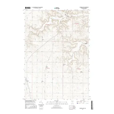
 1974 Zumbro Falls1976 Print · USGSWabasha County's bluff country is captured in the mid-seventies, showing the winding river valley and rural highlands as they appeared before modern expansion. Genealogists can locate several remote burial sites, including Black Cem and Chester Cem, or trace the path of the Old Railroad Grade.
 - 1985 Map of Rochester
 1985 Rochester1985 Print · USGSSoutheastern Minnesota in the mid-eighties centers on the growth of Rochester and its surrounding river valleys. Trace family roots and old rail lines through Mantorville, Pine Island, and along the Mississippi River near Lake Pepin.
 - 1989 Map of Rochester
 1989 Rochester1989 Print · USGSSoutheastern Minnesota and the Mississippi River bluffs are captured here in the late eighties as the region balanced urban growth with its river-and-rail heritage. Researchers can trace the development of Rochester and find smaller rail towns like Kasson, Dodge Center, and Zumbrota.2 unique versions available
 - 2010 Map of Mazeppa, 2010 Print
 2010 Mazeppa2010 Print · USGSCovers Belvidere Township, including Mazeppa, Bellechester, and other nearby areas
 - 2010 Map of Goodhue East, 2010 Print
 2010 Goodhue East2010 Print · USGSCovers Belvidere Township, including Goodhue, Hay Creek, and other nearby areas
 - 2010 Map of Zumbro Falls, 2010 Print
 2010 Zumbro Falls2010 Print · USGSCovers Belvidere Township, including Zumbro Falls, Bear Valley, and other nearby areas
 - 2010 Map of Lake City NW, 2010 Print
 2010 Lake City NW2010 Print · USGSCovers Belvidere Township, including Hay Creek Township, Florence Township, and other nearby areas
 - 2013 Map of Zumbro Falls, 2013 Print
 2013 Zumbro Falls2013 Print · USGSCovers Belvidere Township, including Zumbro Falls, Bear Valley, and other nearby areas
 - 2013 Map of Mazeppa, 2013 Print
 2013 Mazeppa2013 Print · USGSCovers Belvidere Township, including Mazeppa, Bellechester, and other nearby areas
 - 2013 Map of Lake City NW, 2013 Print
 2013 Lake City NW2013 Print · USGSCovers Belvidere Township, including Hay Creek Township, Florence Township, and other nearby areas
 - 2013 Map of Goodhue East, 2013 Print
 2013 Goodhue East2013 Print · USGSCovers Belvidere Township, including Goodhue, Hay Creek, and other nearby areas
 - 2016 Map of Zumbro Falls, 2016 Print
 2016 Zumbro Falls2016 Print · USGSCovers Belvidere Township, including Zumbro Falls, Bear Valley, and other nearby areas
 - 2016 Map of Lake City NW, 2016 Print
 2016 Lake City NW2016 Print · USGSCovers Belvidere Township, including Hay Creek Township, Florence Township, and other nearby areas
 - 2016 Map of Mazeppa, 2016 Print
 2016 Mazeppa2016 Print · USGSCovers Belvidere Township, including Mazeppa, Bellechester, and other nearby areas
 - 2016 Map of Goodhue East, 2016 Print
 2016 Goodhue East2016 Print · USGSCovers Belvidere Township, including Goodhue, Hay Creek, and other nearby areas
 - 2019 Map of Mazeppa, 2019 Print
 2019 Mazeppa2019 Print · USGSCovers Belvidere Township, including Mazeppa, Bellechester, and other nearby areas
 - 2019 Map of Zumbro Falls, 2019 Print
 2019 Zumbro Falls2019 Print · USGSCovers Belvidere Township, including Zumbro Falls, Bear Valley, and other nearby areas
 - 2019 Map of Goodhue East, 2019 Print
 2019 Goodhue East2019 Print · USGSCovers Belvidere Township, including Goodhue, Hay Creek, and other nearby areas
 - 2019 Map of Lake City NW, 2019 Print
 2019 Lake City NW2019 Print · USGSCovers Belvidere Township, including Hay Creek Township, Florence Township, and other nearby areas
Showing maps 1-25 of 29
Top cities near Belvidere Township
- Red Wing historical maps
- Lake City historical maps
- Pine Island historical maps
- Zumbrota historical maps
- Trenton historical maps
- Goodhue historical maps
See more
Top neighborhoods of Belvidere Township
Frequently asked questions
- What are the different types of historical maps available for Belvidere Township?
- What is the oldest map of Belvidere Township?
- Where can I purchase historical maps of Belvidere Township for my home or office?
- Where can I download high-res historical maps of Belvidere Township?
- Are there historical topographic maps available for Belvidere Township?
- Is there historical aerial imagery available for Belvidere Township?
- Where are historical maps of Belvidere Township sourced from?