Old Maps of Barrett, Minnesota for Academic Research
Study the evolution of Barrett with 17 high-resolution historic maps. Whether you're teaching, researching, or modeling changes in land use, these maps provide essential visual documentation of urban, environmental, and geographic change.
- Analyze long-term change: Track patterns in development, transportation, and natural features.
- Ideal for environmental or urban studies: Support academic projects with primary historical map data.
- Use in the classroom or lab: Educators and researchers rely on these maps to bring historical context to life.
These maps are a powerful tool for teaching, research, and visualizing how Barrett has changed over the decades.
Barrett, MN maps
(17)- 1911 Map of Barrett
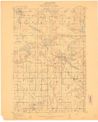 1911 Barrett1911 Print · USGSGrant County is a mosaic of prairie lakes and early rail towns at the dawn of the twentieth century. Genealogists can locate over twenty numbered school sites and early settlements like Thorsborg, Erdahl, and the lake-front village of Barrett.2 unique versions available
 - 1953 Map of Saint Cloud, 1968 Print
 1953 Saint Cloud1968 Print · USGSCentral Minnesota's lake country and the Mississippi River valley are caught in a period of steady mid-century growth. Researchers can trace historic rail lines, old granite works, and local landmarks like St. Johns University, Camp Ripley, and the shores of Lake Minnewaska.3 unique versions available
 - 1957 Map of Saint Cloud
 1957 Saint Cloud1957 Print · USGSCentral Minnesota's lake country and rail corridors are meticulously detailed in the mid-1950s. Genealogists and researchers can trace the growth of towns like Alexandria, Willmar, and Saint Cloud along the Great Northern railroad line.
 - 1958 Map of Saint Cloud
 1958 Saint Cloud1958 Print · USGSCentral Minnesota in the mid-1950s shows a landscape of growing regional hubs and hundreds of glacial lakes connected by an extensive rail network. Genealogists and historians can trace the early footprints of Saint Cloud, Alexandria, and Willmar along the Great Northern Railway.
 - 1973 Map of Elbow Lake, 1975 Print
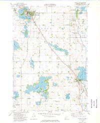 1973 Elbow Lake1975 Print · USGSGrant County’s lake-strewn landscape is captured in the early 1970s, showing the agricultural hubs of Elbow Lake and Barrett. Researchers can trace the path of the SOO LINE and locate several rural landmarks like Immanuel Ch and Bethania Cem.
 - 1973 Map of Erdahl, 1975 Print
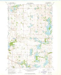 1973 Erdahl1975 Print · USGSGrant County is captured in the early 1970s, showing a transition between the Soo Line rail corridor and the surrounding glacial lake district. Genealogists and local historians can trace family ties at the Lincoln Cem, Zionaborg Cem, and the Townhall near Erdahl.
 - 1986 Map of Lake Minnewaska
 1986 Lake Minnewaska1986 Print · USGSWest-central Minnesota's lake country is captured here in the mid-eighties, showing a landscape of intense glacial activity and growing regional hubs. Genealogists and researchers can trace the rail lines of the Soo Line and Burlington Northern through towns like Glenwood, Starbuck, and Osakis.2 unique versions available
 - 2010 Map of Erdahl, 2010 Print
 2010 Erdahl2010 Print · USGSCovers Barrett, including Erdahl, Douglas County, and other nearby areas
 - 2010 Map of Elbow Lake, 2010 Print
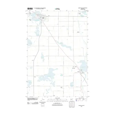 2010 Elbow Lake2010 Print · USGSCovers Barrett, including Elbow Lake, Grant County, and other nearby areas
 - 2013 Map of Elbow Lake, 2013 Print
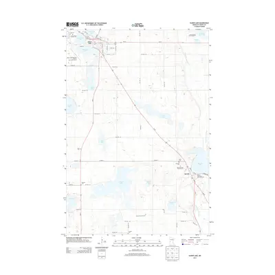 2013 Elbow Lake2013 Print · USGSCovers Barrett, including Elbow Lake, Grant County, and other nearby areas
 - 2013 Map of Erdahl, 2013 Print
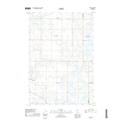
 2013 Erdahl2013 Print · USGSCovers Barrett, including Erdahl, Douglas County, and other nearby areas
 - 2016 Map of Erdahl, 2016 Print
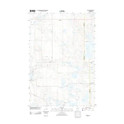
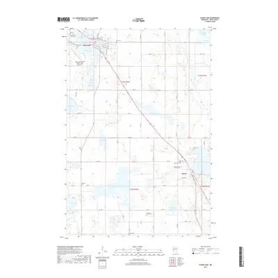
 2016 Erdahl2016 Print · USGSCovers Barrett, including Erdahl, Douglas County, and other nearby areas
 - 2016 Map of Elbow Lake, 2016 Print
 2016 Elbow Lake2016 Print · USGSCovers Barrett, including Elbow Lake, Grant County, and other nearby areas
 - 2019 Map of Elbow Lake, 2019 Print
 2019 Elbow Lake2019 Print · USGSCovers Barrett, including Elbow Lake, Grant County, and other nearby areas
 - 2019 Map of Erdahl, 2019 Print
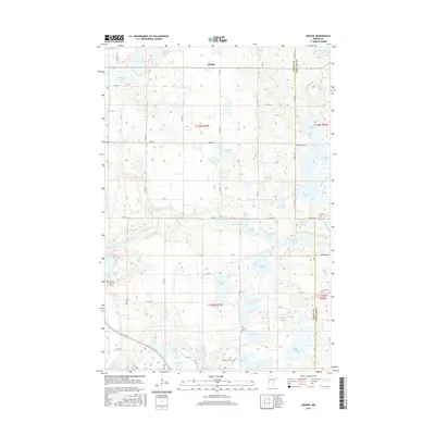
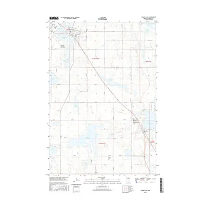
 2019 Erdahl2019 Print · USGSCovers Barrett, including Erdahl, Douglas County, and other nearby areas
 - 2022 Map of Erdahl, 2022 Print
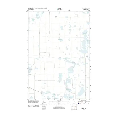
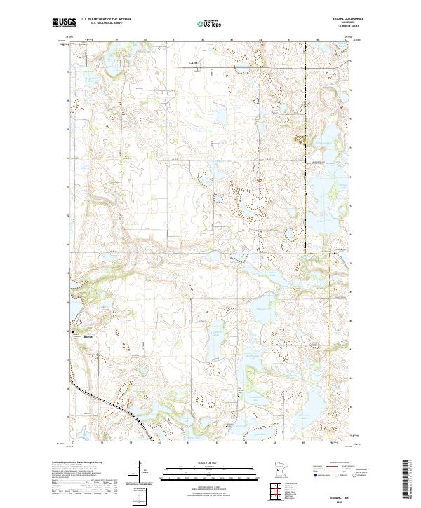 2022 Erdahl2022 Print · USGSGrant County is a landscape of prairie potholes and small rural hubs in the early twenty-first century. Genealogists can trace family history at Old Lincoln Cem, Barrett Covenant Cem, and the village of Erdahl set among numerous lakes and the Chippewa River.
 - 2022 Map of Elbow Lake, 2022 Print
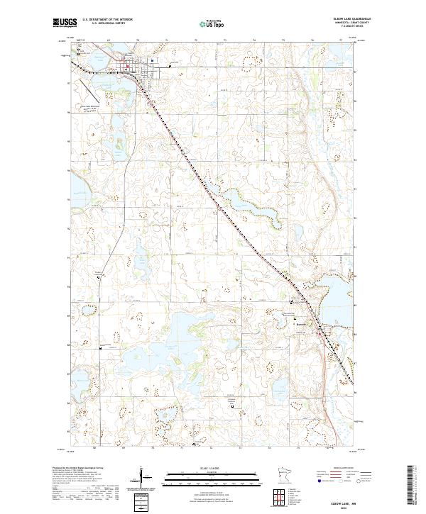 2022 Elbow Lake2022 Print · USGSThe Grant County seat and the nearby town of Barrett are shown here in the 2020s, set against a landscape of glacial lakes and the Pomme de Terre River. Genealogists can trace numerous family-named burial sites including Ness Cem, Bethania Cem, and the Native American Burial Grounds.
End of results
Showing maps 1-17 of 17
Top cities near Barrett
- Elbow Lake historical maps
- Hoffman historical maps
- Evansville historical maps
- Ashby historical maps
- Erdahl historical maps
- Kensington historical maps
See more
Frequently asked questions
- What are the different types of historical maps available for Barrett?
- What is the oldest map of Barrett?
- Where can I purchase historical maps of Barrett for my home or office?
- Where can I download high-res historical maps of Barrett?
- Are there historical topographic maps available for Barrett?
- Is there historical aerial imagery available for Barrett?
- Where are historical maps of Barrett sourced from?