Old Maps of Caledonia, Minnesota for Genealogy
Trace your family roots with 31 historic maps of Caledonia. These high-res maps reveal old neighborhoods, homesites, landmarks, and streets — helping you uncover where your ancestors lived and how the area evolved over time.
- Explore historic neighborhoods: Identify where your relatives may have lived in the 1800s or 1900s.
- Compare maps over time: Trace the changes in streets, buildings, and landmarks for multi-generational research.
- Perfect for genealogy & ancestry research: Used by family historians and researchers to map out lineage and migration.
These maps are an incredible resource for exploring your personal connection to Caledonia's past.
Caledonia, MN maps
(31)- 1956 Map of Brownsville, 1958 Print
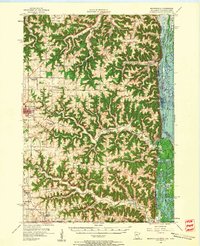 1956 Brownsville1958 Print · USGSSoutheastern Minnesota and the Mississippi River bottoms are captured here in the mid-fifties, showing the region's transition from rural school districts. Researchers can trace dozens of family-named landmarks and closed schools like Peacock Ridge Sch (Abandoned) or visit St Peters Ch.2 unique versions available
 - 1958 Map of La Crosse, 1979 Print
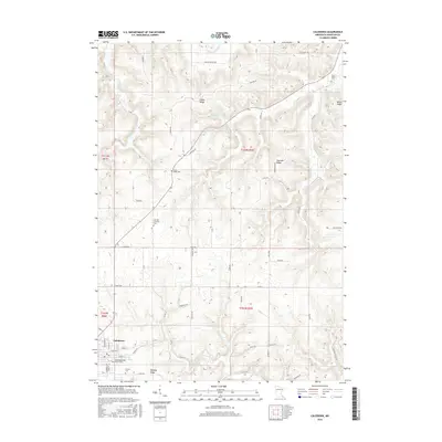
 1958 La Crosse1979 Print · USGSThe Driftless Area of Wisconsin and Iowa is captured here during the late seventies, showing the intricate river valleys and ridge-top settlements. Genealogists and historians can trace the rail corridors of the Soo Line or locate landmarks like Grandad Bluff and Effigy Mounds National Monument.2 unique versions available
 - 1961 Map of La Crosse
 1961 La Crosse1961 Print · USGSThe Driftless Area at the start of the 1960s reveals a complex network of river towns and rail lines along the Mississippi River. Genealogists and historians can trace old settlements like New Amsterdam and Wyattville or locate major landmarks like Camp McCoy Military Reservation and Effigy Mounds National Monument.
 - 1965 Map of La Crosse
 1965 La Crosse1965 Print · USGSThe Driftless Area and the Upper Mississippi valley are captured here during a period of steady mid-century growth. Researchers can trace the rail lines of the Chicago and North Western or locate riverfront sites like Effigy Mounds National Monument and the Camp McCoy Military Reservation.
 - 1965 Map of Wilmington, 1966 Print
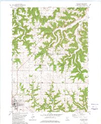
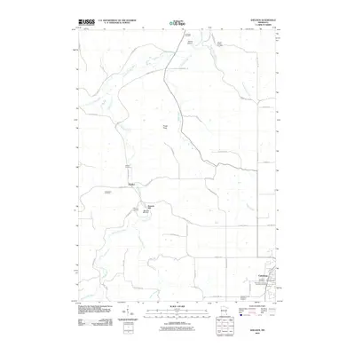
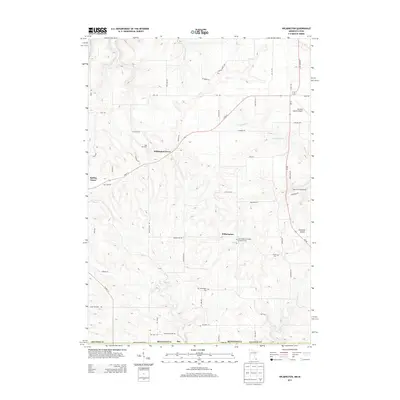
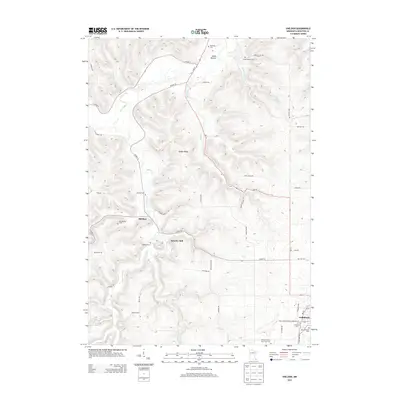
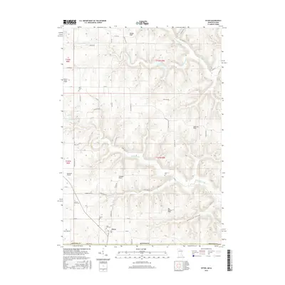
 1965 Wilmington1966 Print · USGSThe Houston County borderlands are captured here in the mid-sixties, showing the transition from wooded ridges to deep creek valleys. Researchers can locate family landmarks like Stone Cem, the Wilmington Ch, and the rural settlement of Bee.2 unique versions available
 - 1965 Map of Sheldon, 1966 Print
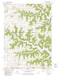
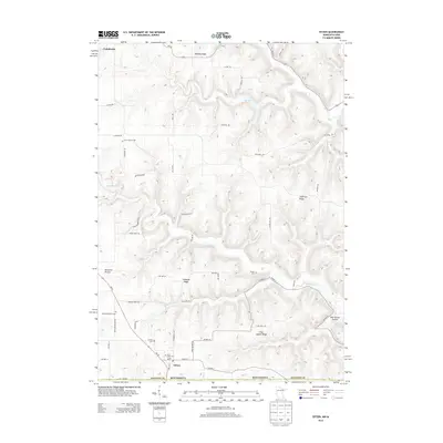
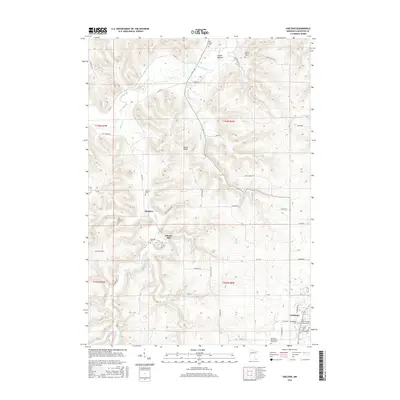
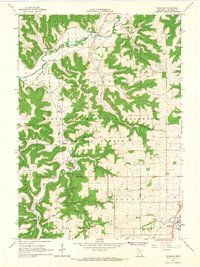 1965 Sheldon1966 Print · USGSHouston County in the mid-1960s showcases a landscape of deep valleys and forested ridges before modern development. Genealogists and historians can trace family-named sites and landmarks like Schechs Mill, Sheldon, and the High School in Caledonia.2 unique versions available
 - 1976 Map of La Crosse
 1976 La Crosse1976 Print · USGSThe Driftless Area and Mississippi River valley are captured here in the mid-seventies, showing a landscape of deep coulees and river commerce. Genealogists can trace family footprints from La Crosse to smaller hamlets like Newburg Corners and Witoka.
 - 1980 Map of Caledonia
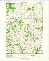
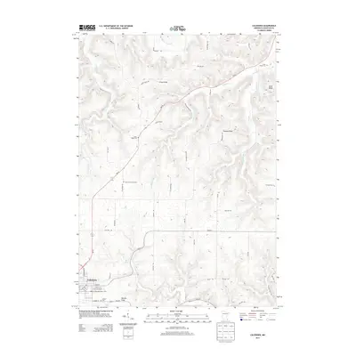
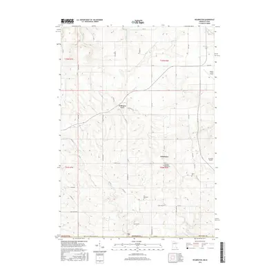
 1980 Caledonia1980 Print · USGSHouston County’s coulee country is captured here during the late 1970s as agricultural ridges met protected hardwood forests. Genealogists can locate family landmarks like St Peters Ch, Calvary Cemetery, and the Townhall among the many family-named heights like Murphy Ridge.
 - 1980 Map of Eitzen
 1980 Eitzen1980 Print · USGSThe Minnesota-Iowa border region near Eitzen comes alive in this 1980s record of the Driftless Area's ridges and valleys. Researchers can trace family sites like St Lukes Ch and Carsten Cem or explore the wooded draws of Winnebago Creek.
 - 1984 Map of La Crosse, 1985 Print
 1984 La Crosse1985 Print · USGSThe Driftless Area of the upper Mississippi valley appears here in the mid-eighties, showing the tri-state intersections of Wisconsin, Minnesota, and Iowa. Genealogists and local historians can trace family-named landmarks such as Peacock Ridge or Prosch Coulee and locate rural landmarks like St Marys Ch.
 - 1990 Map of La Crosse, 1991 Print
 1990 La Crosse1991 Print · USGSThe tri-state river valley at the end of the twentieth century shows a landscape defined by the Mississippi River and heavy rail. Trace the paths of the Soo Line and Burlington Northern through river towns like Brownsville and La Crescent.
 - 2010 Map of Eitzen, 2010 Print
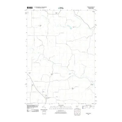 2010 Eitzen2010 Print · USGSCovers Caledonia, including Eitzen, Houston County, and other nearby areas
 - 2010 Map of Wilmington, 2010 Print
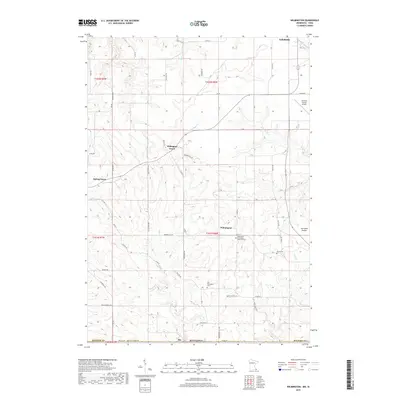
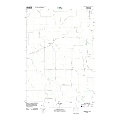 2010 Wilmington2010 Print · USGSCovers Caledonia, including Spring Grove, Wilmington, and other nearby areas
 - 2010 Map of Sheldon, 2010 Print
 2010 Sheldon2010 Print · USGSCovers Caledonia, including Houston, Sheldon, and other nearby areas
 - 2010 Map of Caledonia, 2010 Print
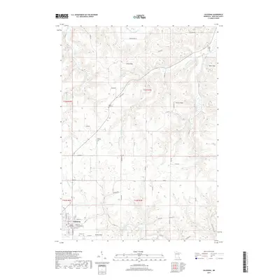
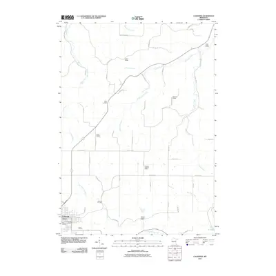 2010 Caledonia2010 Print · USGSCovers Caledonia, including Eastside Mobile Home Park, Houston County, and other nearby areas
 - 2013 Map of Caledonia, 2013 Print
 2013 Caledonia2013 Print · USGSCovers Caledonia, including Eastside Mobile Home Park, Houston County, and other nearby areas
 - 2013 Map of Wilmington, 2013 Print
 2013 Wilmington2013 Print · USGSCovers Caledonia, including Spring Grove, Wilmington, and other nearby areas
 - 2013 Map of Eitzen, 2013 Print
 2013 Eitzen2013 Print · USGSCovers Caledonia, including Eitzen, Houston County, and other nearby areas
 - 2013 Map of Sheldon, 2013 Print
 2013 Sheldon2013 Print · USGSCovers Caledonia, including Houston, Sheldon, and other nearby areas
 - 2016 Map of Wilmington, 2016 Print
 2016 Wilmington2016 Print · USGSCovers Caledonia, including Spring Grove, Wilmington, and other nearby areas
 - 2016 Map of Caledonia, 2016 Print
 2016 Caledonia2016 Print · USGSCovers Caledonia, including Eastside Mobile Home Park, Houston County, and other nearby areas
 - 2016 Map of Sheldon, 2016 Print
 2016 Sheldon2016 Print · USGSCovers Caledonia, including Houston, Sheldon, and other nearby areas
 - 2016 Map of Eitzen, 2016 Print
 2016 Eitzen2016 Print · USGSCovers Caledonia, including Eitzen, Houston County, and other nearby areas
 - 2019 Map of Wilmington, 2019 Print
 2019 Wilmington2019 Print · USGSCovers Caledonia, including Spring Grove, Wilmington, and other nearby areas
 - 2019 Map of Caledonia, 2019 Print
 2019 Caledonia2019 Print · USGSCovers Caledonia, including Eastside Mobile Home Park, Houston County, and other nearby areas
Showing maps 1-25 of 31
Top cities near Caledonia
- La Crescent historical maps
- Spring Grove historical maps
- Houston historical maps
- Hokah historical maps
- Money Creek historical maps
- Brownsville historical maps
See more
Top neighborhoods of Caledonia
Frequently asked questions
- What are the different types of historical maps available for Caledonia?
- What is the oldest map of Caledonia?
- Where can I purchase historical maps of Caledonia for my home or office?
- Where can I download high-res historical maps of Caledonia?
- Are there historical topographic maps available for Caledonia?
- Is there historical aerial imagery available for Caledonia?
- Where are historical maps of Caledonia sourced from?