Old Maps of Wilmington, Minnesota for Metal Detecting
Plan your next treasure hunt with 12 historic maps of Wilmington. Find old homesites, ghost towns, trails, and gathering spots that may be lost to time — perfect for identifying promising metal detecting locations.
- Locate forgotten sites: Uncover places like long-lost settlements, abandoned rail lines, or gathering spots.
- Plan better hunts: Use map overlays combined with LiDAR or satellite views to narrow in on historically rich areas.
- Made for detectorists: Thousands of hobbyists use these maps to discover relics, coins, and hidden history.
Use these historic maps to boost your research and find new opportunities beneath the surface of Wilmington.
Wilmington, MN maps
(12)- 1958 Map of La Crosse, 1979 Print
 1958 La Crosse1979 Print · USGSThe Driftless Area of Wisconsin and Iowa is captured here during the late seventies, showing the intricate river valleys and ridge-top settlements. Genealogists and historians can trace the rail corridors of the Soo Line or locate landmarks like Grandad Bluff and Effigy Mounds National Monument.2 unique versions available
 - 1961 Map of La Crosse
 1961 La Crosse1961 Print · USGSThe Driftless Area at the start of the 1960s reveals a complex network of river towns and rail lines along the Mississippi River. Genealogists and historians can trace old settlements like New Amsterdam and Wyattville or locate major landmarks like Camp McCoy Military Reservation and Effigy Mounds National Monument.
 - 1965 Map of La Crosse
 1965 La Crosse1965 Print · USGSThe Driftless Area and the Upper Mississippi valley are captured here during a period of steady mid-century growth. Researchers can trace the rail lines of the Chicago and North Western or locate riverfront sites like Effigy Mounds National Monument and the Camp McCoy Military Reservation.
 - 1965 Map of Wilmington, 1966 Print
 1965 Wilmington1966 Print · USGSThe Houston County borderlands are captured here in the mid-sixties, showing the transition from wooded ridges to deep creek valleys. Researchers can locate family landmarks like Stone Cem, the Wilmington Ch, and the rural settlement of Bee.2 unique versions available
 - 1976 Map of La Crosse
 1976 La Crosse1976 Print · USGSThe Driftless Area and Mississippi River valley are captured here in the mid-seventies, showing a landscape of deep coulees and river commerce. Genealogists can trace family footprints from La Crosse to smaller hamlets like Newburg Corners and Witoka.
 - 1984 Map of La Crosse, 1985 Print
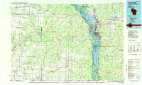 1984 La Crosse1985 Print · USGSThe Driftless Area of the upper Mississippi valley appears here in the mid-eighties, showing the tri-state intersections of Wisconsin, Minnesota, and Iowa. Genealogists and local historians can trace family-named landmarks such as Peacock Ridge or Prosch Coulee and locate rural landmarks like St Marys Ch.
 - 1990 Map of La Crosse, 1991 Print
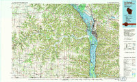 1990 La Crosse1991 Print · USGSThe tri-state river valley at the end of the twentieth century shows a landscape defined by the Mississippi River and heavy rail. Trace the paths of the Soo Line and Burlington Northern through river towns like Brownsville and La Crescent.
 - 2010 Map of Wilmington, 2010 Print
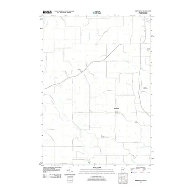 2010 Wilmington2010 Print · USGSSoutheast Minnesota's rural township landscape is documented here during the early twenty-first century. Family history researchers can trace sites like the Wilmington Norwegian Lutheran Cemetery, Stone Cemetery, and the small settlement of Bee.
 - 2013 Map of Wilmington, 2013 Print
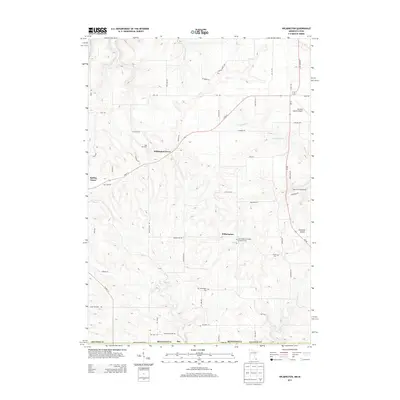 2013 Wilmington2013 Print · USGSHouston County at the start of the 2010s reveals a quiet agricultural landscape where Minnesota meets the Iowa border. Genealogists can trace family footprints at Stone Cem or the Old Wilmington Cem and locate historic farms near Bee and Willington Grove.
 - 2016 Map of Wilmington, 2016 Print
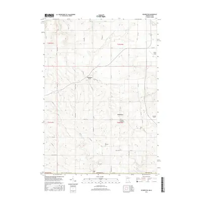 2016 Wilmington2016 Print · USGSHouston County's agricultural heartland is documented here in the early twenty-first century, centered on the high ground of Portland Prairie. Genealogists can trace family footprints at the Wilmington Norwegian Lutheran Cem or find the rural crossroads of Bee and Willington Grove.
 - 2019 Map of Wilmington, 2019 Print
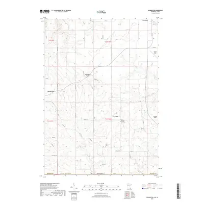 2019 Wilmington2019 Print · USGSSoutheastern Minnesota's ridge country is captured here in the late twenty-teens, showing a landscape of traditional farmsteads and narrow valleys. Genealogists can locate several burial grounds including Stone Cem and the Wilmington Norwegian Lutheran Cem near the historic settlement of Wilmington.
 - 2022 Map of Wilmington, 2022 Print
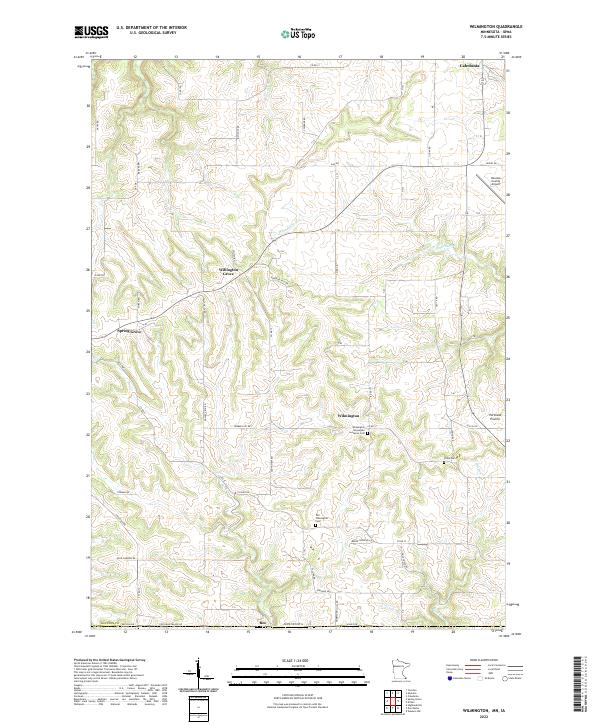 2022 Wilmington2022 Print · USGSSoutheast Minnesota’s driftless landscape remains defined by its ridge-top settlements and deep stream valleys in the early twenty-first century. Genealogists can trace early parish roots at the Wilmington Norwegian Lutheran Cem or explore the rural hubs of Willington Grove and Bee.
End of results
Showing maps 1-12 of 12
Top cities near Wilmington
- Decorah historical maps
- Caledonia historical maps
- Spring Grove historical maps
- Houston historical maps
- Rushford Village historical maps
- Mabel historical maps
See more
Frequently asked questions
- What are the different types of historical maps available for Wilmington?
- What is the oldest map of Wilmington?
- Where can I purchase historical maps of Wilmington for my home or office?
- Where can I download high-res historical maps of Wilmington?
- Are there historical topographic maps available for Wilmington?
- Is there historical aerial imagery available for Wilmington?
- Where are historical maps of Wilmington sourced from?