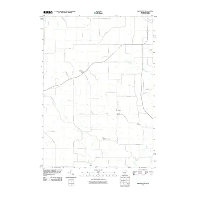
2010 Map of Wilmington
USGS Topo · Published 2010About this map
Wilmington Norwegian Lutheran Cemetery serves as a primary historical anchor in this rural Houston County landscape, located near the small settlement of Wilmington. The area is defined by a dense network of local roads and creek valleys, including the drainages of Winnebago Creek and Bee Creek. Smaller historical nodes like Willington Grove, Bergen, and Bee are scattered throughout the township, connected by routes such as County Hwy-17 and County Hwy-12.
Find a feature on this map
59 named features on this map. Tap any name to fly to it.
Don’t see what you’re looking for? This feature index may not catch every label — zoom into the map to look around manually.
Map Details
Editions of this 2010 Wilmington Map
This is the sole edition of this map. No revisions or reprints were ever made.
Other maps of this area

1903 · Waukon
USGS Topo · 1:125,000

1906 · Decorah
USGS Topo · 1:125,000

1956 · Brownsville
USGS Topo · 1:62,500

1958 · La Crosse
USGS Topo · 1:250,000

1961 · La Crosse
USGS Topo · 1:250,000

1965 · La Crosse
USGS Topo · 1:250,000

1965 · Wilmington
USGS Topo · 1:24,000

1965 · Spring Grove
USGS Topo · 1:24,000

1965 · Sheldon
USGS Topo · 1:24,000

1965 · Yucatan
USGS Topo · 1:24,000