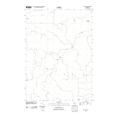
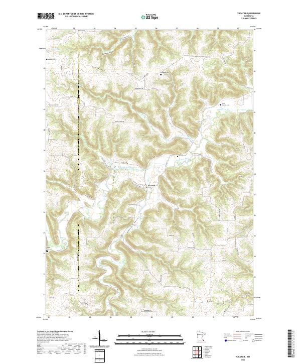
1965 Map of Yucatan
USGS Topo · Published 1966About this map
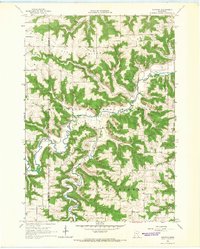
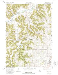
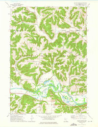
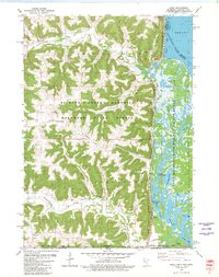
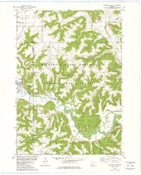
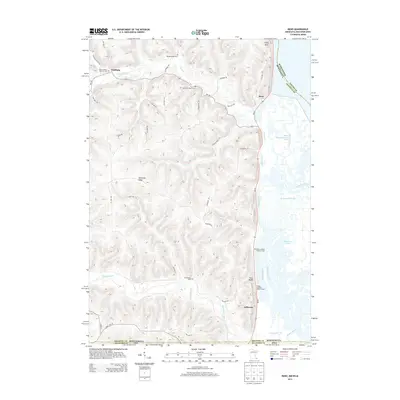
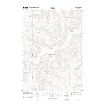
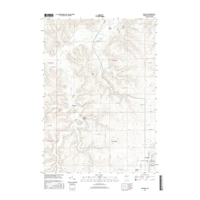
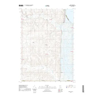
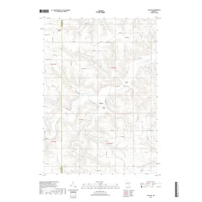
The South Fork Root River carves a deeply dissected path through the karst landscape of southeastern Minnesota, anchoring the small settlements of Yucatan and Riceford. This mid-1960s survey reveals a rural society built upon a series of prominent high-elevation divides, including Oak Ridge, Norway Ridge, and Black Hammer Ridge. The map documents a traditional landscape of small-town governance and education, evidenced by the Townhall near the river bend and rural schoolhouses such as School No 633.
Find a feature on this map
31 named features on this map. Tap any name to fly to it.
Don’t see what you’re looking for? This feature index may not catch every label — zoom into the map to look around manually.
Map Details
Editions of this 1965 Yucatan Map
This is the sole edition of this map. No revisions or reprints were ever made.
Historical Maps of Yucatan Through Time
36 maps found
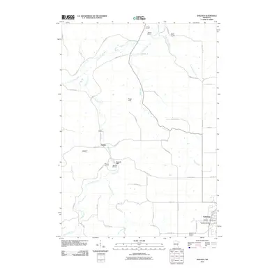
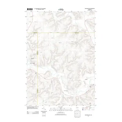
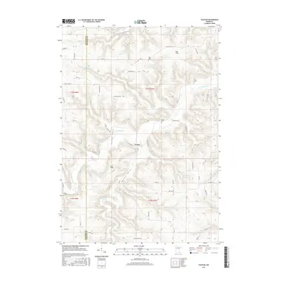
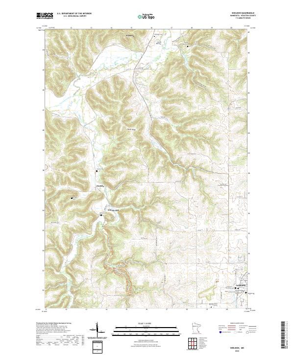
1965 Sheldon
Houston County, MN

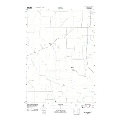
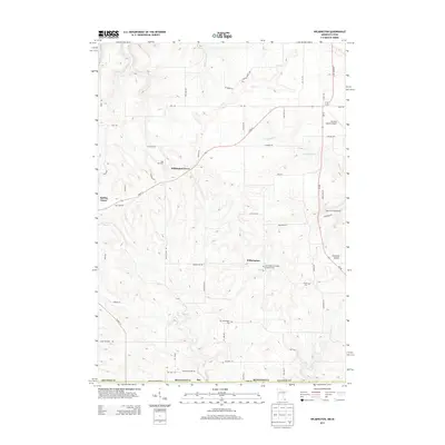
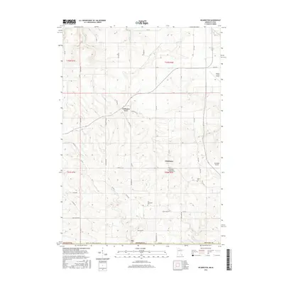
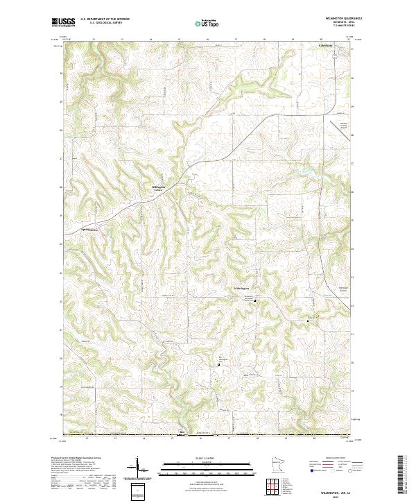
1965 Wilmington
Houston County, MN
1965 Yucatan
Houston County, MN
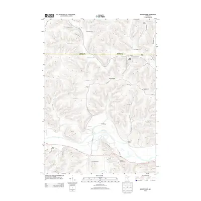
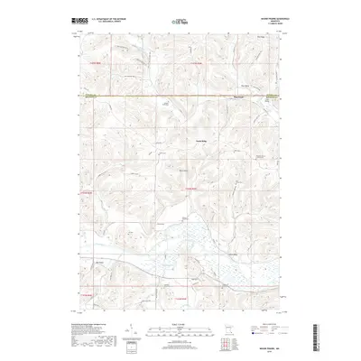
1973 Mound Prairie
Houston County, MN
1980 Reno
Houston County, MN
1980 Rushford East
Houston County, MN
2010 Mound Prairie
Houston County, MN
2010 Reno
Houston County, MN
2010 Rushford East
Houston County, MN
2010 Sheldon
Houston County, MN
2010 Wilmington
Houston County, MN
2010 Yucatan
Houston County, MN
2013 Mound Prairie
Houston County, MN
2013 Reno
Houston County, MN
2013 Rushford East
Houston County, MN
2013 Sheldon
Houston County, MN
2013 Wilmington
Houston County, MN
2013 Yucatan
Houston County, MN
2016 Mound Prairie
Houston County, MN
2016 Reno
Houston County, MN
2016 Rushford East
Houston County, MN
2016 Sheldon
Houston County, MN
2016 Wilmington
Houston County, MN
2016 Yucatan
Houston County, MN
2019 Mound Prairie
Houston County, MN
2019 Reno
Houston County, MN
2019 Rushford East
Houston County, MN
2019 Sheldon
Houston County, MN
2019 Wilmington
Houston County, MN
2019 Yucatan
Houston County, MN
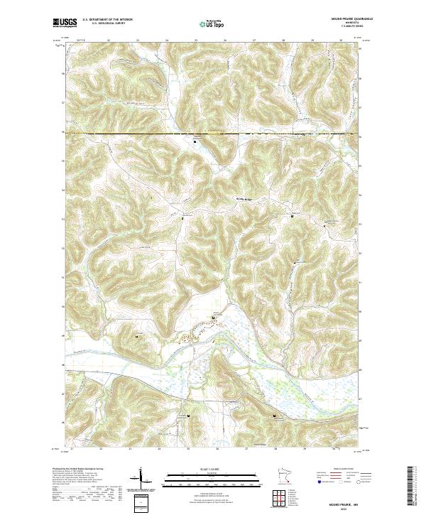
2022 Mound Prairie
Houston County, MN
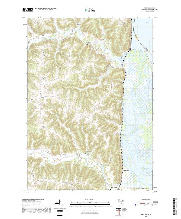
2022 Reno
Houston County, MN
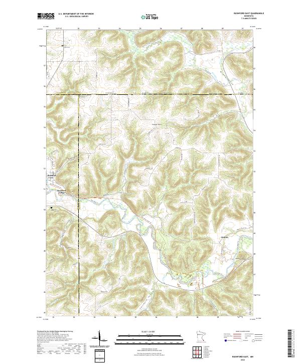
2022 Rushford East
Houston County, MN
2022 Sheldon
Houston County, MN
2022 Wilmington
Houston County, MN
2022 Yucatan
Houston County, MN