Old Maps of Woodland Terrace Mobile Home Park, Bigfork for Metal Detecting
Plan your next treasure hunt with 13 historic maps of Woodland Terrace Mobile Home Park. Find old homesites, ghost towns, trails, and gathering spots that may be lost to time — perfect for identifying promising metal detecting locations.
- Locate forgotten sites: Uncover places like long-lost settlements, abandoned rail lines, or gathering spots.
- Plan better hunts: Use map overlays combined with LiDAR or satellite views to narrow in on historically rich areas.
- Made for detectorists: Thousands of hobbyists use these maps to discover relics, coins, and hidden history.
Use these historic maps to boost your research and find new opportunities beneath the surface of Woodland Terrace Mobile Home Park.
Woodland Terrace Mobile Home Park, Bigfork maps
(13)- 1919 Map of Marcell, 1943 Print
 1919 Marcell1943 Print · USGSItasca County in the early twentieth century was defined by a dense network of logging railroads and remote water-bound settlements. You can trace the path of the Minneapolis and Rainy River Railroad through Round Lake Junction, locate the school near Rainy Lake, and explore the layout of Marcell.
 - 1954 Map of Hibbing, 1966 Print
 1954 Hibbing1966 Print · USGSNorthern Minnesota's Iron Range thrives during the mid-1960s, showing the industrial landscape between the Mesabi Range and the Mississippi River. Genealogists and historians can trace the rail lines of the Great Northern RR through mining hubs like Hibbing and Virginia.3 unique versions available
 - 1957 Map of Hibbing
 1957 Hibbing1957 Print · USGSNorthern Minnesota's Iron Range is shown at its industrial peak in the mid-fifties, dominated by the massive iron pits and rail corridors of the Mesabi Range. Researchers can trace the rail networks of the Duluth Missabe and Iron Range and locate mining hubs like Hibbing, Virginia, and Bovey.
 - 1958 Map of Hibbing
 1958 Hibbing1958 Print · USGSThe Mesabi Iron Range reached its mid-century height during this era, defining the landscape between Grand Rapids and Virginia. Genealogists and historians can trace the mining-town networks of Hibbing and Chisholm or locate numerous iron mines and rail spurs.
 - 1964 Map of Hibbing
 1964 Hibbing1964 Print · USGSNorthern Minnesota’s iron-rich corridor is captured here during a peak era of mid-century industrial activity. Researchers can trace the rail-to-mine connections through Mesabi Range towns like Hibbing and Virginia or locate lakefront settlements near Pokegama Lake.
 - 1970 Map of Bigfork, 1973 Print
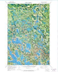 1970 Bigfork1973 Print · USGSItasca County timber and water systems are captured here in the early 1970s, showcasing the region's transition between state and national forests. Genealogists and historians can trace early transport routes like the Old Railroad Grade and find local landmarks such as Lakeview Cem and the Stokes Lookout Tower.
 - 1976 Map of Bigfork, 1994 Print
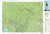 1976 Bigfork1994 Print · USGSNorthern Minnesota's woods and waters are captured in the mid-seventies, showing the intersection of logging country and forest conservation. Researchers can trace rural post offices and fire lookouts like the Scenic Lookout Tower alongside lakes such as Bello Lake and Deer Lake.
 - 1996 Map of Bigfork, 1998 Print
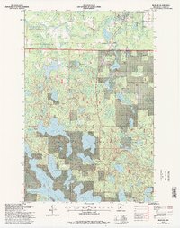 1996 Bigfork1998 Print · USGSBigfork and the surrounding Itasca County wilderness are captured in the mid-1990s as the regional timber and recreational economy thrived. Genealogists and local historians can trace the riverside village near Lakeview Cemetery or explore the woods via the Jingo Lake Trails and Snowmobile Trail.
 - 2011 Map of Bigfork, 2011 Print
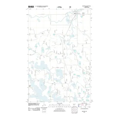 2011 Bigfork2011 Print · USGSThe community of Bigfork and its surrounding glacial lakes are captured here in the early twenty-first century. Researchers can locate local landmarks like Stakes Cemetery, the Stokes Lookout Tower, and the unique Snells Seaplane Base tucked among the timber.
 - 2013 Map of Bigfork, 2013 Print
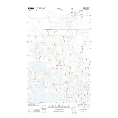 2013 Bigfork2013 Print · USGSBigfork and the surrounding northern Minnesota lake country are documented here in the early twenty-first century as the region balanced forestry and recreation. Researchers can locate family landmarks and rural infrastructure including Stakes Cem, Stokes Lookout Tower, and the Big-Fork River.
 - 2016 Map of Bigfork, 2016 Print
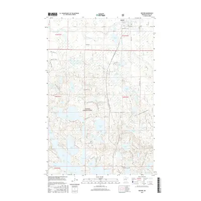 2016 Bigfork2016 Print · USGSBigfork and the surrounding Itasca County wilderness are captured here in the mid-2010s, showing a landscape shaped by water and timber. Genealogists and local historians can locate Lakeview Cem, trace old routes like Jaynes School Rd, and explore the edges of Chippewa National Forest.
 - 2019 Map of Bigfork, 2019 Print
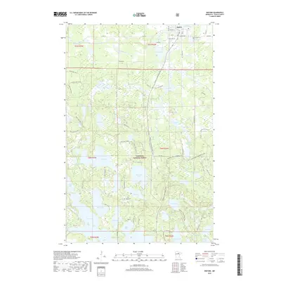 2019 Bigfork2019 Print · USGSThe village of Bigfork and the surrounding timberlands of the Chippewa National Forest are captured here in the late 2010s. Genealogists and local historians can locate Lakeview Cem and Stakes Cem, or trace the banks of the Big Fork River.
 - 2022 Map of Bigfork, 2022 Print
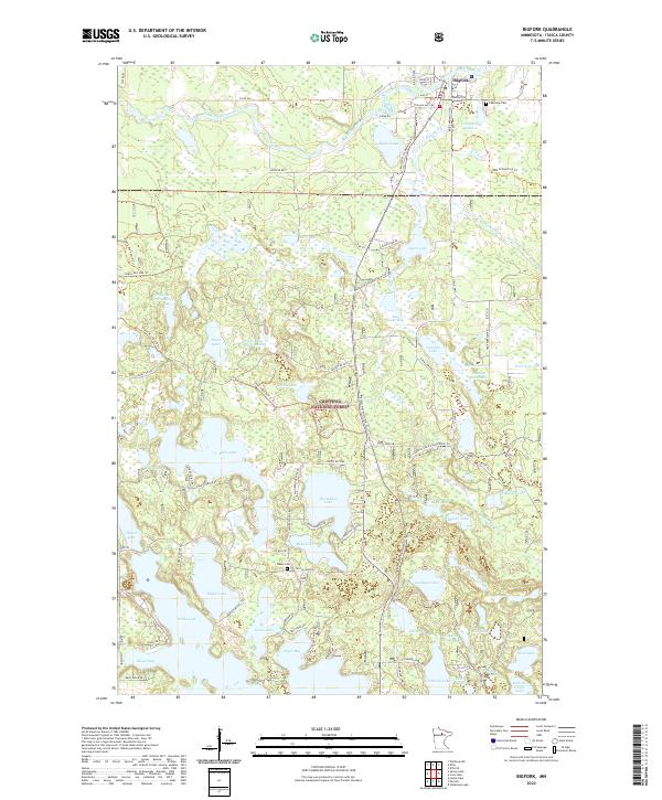 2022 Bigfork2022 Print · USGSBigfork and the surrounding Itasca County lakeland are documented here in the early twenty-first century as the region balanced timber history with forest conservation. Researchers can locate family landmarks like Lakeview Cem and Stakes Cem or trace the winding course of the Big Fork River through the Chippewa National Forest.
End of results
Showing maps 1-13 of 13
Top cities near Woodland Terrace Mobile Home Park
Frequently asked questions
- What are the different types of historical maps available for Woodland Terrace Mobile Home Park?
- What is the oldest map of Woodland Terrace Mobile Home Park?
- Where can I purchase historical maps of Woodland Terrace Mobile Home Park for my home or office?
- Where can I download high-res historical maps of Woodland Terrace Mobile Home Park?
- Are there historical topographic maps available for Woodland Terrace Mobile Home Park?
- Is there historical aerial imagery available for Woodland Terrace Mobile Home Park?
- Where are historical maps of Woodland Terrace Mobile Home Park sourced from?