Old Maps of Max, Minnesota for Academic Research
Study the evolution of Max with 12 high-resolution historic maps. Whether you're teaching, researching, or modeling changes in land use, these maps provide essential visual documentation of urban, environmental, and geographic change.
- Analyze long-term change: Track patterns in development, transportation, and natural features.
- Ideal for environmental or urban studies: Support academic projects with primary historical map data.
- Use in the classroom or lab: Educators and researchers rely on these maps to bring historical context to life.
These maps are a powerful tool for teaching, research, and visualizing how Max has changed over the decades.
Max, MN maps
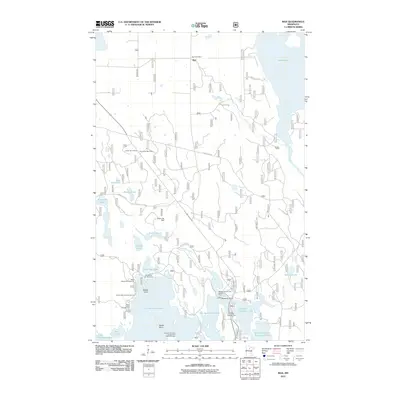
(12)- 1919 Map of Max
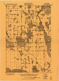 1919 Max1919 Print · USGSItasca County's wooded lake country is captured here during the early days of the Minnesota National Forest. Genealogists and researchers can trace early settlements at Max and Popple or locate remote rural schools near Squaw Lake.2 unique versions available
 - 1954 Map of Bemidji, 1966 Print
 1954 Bemidji1966 Print · USGSNorthern Minnesota's lake country and timberlands are captured here at a mid-century peak of rail and road expansion. Genealogists and historians can trace family roots through numerous small settlements like Mahnomen, Clearbrook, and Walker, while locating local landmarks such as White Earth Church.4 unique versions available
 - 1957 Map of Bemidji
 1957 Bemidji1957 Print · USGSNorthern Minnesota in the mid-fifties is defined by its massive lake systems and the sprawling timberlands of the Chippewa National Forest. Genealogists and researchers can trace old rail lines like the Great Northern RR and locate settlements such as Moberg, Naytahwaush, and Lake Itasca.
 - 1958 Map of Bemidji
 1958 Bemidji1958 Print · USGSNorthern Minnesota in the late fifties is a vast landscape of tribal lands and timber forests tied together by rail. Genealogists and researchers can trace old rail stops and lakeside communities from Walker to Fosston, or explore the source of the Mississippi at Lake Itasca.
 - 1971 Map of Max, 1974 Print
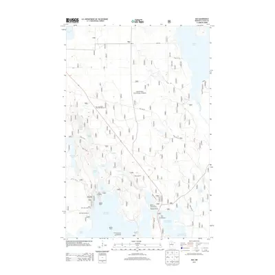
 1971 Max1974 Print · USGSUpper Minnesota's lake country is captured in the early 1970s as a hub of timber management and seasonal recreation within the Chippewa National Forest. Local history researchers can trace old transport routes like the Old Railroad Grade and Winter Trail along the shores of Cut Foot Sioux Lake.
 - 1976 Map of Blackduck, 1978 Print
 1976 Blackduck1978 Print · USGSNorthern Minnesota's lake country and timberlands are captured here during the mid-seventies, showing the intersection of several state and national forests. Genealogists and historians can trace rail lines like the Burlington Northern and find old lookout sites like the O'Brien Lookout Tower near Blackduck.
 - 1996 Map of Max, 1998 Print
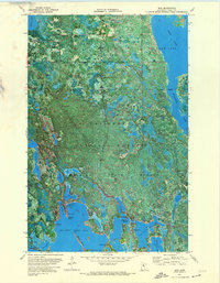
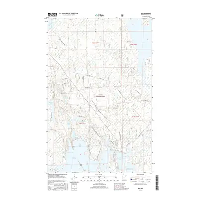
 1996 Max1998 Print · USGSItasca County’s lake country is captured in the late nineties as a hub of forestry and recreation within the Chippewa National Forest. Local historians can trace the footprint of Max and find the exact locations of a Ranger Station and the Organization Camp.
 - 2011 Map of Max, 2011 Print
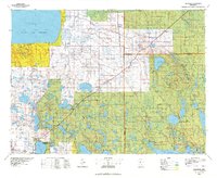
 2011 Max2011 Print · USGSCovers Max, including Wiiams Narrows Resort and Mobile Home Court, Itasca County, and other nearby areas
 - 2013 Map of Max, 2013 Print
 2013 Max2013 Print · USGSCovers Max, including Wiiams Narrows Resort and Mobile Home Court, Itasca County, and other nearby areas
 - 2016 Map of Max, 2016 Print
 2016 Max2016 Print · USGSCovers Max, including Wiiams Narrows Resort and Mobile Home Court, Itasca County, and other nearby areas
 - 2019 Map of Max, 2019 Print
 2019 Max2019 Print · USGSCovers Max, including Wiiams Narrows Resort and Mobile Home Court, Itasca County, and other nearby areas
 - 2022 Map of Max, 2022 Print
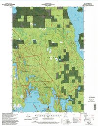
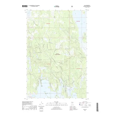
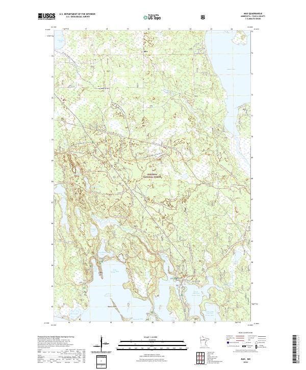 2022 Max2022 Print · USGSThe wilderness around Max and the Chippewa National Forest is shown here in the early twenty-first century. Outdoor historians can trace a dense network of specialized paths like the Cutfoot Sioux National Recreation Trl and family-named landings such as McAvity Bay.
End of results
Showing maps 1-12 of 12
Top cities near Max
- Wirt historical maps
- Squaw Lake / Gaa-waawiyegamaag historical maps
- Alvwood historical maps
- Pomroy historical maps
Frequently asked questions
- What are the different types of historical maps available for Max?
- What is the oldest map of Max?
- Where can I purchase historical maps of Max for my home or office?
- Where can I download high-res historical maps of Max?
- Are there historical topographic maps available for Max?
- Is there historical aerial imagery available for Max?
- Where are historical maps of Max sourced from?