Old Maps of Orth, Minnesota for Metal Detecting
Plan your next treasure hunt with 13 historic maps of Orth. Find old homesites, ghost towns, trails, and gathering spots that may be lost to time — perfect for identifying promising metal detecting locations.
- Locate forgotten sites: Uncover places like long-lost settlements, abandoned rail lines, or gathering spots.
- Plan better hunts: Use map overlays combined with LiDAR or satellite views to narrow in on historically rich areas.
- Made for detectorists: Thousands of hobbyists use these maps to discover relics, coins, and hidden history.
Use these historic maps to boost your research and find new opportunities beneath the surface of Orth.
Orth, MN maps
(13)- 1919 Map of Bridgie, 1924 Print
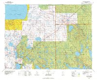
 1919 Bridgie1924 Print · USGSNorthern Minnesota timber country comes alive in this post-World War I era survey of the borderlands between Beltrami and Koochiching counties. Genealogists and historians can trace the early railroad boom through Northome, Funkley, and Orth along the Minnesota International line.
 - 1924 Map of Bridgie, 1944 Print
 1924 Bridgie1944 Print · USGSNorthern Minnesota's woods and wetlands are captured here in the mid-1920s as the rail lines and early settlements began to formalize the landscape. Researchers can trace the path of the Minnesota International through vanished rail stops and small towns like Orth, Funkley, and Bridgie.
 - 1954 Map of Bemidji, 1966 Print
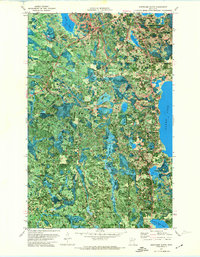
 1954 Bemidji1966 Print · USGSNorthern Minnesota's lake country and timberlands are captured here at a mid-century peak of rail and road expansion. Genealogists and historians can trace family roots through numerous small settlements like Mahnomen, Clearbrook, and Walker, while locating local landmarks such as White Earth Church.4 unique versions available
 - 1957 Map of Bemidji
 1957 Bemidji1957 Print · USGSNorthern Minnesota in the mid-fifties is defined by its massive lake systems and the sprawling timberlands of the Chippewa National Forest. Genealogists and researchers can trace old rail lines like the Great Northern RR and locate settlements such as Moberg, Naytahwaush, and Lake Itasca.
 - 1958 Map of Bemidji
 1958 Bemidji1958 Print · USGSNorthern Minnesota in the late fifties is a vast landscape of tribal lands and timber forests tied together by rail. Genealogists and researchers can trace old rail stops and lakeside communities from Walker to Fosston, or explore the source of the Mississippi at Lake Itasca.
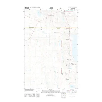
 - 1971 Map of Northome South, 1974 Print
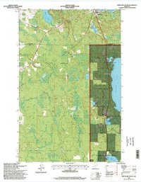
 1971 Northome South1974 Print · USGSNorthern Minnesota's woods and waters are captured in the early 1970s as small settlements like Northome and Orth remain connected by the Burlington Northern railroad. Genealogists and historians can locate Forest Hill Cem, the Northome Lookout Tower, and the remote Fish Hatchery near Island Lake.
 - 1976 Map of Blackduck, 1978 Print
 1976 Blackduck1978 Print · USGSNorthern Minnesota's lake country and timberlands are captured here during the mid-seventies, showing the intersection of several state and national forests. Genealogists and historians can trace rail lines like the Burlington Northern and find old lookout sites like the O'Brien Lookout Tower near Blackduck.
 - 1996 Map of Northome South, 1998 Print
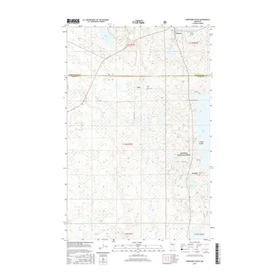
 1996 Northome South1998 Print · USGSNorthern Minnesota timber and lakeland are shown in detail during the late nineties, centered on the border of Itasca and Koochiching counties. Genealogists can locate Forest Hill Cemetery and the settlement of Bergville, while the terrain captures Island Lake and Northome.
 - 2011 Map of Northome South, 2011 Print
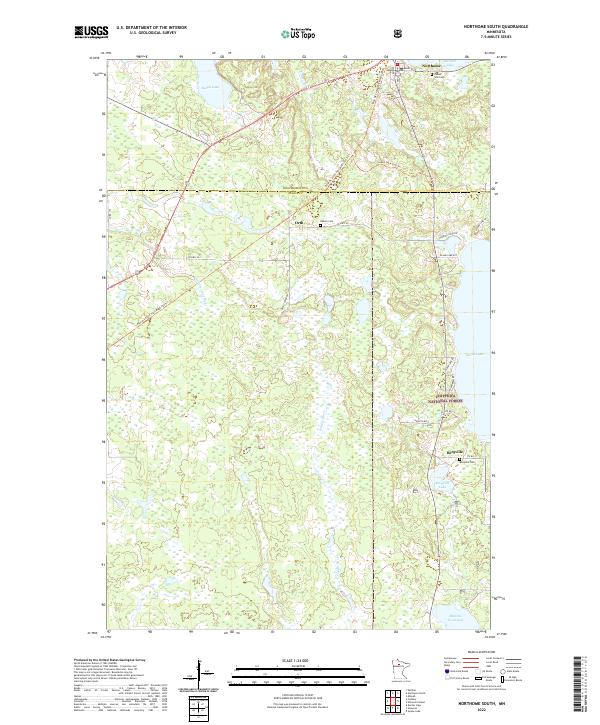
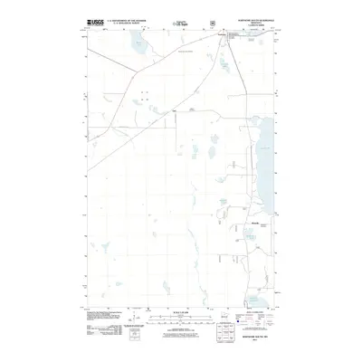 2011 Northome South2011 Print · USGSCovers Orth, including Northome, Bergville, and other nearby areas
 - 2013 Map of Northome South, 2013 Print
 2013 Northome South2013 Print · USGSCovers Orth, including Northome, Bergville, and other nearby areas
 - 2016 Map of Northome South, 2016 Print
 2016 Northome South2016 Print · USGSCovers Orth, including Northome, Bergville, and other nearby areas
 - 2019 Map of Northome South, 2019 Print
 2019 Northome South2019 Print · USGSCovers Orth, including Northome, Bergville, and other nearby areas
 - 2022 Map of Northome South, 2022 Print
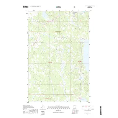
 2022 Northome South2022 Print · USGSNorthern Minnesota’s lake-and-forest country is detailed here in the early 2020s, spanning the border of Itasca and Koochiching counties. Genealogists and local historians can trace rural burial sites like Oakum Cem and the small settlements of Orth and Bergville.
End of results
Showing maps 1-13 of 13
Top cities near Orth
- Blackduck historical maps
- Kelliher historical maps
- Northome historical maps
- Shooks historical maps
- Squaw Lake / Gaa-waawiyegamaag historical maps
- Alvwood historical maps
See more
Frequently asked questions
- What are the different types of historical maps available for Orth?
- What is the oldest map of Orth?
- Where can I purchase historical maps of Orth for my home or office?
- Where can I download high-res historical maps of Orth?
- Are there historical topographic maps available for Orth?
- Is there historical aerial imagery available for Orth?
- Where are historical maps of Orth sourced from?