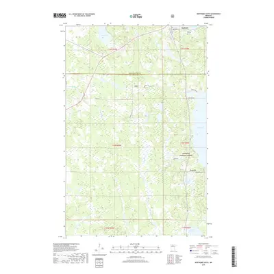
2019 Map of Northome South
USGS Topo · Published 2019About this map
Northome sits at the northern edge of this landscape, serving as a gateway to the wooded wetlands and lake systems of the Chippewa National Forest. The map documents a sparsely populated region defined by its water and timber heritage, where small settlements like Orth and Bergville are connected by rural routes such as Co Hwy 30 and Island Lake Rd. The terrain is characterized by a complex network of glacial features, including Nesseth Lake, Island Lake, and the meandering courses of the N Cormorant River and Popple River. Genealogists and local historians can locate several rural burial grounds, including Forest Hill Cem, Oakum Cem, and Bergville Cem, which provide clues to early family settlement patterns across the Koochiching and Itasca county line.
Find a feature on this map
32 named features on this map. Tap any name to fly to it.
Don’t see what you’re looking for? This feature index may not catch every label — zoom into the map to look around manually.
Map Details
Editions of this 2019 Northome South Map
This is the sole edition of this map. No revisions or reprints were ever made.
Other maps of this area

1919 · Rosy
USGS Topo · 1:62,500

1919 · Gemmell
USGS Topo · 1:62,500

1919 · Max
USGS Topo · 1:62,500

1919 · Bridgie
USGS Topo · 1:62,500

1924 · Bridgie
USGS Topo · 1:62,500

1954 · Bemidji
USGS Topo · 1:250,000

1957 · Bemidji
USGS Topo · 1:250,000

1958 · Bemidji
USGS Topo · 1:250,000

1971 · Squaw Lake
USGS Topo · 1:24,000

1971 · Funkley
USGS Topo · 1:24,000