
1971 Map of Funkley
USGS Topo · Published 1974About this map
Funkley and Shooks anchor this orthophotomap, showing the landscape of northern Minnesota as it appeared in the early 1970s. The region is defined by a dense network of wetlands and woodlands, through which the North Cormorant River and South Cormorant River meander. The Burlington Northern railroad cuts a sharp diagonal across the southern half of the sheet, providing a stark linear contrast to the winding waterways like Petty Creek. Community life is centered around the small settlements in Shooks, Hornet, and Moose Park, where the St Joseph Ch and a nearby Cem mark the local social and genealogical foundations of the township. This particular edition uses aerial photography to detail the vegetation and clearing patterns, illustrating how logging and agriculture have shaped the terrain between Beltrami and Itasca counties.
Find a feature on this map
15 named features on this map. Tap any name to fly to it.
Don’t see what you’re looking for? This feature index may not catch every label — zoom into the map to look around manually.
Map Details
Editions of this 1971 Funkley Map
This is the sole edition of this map. No revisions or reprints were ever made.
Other maps of this area

1919 · Rosy
USGS Topo · 1:62,500

1919 · Quiring
USGS Topo · 1:62,500

1919 · Bridgie
USGS Topo · 1:62,500

1924 · Bridgie
USGS Topo · 1:62,500

1954 · Bemidji
USGS Topo · 1:250,000

1957 · Bemidji
USGS Topo · 1:250,000

1958 · Bemidji
USGS Topo · 1:250,000

1971 · Decker Lake
USGS Topo · 1:24,000
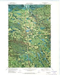
1971 · Kelliher
USGS Topo · 1:24,000
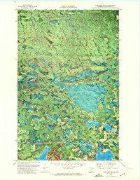
1971 · Northome North
USGS Topo · 1:24,000