Old Maps of Kanabec County, Minnesota for Genealogy
Trace your family roots with 139 historic maps of Kanabec County. These high-res maps reveal old neighborhoods, homesites, landmarks, and streets — helping you uncover where your ancestors lived and how the area evolved over time.
- Explore historic neighborhoods: Identify where your relatives may have lived in the 1800s or 1900s.
- Compare maps over time: Trace the changes in streets, buildings, and landmarks for multi-generational research.
- Perfect for genealogy & ancestry research: Used by family historians and researchers to map out lineage and migration.
These maps are an incredible resource for exploring your personal connection to Kanabec County's past.
Kanabec County, MN maps
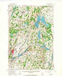
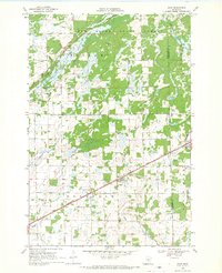
(139)- 1953 Map of Duluth, 1964 Print
 1953 Duluth1964 Print · USGSNortheastern Minnesota and northwestern Wisconsin are shown here during a period of industrial maturity and expanding conservation. Genealogists and historians can trace rail-connected towns like McGrath and Wahkon, or locate heritage sites within the Fond du Lac Indian Reservation.2 unique versions available
 - 1953 Map of Stillwater, 1980 Print
 1953 Stillwater1980 Print · USGSThe Twin Cities and the St. Croix Valley are captured in this mid-century survey as the interstate era began to transform the Upper Midwest. Genealogists and historians can trace the rail-and-river geography of Stillwater, locate landmarks in Anoka, or explore the sprawling St Croix State Park.
 - 1955 Map of Stillwater, 1965 Print
 1955 Stillwater1965 Print · USGSThe Upper St. Croix Valley and the growing Twin Cities area are shown here during the mid-fifties, before the interstate era transformed the regional commute. You can trace the lines of the Northern Pacific RR through towns like Rush City or locate the Saint Croix Indian Reservation.
 - 1958 Map of Stillwater
 1958 Stillwater1958 Print · USGSThe Upper Mississippi and St. Croix River valleys appear in the mid-fifties as the Twin Cities expanded north. Genealogists can locate family landmarks like Oak Park Cem, Saint Michael Church, and the Soo Line RR rail corridors.2 unique versions available
 - 1958 Map of Duluth
 1958 Duluth1958 Print · USGSNortheastern Minnesota and the Wisconsin borderlands are shown in detail during the late 1950s, centered on the bustling rail yards and ports of Duluth. You can trace the historic routes of the Soo Line and Duluth Missabe & Iron Range through small towns like McGrath, Bruno, and Wrenshall.
 - 1961 Map of Cambridge, 1963 Print
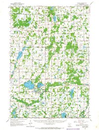
 1961 Cambridge1963 Print · USGSThe lake country of Isanti and Chisago Counties is shown here in the early sixties as it balanced agricultural roots with new institutional growth. Researchers can trace the Great Northern rail line connecting Braham and Cambridge, or locate vanished landmarks like Minnesota Boys Town and the Oak Leaf Grange Hall.
 - 1961 Map of Brook Park, 1963 Print
 1961 Brook Park1963 Print · USGSSettlements along the Great Northern railroad thrived in the early sixties as they served this stretch of Pine and Kanabec counties. Genealogists and historians can trace family locations near the Brook Park Cem, Grasston, and the St Gerard Mission House.2 unique versions available
 - 1961 Map of Springvale, 1963 Print
 1961 Springvale1963 Print · USGSIsanti County farmland and scattered rural communities appear in detail during the early sixties, as the area maintained its traditional agricultural character. Genealogists can locate family landmarks like Siloa Church, Elm Park, and the various cemeteries that served these central Minnesota townships.2 unique versions available
 - 1961 Map of Dalbo, 1963 Print
 1961 Dalbo1963 Print · USGSCentral Minnesota farm country and wetlands are captured here in the early sixties. Genealogists can locate family-named landmarks like Krone Lake and trace community roots at the Salem Cem, North Star Sch, or the Grange Hall.2 unique versions available
 - 1961 Map of Dalbo, 1965 Print
 1961 Dalbo1965 Print · USGSIsanti County in the early 1960s was a landscape of township halls and country schoolhouses centered on the winding Rum River. Genealogists can locate family sites at the Old Wyanett Free Cem, King Cem, and the rural Siloa Ch.
 - 1965 Map of Stillwater
 1965 Stillwater1965 Print · USGSThe Twin Cities and the St. Croix Valley are mapped here during a period of significant post-war growth and industrial transit. Genealogists and historians can trace rail lines like the Northern Pacific RR through towns such as Rush City, Amery, and Balsam Lake.
 - 1968 Map of Milaca NE, 1970 Print
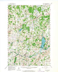
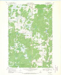
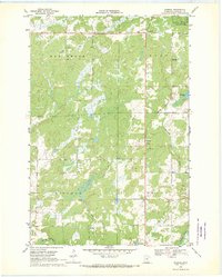
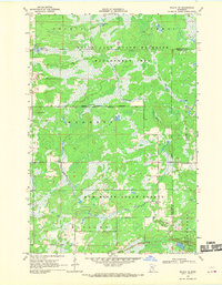 1968 Milaca NE1970 Print · USGSMille Lacs and Kanabec counties are shown in the late sixties as a network of conservation lands and rural outposts. Researchers can trace the locations of the North Fork Sch, the Mille Lacs Lookout Tower, and a local Townhall.
 - 1968 Map of Ann Lake, 1970 Print
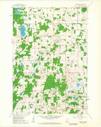
 1968 Ann Lake1970 Print · USGSKanabec County conservation lands are mapped here in the late sixties, highlighting the extensive wetlands and forests of central Minnesota. Researchers can trace the boundaries of the Rum River State Forest or locate early access points like the Boat Ramp at Ann Lake.
 - 1968 Map of Kroschel NW, 1970 Print
 1968 Kroschel NW1970 Print · USGSThe Snake River corridor at the Aitkin and Kanabec county line is captured here in the late sixties, showing a landscape transitioning into protected state forests. Researchers can trace the bounds of Solana State Forest and locate fishing spots at Lake Five and Long Lake.2 unique versions available
 - 1968 Map of Isle SW, 1970 Print
 1968 Isle SW1970 Print · USGSMille Lacs and Kanabec counties are captured in the late sixties as conservation and local industry shaped the land. Researchers can find old resource landmarks like the Isle Harbor Lookout Tower, small-scale extraction sites such as the Quarry, and the winding Knife River.2 unique versions available
 - 1968 Map of Mora North, 1970 Print
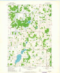
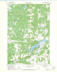
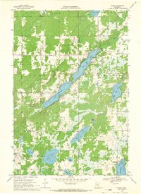
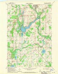
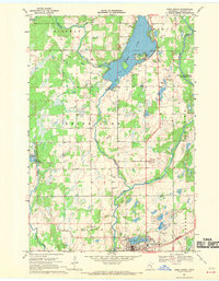 1968 Mora North1970 Print · USGSKanabec County's lake country is captured here in the late sixties as the city of Mora expanded near the shores of Mora Lake. Researchers can locate family landmarks like Hillman Ch, the Knife Lake Cem, and the historic Indian Mounds Park along the water.2 unique versions available
 - 1968 Map of Isle, 1970 Print
 1968 Isle1970 Print · USGSThe southeast corner of Mille Lacs Lake thrived in the late sixties as a crossroads of rail travel and lakeside recreation. Genealogists and local historians can trace the foundations of Isle, find remote country stops like Opstead, and locate family burial sites at Holden Cem and Redtop Cem.
 - 1968 Map of Pomroy Lake, 1970 Print
 1968 Pomroy Lake1970 Print · USGSKanabec County conservation lands and river systems are well-documented in this late 1960s survey. Researchers can locate the Pomroy Union Chapel and trace the winding Snake River past McMullen Lake and Lake Full of Fish.2 unique versions available
 - 1968 Map of Warman, 1970 Print
 1968 Warman1970 Print · USGSCentral Minnesota at the end of the sixties shows a landscape defined by its timbered wetlands and growing stone industry. Local researchers can trace the industrial footprint of Warman through its several Quarries and explore the riparian borders of the Snake River.2 unique versions available
 - 1968 Map of Giese, 1970 Print
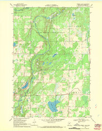
 1968 Giese1970 Print · USGSThe tri-county border of Aitkin, Pine, and Kanabec counties in the late sixties reveals a landscape of deep woods and interconnected glacial lakes. Genealogists and local historians can trace the rural infrastructure of Giese, including the Lakeview Sch, Township Cem, and the winding Pine River.
 - 1968 Map of Princeton NE, 1970 Print
 1968 Princeton NE1970 Print · USGSMille Lacs County in the late sixties reveals a landscape of river bends and reclaimed wetlands shaped by early twentieth-century drainage projects. Genealogists can trace family connections at Wendell Hill Cem or Zion Ch and locate the historic School No 1172.
 - 1968 Map of Kroschel, 1970 Print
 1968 Kroschel1970 Print · USGSThe Kanabec and Pine county line in the late sixties reveals a landscape of wooded wetlands and isolated farmsteads. Genealogists and researchers can locate family sites near Kroschel, St John Ch, and the Trinity Cem along the Grindstone River branches.
 - 1968 Map of Bock, 1970 Print
 1968 Bock1970 Print · USGSIn the late sixties, the rural landscape of Borgholm was anchored by the village of Bock and the Great Northern railway. Researchers can trace historical footprints through landmarks like Borgholm Cem, School No 1156, and several local Townhalls near Bogus Brook.2 unique versions available
 - 1968 Map of Ogilvie, 1970 Print
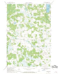
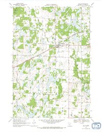 1968 Ogilvie1970 Print · USGSIn the late 1960s, the village of Ogilvie was a central rail stop for the Great Northern line. Genealogists and historians can trace local family landmarks like St Kathryn Cem, Graceland Cem, and the community Townhall.
 - 1968 Map of Mora South, 1970 Print
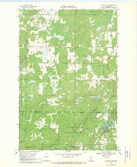
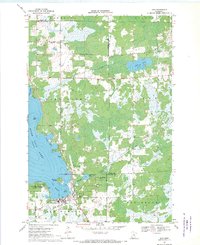
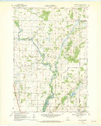
 1968 Mora South1970 Print · USGSThe Snake River valley in Kanabec County comes into focus in this late 1960s record of rural Minnesota life and industry. Genealogists and local historians can trace the foundations of Mora and Brunswick, locating family landmarks like St Marys Cem, Monroe Sch, and the Great Northern railroad tracks.2 unique versions available
Showing maps 1-25 of 139
Top cities of Kanabec County
Frequently asked questions
- What are the different types of historical maps available for Kanabec County?
- What is the oldest map of Kanabec County?
- Where can I purchase historical maps of Kanabec County for my home or office?
- Where can I download high-res historical maps of Kanabec County?
- Are there historical topographic maps available for Kanabec County?
- Is there historical aerial imagery available for Kanabec County?
- Where are historical maps of Kanabec County sourced from?