2000s (21st Century) Maps of Kanabec County, Minnesota
Explore 105 historic maps of Kanabec County from the 2000s (21st Century). These maps offer a rare glimpse into what life looked like during the 2000s — showing old roads, neighborhoods, homes, and landmarks that have changed or disappeared over time.
Whether you're researching your family's past, planning a metal detecting trip, or studying how Kanabec County's landscape evolved across the 2000s, these high-resolution maps are a powerful tool for exploring the history of this region.
- Focus on a specific era: All maps on this page are from the 2000s, giving you a focused view of this time period.
- See what’s changed: Compare century-old streets, trails, and buildings to today's modern landscape using overlays and satellite layers.
- Research with precision: Use these maps for genealogy, historical research, land use analysis, or educational projects.
- View, download, or print: Maps are fully viewable online in high resolution, and can be downloaded or printed for your own records.
Start exploring Kanabec County's history through authentic maps from the 2000s. This is your window into the past.
Kanabec County, MN maps
(105)- 2010 Map of Ogilvie, 2010 Print
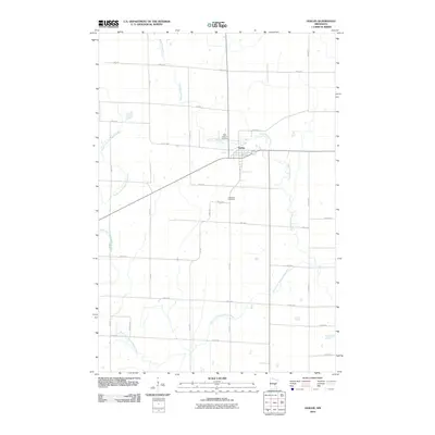 2010 Ogilvie2010 Print · USGSOgilvie and its surrounding Kanabec County farmstead grid are captured here in the first decade of the 2000s. Researchers can locate family sites near Saint Kathryn Cemetery or trace the winding paths of the Groundhouse River and South Fork Groundhouse River.
 - 2010 Map of Braham, 2010 Print
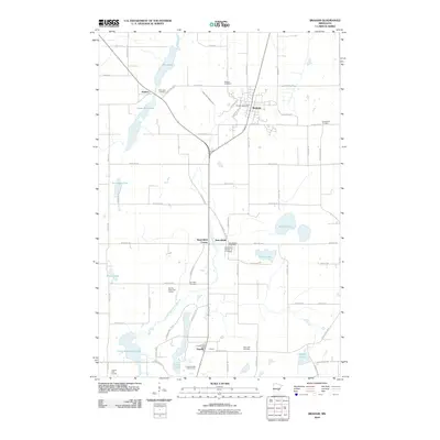 2010 Braham2010 Print · USGSThe rural landscape around Braham and Grandy is documented here in the early twenty-first century as agricultural fields meet a network of glacial lakes. Researchers can trace local heritage through numerous burial sites like Mission Cemetery and Rice Lake Cemetery, or locate old civic centers such as the Stanchfield Post Office.
 - 2010 Map of Mora South, 2010 Print
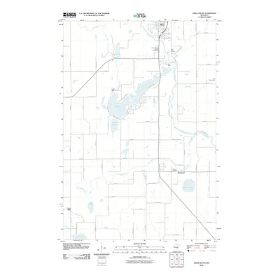 2010 Mora South2010 Print · USGSThe area around Mora and Brunswick is mapped here at the beginning of the twenty-first century, showing the meeting of the Snake and Ann Rivers. Genealogists and local historians can locate Riverside Cemetery, Saint Marys Cemetery, and family-named landmarks like the Gus Herwig Dam.
 - 2010 Map of Ann Lake, 2010 Print
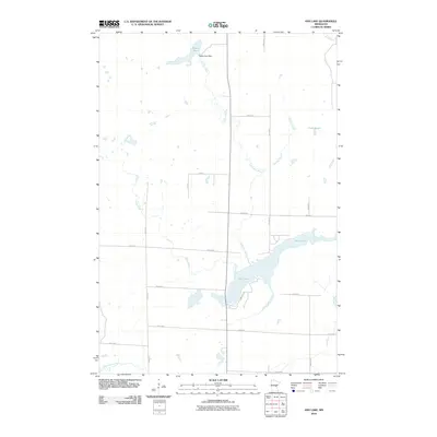 2010 Ann Lake2010 Print · USGSMille Lacs County is captured here in the early 2000s, showing a landscape defined by the drainage of the Ann River and its tributaries. Researchers can trace the rural road grid and identify key water features like the Dewitt Pool Dam and Lake Seven.
 - 2010 Map of Brook Park, 2010 Print
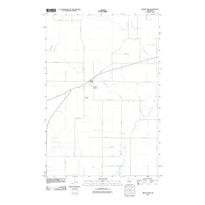 2010 Brook Park2010 Print · USGSBrook Park and the surrounding Pine County woodlands are captured here in the early twenty-first century as the landscape transitioned toward modern rural residential use. Researchers can locate family sites near the Brook Park Cemetery and trace the many branches of Pokegama Creek.
 - 2010 Map of Princeton NE, 2010 Print
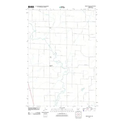 2010 Princeton NE2010 Print · USGSMille Lacs County is documented here in the early twenty-first century as the Rum River winds through a landscape of family homesteads and rural cemeteries. Genealogists can locate Wendell Hill Cemetery and Pilgrims Rest Cemetery amidst the waters of Bogus Brook.
 - 2010 Map of Quamba, 2010 Print
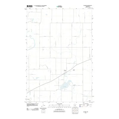 2010 Quamba2010 Print · USGSThe rural landscape of Kanabec County is captured here in the early twenty-first century, centered on the small community of Quamba. Genealogists and local historians can locate the Henriette Cemetery or trace the water levels around Mud Lake Dam and Luchts Lake.
 - 2010 Map of Dalbo, 2010 Print
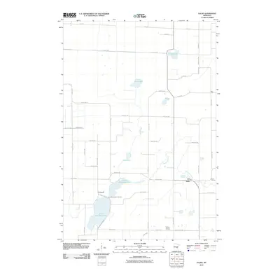 2010 Dalbo2010 Print · USGSIsanti County's rural townships are shown here in the early twenty-first century, a landscape of quiet lakefronts and crossroads settlements. Researchers can locate family heritage sites at Salem Cemetery or trace the waters of South Stanchfield Lake near Carmody.
 - 2010 Map of Milaca NE, 2010 Print
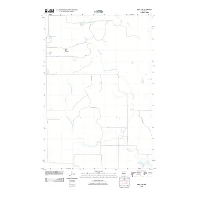 2010 Milaca NE2010 Print · USGSThe Mille Lacs County wetlands and timberlands are captured here during a period of modern forest and water management. Researchers can trace the winding Groundhouse River and locate specific landmarks like the Mille Lacs Lookout Tower and William Mills Pond Dam.
 - 2010 Map of Mora North, 2010 Print
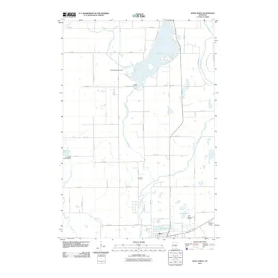 2010 Mora North2010 Print · USGSMora and the surrounding lake country are documented here in the early twenty-first century as the town expanded near the Snake River. Researchers can locate the Knife Lake Cemetery or trace water levels at the Carda Impoundment Dam and Knife Lake Dam.
 - 2010 Map of Grasston, 2010 Print
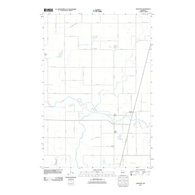 2010 Grasston2010 Print · USGSNear the banks of the Snake River, this 2010 survey shows the rural communities of Grasston and Grass Lake during a period of modern agricultural stability. Genealogists and local historians can locate the Grasston Union Cemetery, Grass Lake Cemetery, and landmarks like the Gus Herwig Dam.
 - 2010 Map of Springvale, 2010 Print
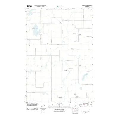 2010 Springvale2010 Print · USGSSpringvale and the surrounding Isanti County countryside are shown here in the early twenty-first century, characterized by its network of rural cemeteries and creek-fed lakes. Family historians can locate specific sites like Siloa Lutheran Cemetery, the settlement at Coin, and the winding path of Stanchfield Creek.
 - 2010 Map of Kroschel, 2010 Print
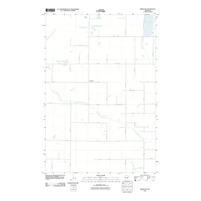 2010 Kroschel2010 Print · USGSEastern Kanabec County is mapped here during the early 2000s, showing a quiet agricultural landscape woven together by the Grindstone River. Genealogists and local historians can trace family land around Kroschel or locate the Trinity Cemetery and Grindstone Lake.
 - 2010 Map of Isle, 2010 Print
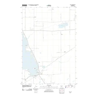 2010 Isle2010 Print · USGSThe southeastern shores of Mille Lacs Lake are captured here in the early 21st century. Genealogists and historians can trace the town of Isle, the old railroad grade now known as the Soo Line Trl, and local burials at Holden Cemetery or Redtop Cemetery.
 - 2010 Map of Pomroy Lake, 2010 Print
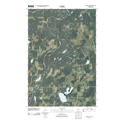 2010 Pomroy Lake2010 Print · USGSFord Township and the surrounding Kanabec County wetlands are captured here in the early twenty-first century. Researchers can trace rural property access and water features like Pomroy Lake, Lake Full of Fish, and the winding Snake River.
 - 2010 Map of Kroschel NW, 2010 Print
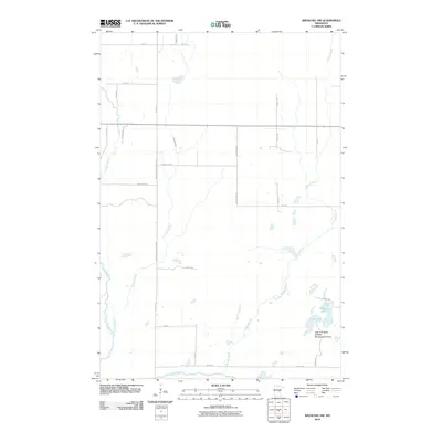 2010 Kroschel NW2010 Print · USGSKanabec County's rural northern reaches are defined here by the winding Snake River and its network of glacial brooks. Outdoor historians and researchers can trace the boundaries of the Lake Five State Wildlife Management Area and the secluded waters of Lake Five and Long Lake.
 - 2010 Map of Isle SW, 2010 Print
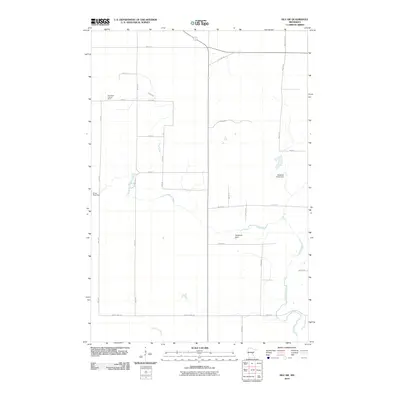 2010 Isle SW2010 Print · USGSMille Lacs County is documented here during the early twenty-first century, showing a landscape of managed waterways and rural road networks. Genealogists and local historians can trace family land via Woods Rd and locate landmarks like the Isle Harbor Lookout Tower.
 - 2010 Map of Warman, 2010 Print
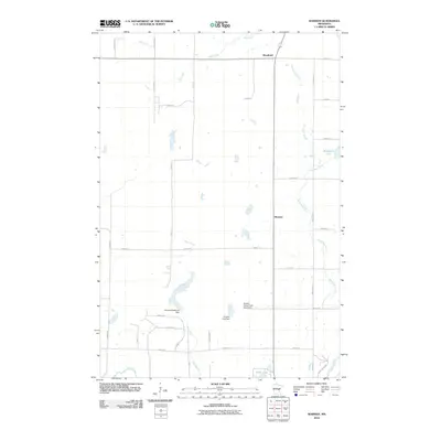 2010 Warman2010 Print · USGSKanabec County, Minnesota, is captured here in the early 21st century as a landscape of rural farmsteads and winding waterways. Genealogists and local historians can trace family-named water control points like the Emanuel Bachman Dam or the Forshier Pool Dam near the settlements of Warman and Woodland.
 - 2010 Map of McGrath, 2010 Print
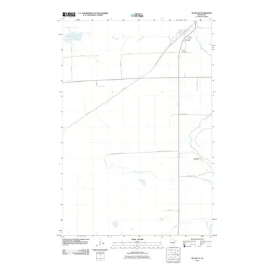 2010 McGrath2010 Print · USGSAitkin County’s quiet transition from rail hub to recreation is visible in this 2010 study of McGrath. Researchers can trace the path of the Soo Line Trl, locate the Grace Cemetery, and explore the riverbanks of the Snake River County Park.
 - 2010 Map of Bock, 2010 Print
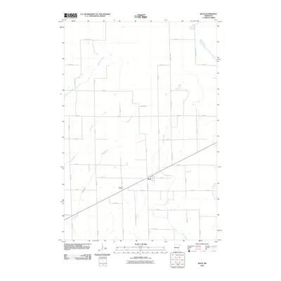 2010 Bock2010 Print · USGSBock and its surrounding Mille Lacs County farmsteads are documented here in the early twenty-first century. Family history researchers can locate Borgholm Cemetery and trace the paths of Bogus Brook and Vondell Brook through the rural landscape.
 - 2010 Map of Giese, 2010 Print
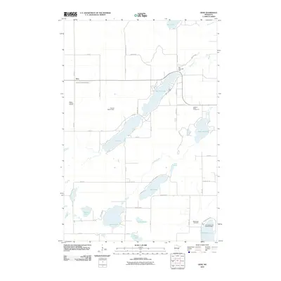 2010 Giese2010 Print · USGSPine County's lake-dotted interior is captured here as it appeared in 2010, showing the rural settlement of Giese and its surrounding water systems. Researchers can locate family sites near the Immanuel Lutheran Cemetery or trace the shoreline from Big Pine Lake to the Grindstone Lake Seaplane Base.
 - 2013 Map of Kroschel, 2013 Print
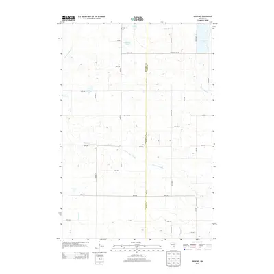 2013 Kroschel2013 Print · USGSThe rural landscape of Kroschel and the surrounding township are captured here during the early twenty-first century. Researchers can trace family roots at Trinity Cem or locate land near White Lily Lake and the S Br Grindstone River.
 - 2013 Map of Isle SW, 2013 Print
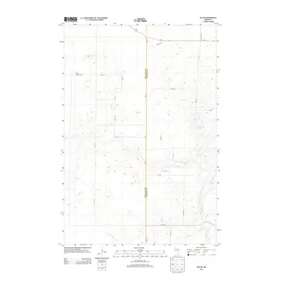 2013 Isle SW2013 Print · USGSMille Lacs and Kanabec counties are shown here in the early 2010s, defined by the winding Knife River and rural township grids. Researchers can locate specific water features like Bergstedt Dam or the historic Isle Harbor Lookout Tower.
 - 2013 Map of Pomroy Lake, 2013 Print
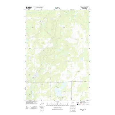 2013 Pomroy Lake2013 Print · USGSFord Township was characterized by its dense network of waterways and glacial lakes in the early 2010s. Researchers can trace the winding course of the Snake River and locate seasonal landmarks like Lake Full of Fish and McMullen Lake.
 - 2013 Map of Kroschel NW, 2013 Print
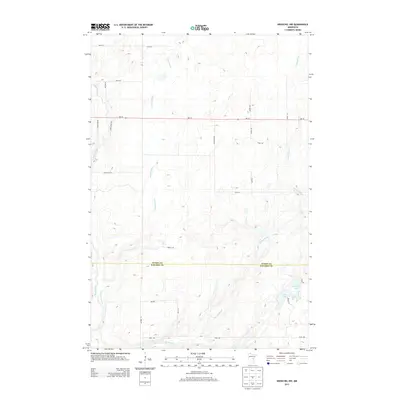 2013 Kroschel NW2013 Print · USGSThe Aitkin and Kanabec county line bisects this quiet rural landscape in the early 2010s. Researchers can trace the meandering course of the Snake River and its tributaries, Cowans Brook and Chelsey Brook, alongside local landmarks like Lake Five and Long Lake.
Showing maps 1-25 of 105
Top cities of Kanabec County
Frequently asked questions
- What are the different types of historical maps available for Kanabec County?
- What is the oldest map of Kanabec County?
- Where can I purchase historical maps of Kanabec County for my home or office?
- Where can I download high-res historical maps of Kanabec County?
- Are there historical topographic maps available for Kanabec County?
- Is there historical aerial imagery available for Kanabec County?
- Where are historical maps of Kanabec County sourced from?