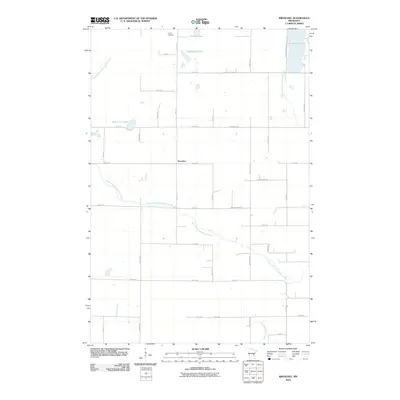
2010 Map of Kroschel
USGS Topo · Published 2010About this map
Kroschel and its surrounding township landscape are defined by a network of rural routes and the meandering paths of the South Branch Grindstone River. This 2010 survey illustrates a region largely shaped by its glacial hydrology, with numerous basins like Grindstone Lake and Thirteen Lake dotting the northern reaches. The settlement pattern follows a rigid section-line grid, visible in the layout of local roads such as Velvet St and 340th Ave, which connect isolated homesteads and farmland. Cultural markers are sparse but significant, most notably the Trinity Cemetery located in the northwest corner near the township boundary. The landscape transitions from the river valleys of the North Branch Grindstone River to the drainage areas of Pokegama Creek in the south, reflecting the quiet, agricultural character of Kanabec County in the early 21st century.
Find a feature on this map
41 named features on this map. Tap any name to fly to it.
Don’t see what you’re looking for? This feature index may not catch every label — zoom into the map to look around manually.
Map Details
Editions of this 2010 Kroschel Map
This is the sole edition of this map. No revisions or reprints were ever made.
Other maps of this area

1953 · Duluth
USGS Topo · 1:250,000

1953 · Stillwater
USGS Topo · 1:250,000

1955 · Stillwater
USGS Topo · 1:250,000

1958 · Stillwater
USGS Topo · 1:250,000

1958 · Duluth
USGS Topo · 1:250,000

1961 · Sandstone
USGS Topo · 1:62,500

1961 · Brook Park
USGS Topo · 1:62,500

1961 · Pine City
USGS Topo · 1:62,500

1965 · Stillwater
USGS Topo · 1:250,000

1968 · Kroschel NW
USGS Topo · 1:24,000