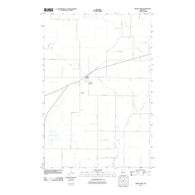
2010 Map of Brook Park
USGS Topo · Published 2010About this map
Brook Park serves as the central hub of this northern landscape, where the intersection of Monument Rd and Old Hwy 23 marks the community core. The geography is defined by the winding course of Pokegama Creek and its tributary, East Pokegama Creek, which meander southward toward the shores of Pokegama Lake at the bottom of the quadrangle.
Find a feature on this map
30 named features on this map. Tap any name to fly to it.
Don’t see what you’re looking for? This feature index may not catch every label — zoom into the map to look around manually.
Map Details
Editions of this 2010 Brook Park Map
This is the sole edition of this map. No revisions or reprints were ever made.
Other maps of this area

1953 · Duluth
USGS Topo · 1:250,000

1953 · Stillwater
USGS Topo · 1:250,000

1955 · Stillwater
USGS Topo · 1:250,000

1958 · Stillwater
USGS Topo · 1:250,000

1958 · Duluth
USGS Topo · 1:250,000

1961 · Sandstone
USGS Topo · 1:62,500

1961 · Brook Park
USGS Topo · 1:62,500

1961 · Pine City
USGS Topo · 1:62,500

1965 · Stillwater
USGS Topo · 1:250,000

1968 · Pomroy Lake
USGS Topo · 1:24,000