Old Maps of Hay Brook Township, Minnesota
Explore 27 old maps of Hay Brook Township, spanning from 1953 to today. These high-resolution historic maps reveal how streets, neighborhoods, landmarks, and natural features evolved over time — perfect for genealogy, metal detecting, research, and local history exploration.
What you can do with these maps:
- See how Hay Brook Township changed over time: Compare historical maps to modern-day views to trace roads, homesites, rail lines & more.
- View detailed metadata: Each map includes creators, publishers, year, scale, and archive source.
- Overlay maps with satellite & LiDAR: Visualize the past alongside modern tools to explore terrain & human change.
- Trusted historical sources: Maps sourced from the USGS, Library of Congress, and other archives.
- Access maps your way: View online, download high-res files, or order prints for personal or research use.
Start exploring old maps of Hay Brook Township to uncover forgotten places, hidden landmarks, and the deep history beneath your feet.
Hay Brook Township, MN maps
(27)- 1953 Map of Duluth, 1964 Print
 1953 Duluth1964 Print · USGSNortheastern Minnesota and northwestern Wisconsin are shown here during a period of industrial maturity and expanding conservation. Genealogists and historians can trace rail-connected towns like McGrath and Wahkon, or locate heritage sites within the Fond du Lac Indian Reservation.2 unique versions available
 - 1958 Map of Duluth
 1958 Duluth1958 Print · USGSNortheastern Minnesota and the Wisconsin borderlands are shown in detail during the late 1950s, centered on the bustling rail yards and ports of Duluth. You can trace the historic routes of the Soo Line and Duluth Missabe & Iron Range through small towns like McGrath, Bruno, and Wrenshall.
 - 1968 Map of Isle SW, 1970 Print
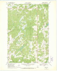
 1968 Isle SW1970 Print · USGSMille Lacs and Kanabec counties are captured in the late sixties as conservation and local industry shaped the land. Researchers can find old resource landmarks like the Isle Harbor Lookout Tower, small-scale extraction sites such as the Quarry, and the winding Knife River.2 unique versions available
 - 1968 Map of Isle, 1970 Print
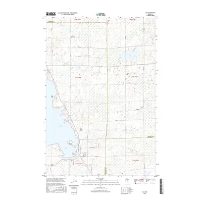
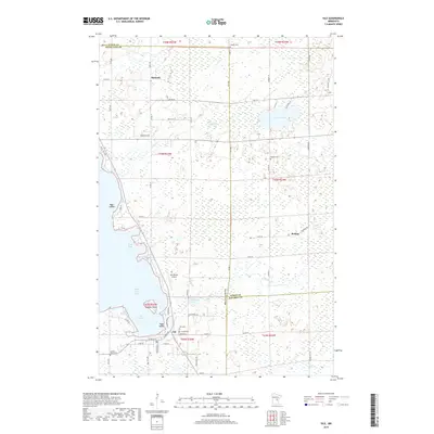
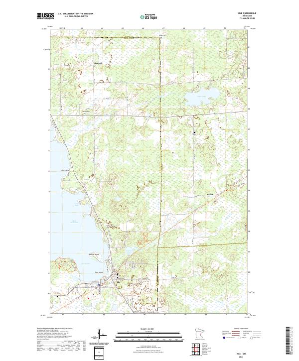
 1968 Isle1970 Print · USGSThe southeast corner of Mille Lacs Lake thrived in the late sixties as a crossroads of rail travel and lakeside recreation. Genealogists and local historians can trace the foundations of Isle, find remote country stops like Opstead, and locate family burial sites at Holden Cem and Redtop Cem.
 - 1968 Map of Warman, 1970 Print
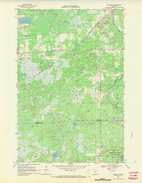
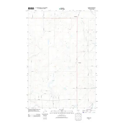
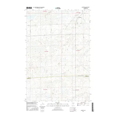
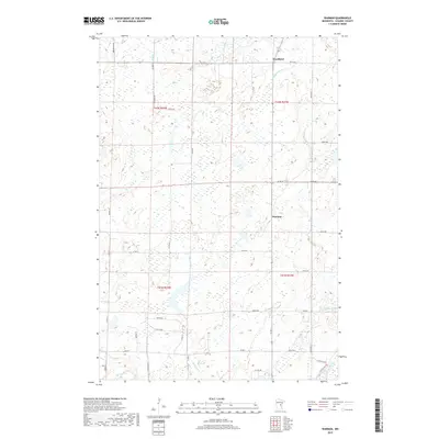
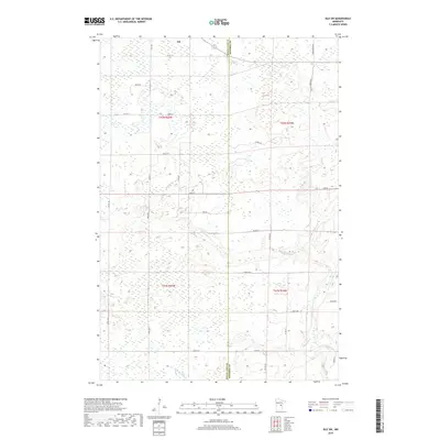
 1968 Warman1970 Print · USGSCentral Minnesota at the end of the sixties shows a landscape defined by its timbered wetlands and growing stone industry. Local researchers can trace the industrial footprint of Warman through its several Quarries and explore the riparian borders of the Snake River.2 unique versions available
 - 1968 Map of Mc Grath, 1970 Print
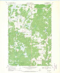
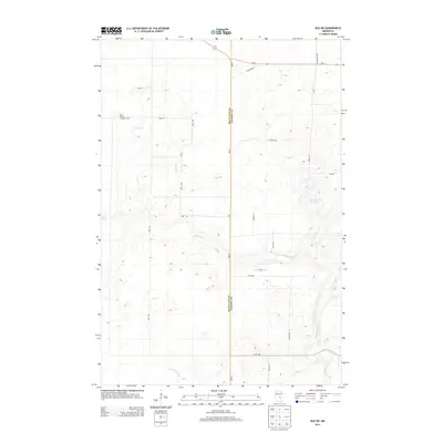
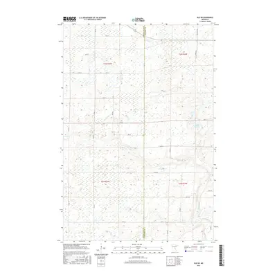
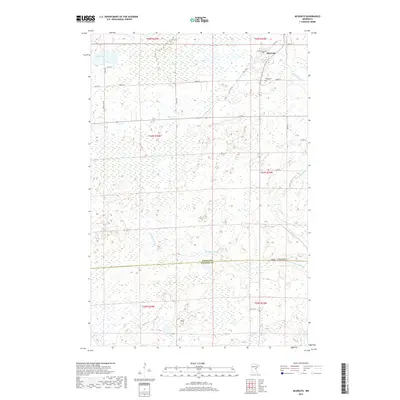
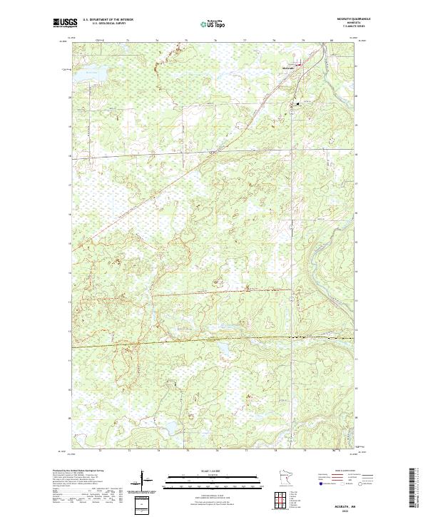
 1968 Mc Grath1970 Print · USGSAitkin and Kanabec County in the late 1960s reveal a quiet landscape of wetlands and river bends centered on the SOO LINE railroad. Local researchers can trace family landmarks at Grace Cem or explore the early footprints of McGrath and Bergman.2 unique versions available
 - 1985 Map of Mille Lacs Lake
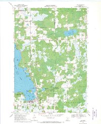
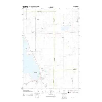
 1985 Mille Lacs Lake1985 Print · USGSMille Lacs Lake and its surrounding settlements are shown in the mid-1980s as a hub of lake-shore recreation and rail commerce. Researchers can trace historic transport lines like the Soo Line and locate communities such as Wahkon and Garrison.2 unique versions available
 - 2010 Map of Isle, 2010 Print
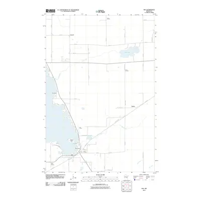 2010 Isle2010 Print · USGSCovers Hay Brook Township, including Isle, Idun Township, and other nearby areas
 - 2010 Map of Isle SW, 2010 Print
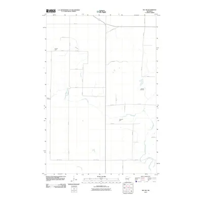 2010 Isle SW2010 Print · USGSCovers Hay Brook Township, including Isle, Lewis Township, and other nearby areas
 - 2010 Map of Warman, 2010 Print
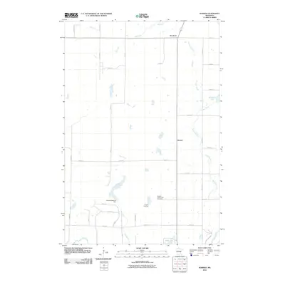 2010 Warman2010 Print · USGSCovers Hay Brook Township, including Ford Township, Hillman Township, and other nearby areas
 - 2010 Map of McGrath, 2010 Print
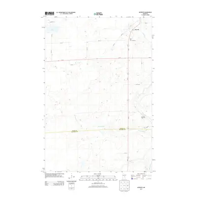
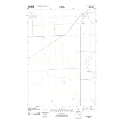 2010 McGrath2010 Print · USGSCovers Hay Brook Township, including McGrath, Idun Township, and other nearby areas
 - 2013 Map of Isle SW, 2013 Print
 2013 Isle SW2013 Print · USGSCovers Hay Brook Township, including Isle, Lewis Township, and other nearby areas
 - 2013 Map of McGrath, 2013 Print
 2013 McGrath2013 Print · USGSCovers Hay Brook Township, including McGrath, Idun Township, and other nearby areas
 - 2013 Map of Isle, 2013 Print
 2013 Isle2013 Print · USGSCovers Hay Brook Township, including Isle, Idun Township, and other nearby areas
 - 2013 Map of Warman, 2013 Print
 2013 Warman2013 Print · USGSCovers Hay Brook Township, including Ford Township, Hillman Township, and other nearby areas
 - 2016 Map of Isle, 2016 Print
 2016 Isle2016 Print · USGSCovers Hay Brook Township, including Isle, Idun Township, and other nearby areas
 - 2016 Map of Isle SW, 2016 Print
 2016 Isle SW2016 Print · USGSCovers Hay Brook Township, including Isle, Lewis Township, and other nearby areas
 - 2016 Map of McGrath, 2016 Print
 2016 McGrath2016 Print · USGSCovers Hay Brook Township, including McGrath, Idun Township, and other nearby areas
 - 2016 Map of Warman, 2016 Print
 2016 Warman2016 Print · USGSCovers Hay Brook Township, including Ford Township, Hillman Township, and other nearby areas
 - 2019 Map of Warman, 2019 Print
 2019 Warman2019 Print · USGSCovers Hay Brook Township, including Ford Township, Hillman Township, and other nearby areas
 - 2019 Map of Isle, 2019 Print
 2019 Isle2019 Print · USGSCovers Hay Brook Township, including Isle, Idun Township, and other nearby areas
 - 2019 Map of Isle SW, 2019 Print
 2019 Isle SW2019 Print · USGSCovers Hay Brook Township, including Isle, Lewis Township, and other nearby areas
 - 2019 Map of McGrath, 2019 Print
 2019 McGrath2019 Print · USGSCovers Hay Brook Township, including McGrath, Idun Township, and other nearby areas
 - 2022 Map of McGrath, 2022 Print
 2022 McGrath2022 Print · USGSMcGrath and the surrounding wetlands are shown here in the early 2020s, centered on the junction of regional trails and watercourses. Genealogists and hikers can locate Grace Cem or trace the Soo Line South: Aitkin Trl as it passes through town near the Snake River.
 - 2022 Map of Isle, 2022 Print
 2022 Isle2022 Print · USGSThe southeastern shore of Mille Lacs Lake and the town of Isle are captured here in a period of modern transition. Trace the path of the Soo Line South: Aitkin Trl or locate family roots at Faith Lutheran Cem, Redtop Cem, and Holden Cem.
Showing maps 1-25 of 27
Top cities near Hay Brook Township
- Mora historical maps
- Isle historical maps
- Malmo historical maps
- Wahkon historical maps
- Quamba historical maps
- McGrath historical maps
Frequently asked questions
- What are the different types of historical maps available for Hay Brook Township?
- What is the oldest map of Hay Brook Township?
- Where can I purchase historical maps of Hay Brook Township for my home or office?
- Where can I download high-res historical maps of Hay Brook Township?
- Are there historical topographic maps available for Hay Brook Township?
- Is there historical aerial imagery available for Hay Brook Township?
- Where are historical maps of Hay Brook Township sourced from?