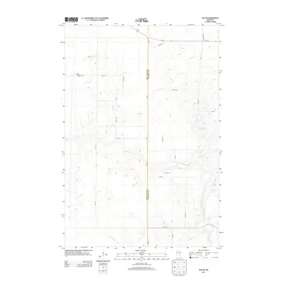
2013 Map of Isle SW
USGS Topo · Published 2013About this map
Knife River meanders across this rural landscape straddling the border of Mille Lacs and Kanabec counties. The terrain is defined by its water management and forestry infrastructure, most notably the Isle Harbor Lookout Tower positioned in the northwestern quadrant. Water resources are central to the area's layout, featuring the Bergstedt Dam and significant basins like the Louis Richards Reservoir and Ernst Pool. The road network follows a rigid grid typical of midwestern agricultural development, intersected by state routes MN-47 and MN-27. Genealogists and local historians can trace the paths of established rural corridors such as Old Hwy 66 and Munkelwitz Rd, which provide a clear view of the land divisions and drainage patterns near the Little Ann River in the southern reaches of the quadrangle.
Find a feature on this map
24 named features on this map. Tap any name to fly to it.
Don’t see what you’re looking for? This feature index may not catch every label — zoom into the map to look around manually.
Map Details
Editions of this 2013 Isle SW Map
This is the sole edition of this map. No revisions or reprints were ever made.
Other maps of this area

1953 · Duluth
USGS Topo · 1:250,000

1953 · Stillwater
USGS Topo · 1:250,000

1955 · Stillwater
USGS Topo · 1:250,000

1958 · Stillwater
USGS Topo · 1:250,000

1958 · Duluth
USGS Topo · 1:250,000

1965 · Stillwater
USGS Topo · 1:250,000

1968 · Milaca NE
USGS Topo · 1:24,000

1968 · Ann Lake
USGS Topo · 1:24,000

1968 · Isle SW
USGS Topo · 1:24,000

1968 · Wahkon North
USGS Topo · 1:24,000