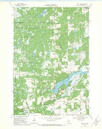
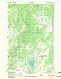
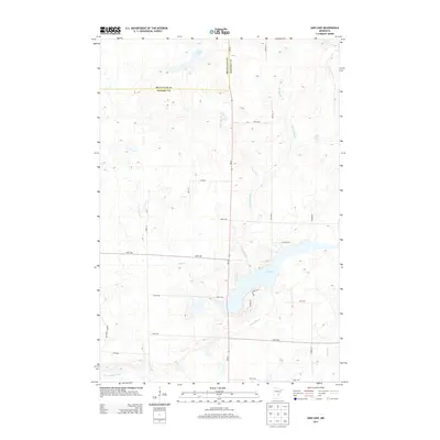
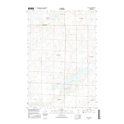
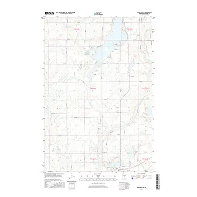
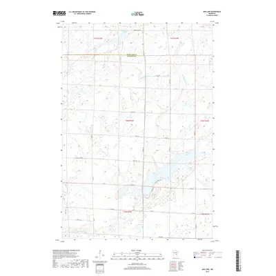
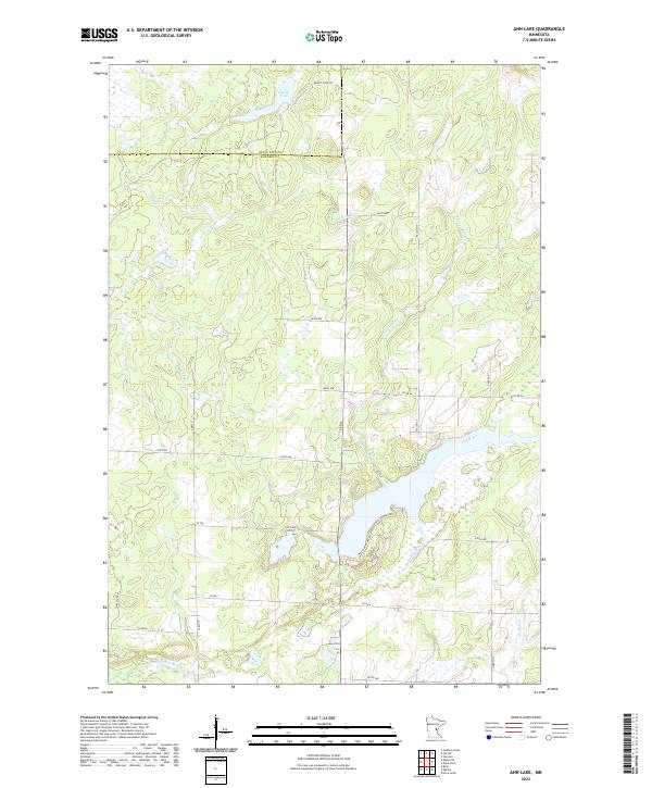
1968 Map of Ann Lake
USGS Topo · Published 1970About this map
Ann Lake and its surrounding wetlands form the center of this conservation-focused landscape on the border of Mille Lacs and Kanabec counties. The late 1960s terrain is defined by large-scale public land management, including the Mille Lacs State Wildlife Management Area and the Ann Lake State Wildlife Management Area. Water dominates the hydrology of the region, with the Little Ann River and Spring Brook feeding into the lake, while the Groundhouse River and Knife River cut through the timbered sections of Arthur and Hillman.
Find a feature on this map
20 named features on this map. Tap any name to fly to it.
Don’t see what you’re looking for? This feature index may not catch every label — zoom into the map to look around manually.
Map Details
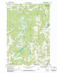
Editions of this 1968 Ann Lake Map
This is the sole edition of this map. No revisions or reprints were ever made.
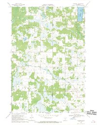
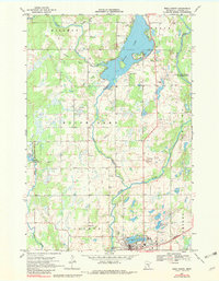
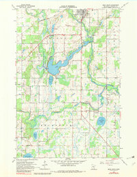
Historical Maps of Kanabec Township Through Time
36 maps found
1968 Ann Lake
Kanabec County, MN
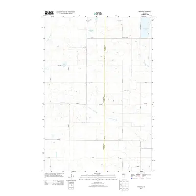
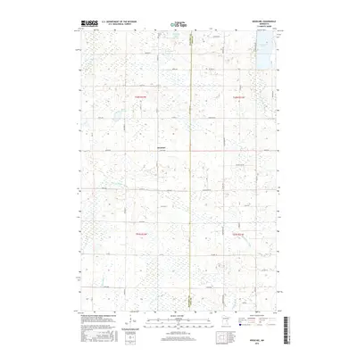
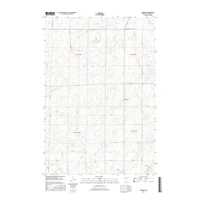
1968 Kroschel
Kanabec County, MN
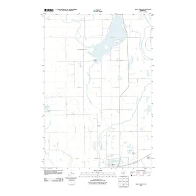
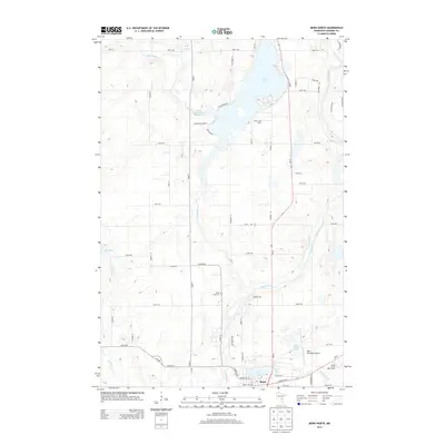
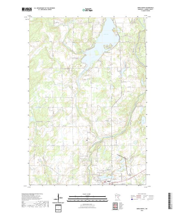
1968 Mora North
Kanabec County, MN
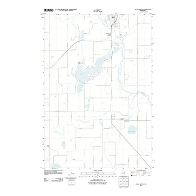
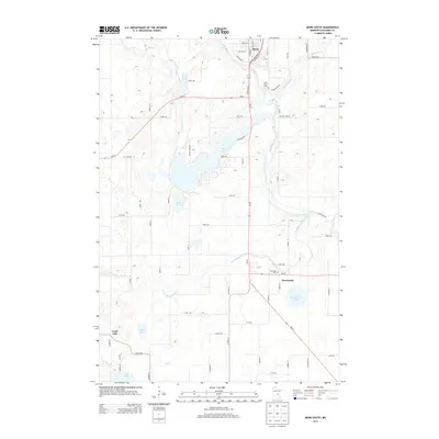
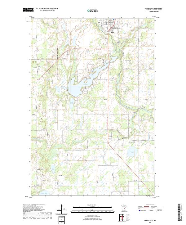
1968 Mora South
Kanabec County, MN
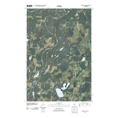
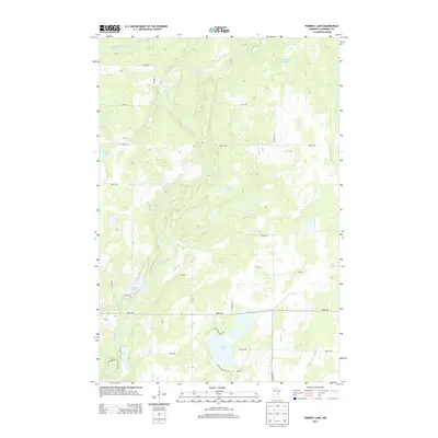
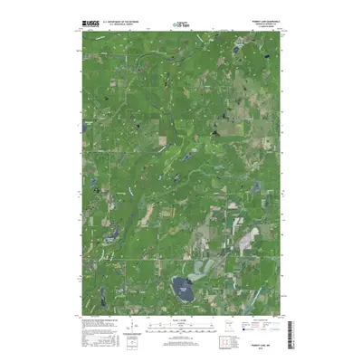
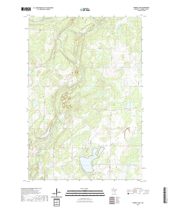
1968 Pomroy Lake
Kanabec County, MN
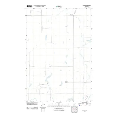
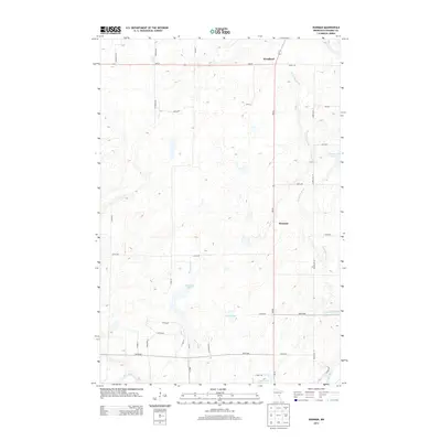
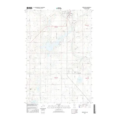
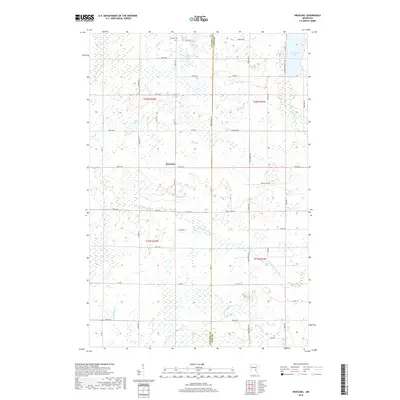
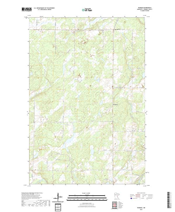
1968 Warman
Kanabec County, MN
2010 Ann Lake
Kanabec County, MN
2010 Kroschel
Kanabec County, MN
2010 Mora North
Kanabec County, MN
2010 Mora South
Kanabec County, MN
2010 Pomroy Lake
Kanabec County, MN
2010 Warman
Kanabec County, MN
2013 Ann Lake
Kanabec County, MN
2013 Kroschel
Kanabec County, MN
2013 Mora North
Kanabec County, MN
2013 Mora South
Kanabec County, MN
2013 Pomroy Lake
Kanabec County, MN
2013 Warman
Kanabec County, MN
2016 Ann Lake
Kanabec County, MN
2016 Kroschel
Kanabec County, MN
2016 Mora North
Kanabec County, MN
2016 Mora South
Kanabec County, MN
2016 Pomroy Lake
Kanabec County, MN
2016 Warman
Kanabec County, MN
2019 Ann Lake
Kanabec County, MN
2019 Kroschel
Kanabec County, MN
2019 Mora North
Kanabec County, MN
2019 Mora South
Kanabec County, MN
2019 Pomroy Lake
Kanabec County, MN
2019 Warman
Kanabec County, MN
2022 Ann Lake
Kanabec County, MN
2022 Kroschel
Kanabec County, MN
2022 Mora North
Kanabec County, MN
2022 Mora South
Kanabec County, MN
2022 Pomroy Lake
Kanabec County, MN
2022 Warman
Kanabec County, MN
Featured Locations
- Lewis Township, MN
- Hillman Township, MN
- Kanabec Township, MN
- Knife Lake Township, MN
- Arthur Township, MN