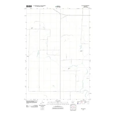
2010 Map of Isle SW
USGS Topo · Published 2010About this map
The Knife River winds through this rural Mille Lacs County landscape, serving as a central geographic corridor just south of Isle Harbor. In this 2010 survey, the land is defined by a grid of agricultural and forest access roads including Red Rd and Munkelwitz Rd, which frame various water management and conservation features. Several small water control structures are mapped here, including Richards Pond Dam, Ernst Pool Dam, and Bergstedt Dam, indicating a managed hydrologic environment. A prominent local landmark, the Isle Harbor Lookout Tower, stands near the northern boundary, reflecting the area's history of forest fire monitoring. To the south, the Little Ann River crosses the terrain near County Hwy-26, providing further drainage for the low-lying prairie and woodland mix that characterizes this portion of central Minnesota.
Find a feature on this map
27 named features on this map. Tap any name to fly to it.
Don’t see what you’re looking for? This feature index may not catch every label — zoom into the map to look around manually.
Map Details
Editions of this 2010 Isle SW Map
This is the sole edition of this map. No revisions or reprints were ever made.
Other maps of this area

1953 · Duluth
USGS Topo · 1:250,000

1953 · Stillwater
USGS Topo · 1:250,000

1955 · Stillwater
USGS Topo · 1:250,000

1958 · Stillwater
USGS Topo · 1:250,000

1958 · Duluth
USGS Topo · 1:250,000

1965 · Stillwater
USGS Topo · 1:250,000

1968 · Milaca NE
USGS Topo · 1:24,000

1968 · Ann Lake
USGS Topo · 1:24,000

1968 · Isle SW
USGS Topo · 1:24,000

1968 · Wahkon North
USGS Topo · 1:24,000