Old Maps of Robbin, Minnesota for Hiking & Exploration
Hike through history with 13 historic maps of Robbin. Explore old trails, ghost towns, and forgotten backroads — perfect for outdoor adventurers and local explorers.
- Rediscover forgotten places: Map out old mining camps, roads, and footpaths that no longer exist on modern maps.
- Layer with modern tools: Combine with LiDAR or satellite views to plan hikes through historical terrain.
- Made for exploration: Popular among hikers, overlanders, and local history lovers.
Use these maps to find adventure and explore the hidden past of Robbin.
Robbin, MN maps
(13)- 1939 Map of Drayton, 1954 Print
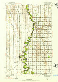 1939 Drayton1954 Print · USGSThe Red River valley at the onset of the Second World War shows a landscape defined by tight river bends and a thriving railroad economy. Genealogists and local historians can trace family locations near dozens of rural schools and churches like Daymon Sch, Tabitha Ch, and the settlement of Bowesmont.2 unique versions available
 - 1941 Map of Drayton
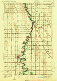 1941 Drayton1941 Print · USGSThe Red River of the North snakes across the border of North Dakota and Minnesota during the late 1930s. Genealogists and historians can trace rail-side towns like Bowesmont and Drayton, or locate rural landmarks such as Skjeberg Ch and the Airway Beacon.2 unique versions available
 - 1952 Map of Thief River Falls, 1967 Print
 1952 Thief River Falls1967 Print · USGSThe Red River Valley's agricultural and conservation landscape is captured in the mid-1950s, detailing a web of rail lines and international border crossings. Researchers can trace family roots in towns like Thief River Falls, locate the State School for Blind, and survey landmarks like the Agassiz National Wildlife Refuge.2 unique versions available
 - 1956 Map of Thief River Falls
 1956 Thief River Falls1956 Print · USGSThe Red River Valley in the mid-1950s is captured here as a sprawling network of rail corridors and wildlife refuges along the Canadian border. Trace the vanished transport routes of the Dismantled railroad and Abandoned railroad or locate local landmarks like the Herrick Elevator and State School for Blind.
 - 1957 Map of Thief River Falls
 1957 Thief River Falls1957 Print · USGSThe Red River Valley in the mid-fifties is captured here as a thriving network of rail towns and conservation lands. Genealogists and historians can trace family roots through settlements like Grafton, Pembina, and Hallock, or locate landmarks such as the State School for Blind and the Great Northern RR corridor.
 - 1967 Map of Thief River Falls
 1967 Thief River Falls1967 Print · USGSThe Red River Valley and the international border come alive in the 1960s, showing a landscape shaped by major rail lines and river commerce. Genealogists and historians can trace the paths of the Great Northern and Soo Line through towns like Thief River Falls, Grafton, and Hallock.
 - 1971 Map of Drayton, 1973 Print
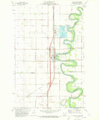 1971 Drayton1973 Print · USGSThe Red River valley in the early 1970s reveals a landscape of fertile farmland and river-dependent industry. Researchers can trace the rail lines of the Burlington Northern through Drayton and locate family landmarks like Drayton Cem and Herrick.2 unique versions available
 - 1985 Map of Cavalier
 1985 Cavalier1985 Print · USGSThe Red River Valley and the international border meet in this mid-1980s look at the drainage and rail networks of Northeast North Dakota. Trace the paths of the Burlington Northern and Soo Line through border towns like Neche, Pembina, and Noyes.2 unique versions available
 - 2011 Map of Drayton, 2011 Print
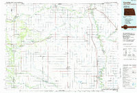
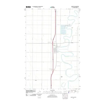 2011 Drayton2011 Print · USGSCovers Robbin, including Drayton, Herrick, and other nearby areas
 - 2014 Map of Drayton, 2014 Print
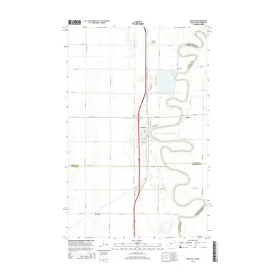 2014 Drayton2014 Print · USGSCovers Robbin, including Drayton, Herrick, and other nearby areas
 - 2017 Map of Drayton, 2017 Print
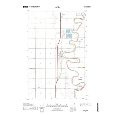 2017 Drayton2017 Print · USGSCovers Robbin, including Drayton, Herrick, and other nearby areas
 - 2020 Map of Drayton, 2020 Print
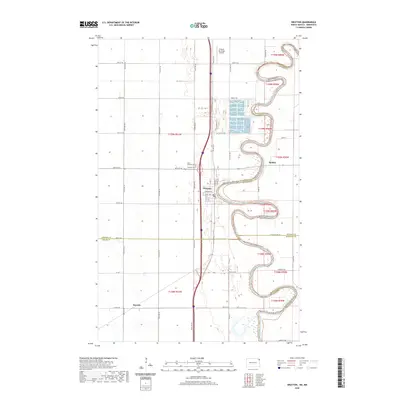 2020 Drayton2020 Print · USGSCovers Robbin, including Drayton, Herrick, and other nearby areas
 - 2024 Map of Drayton, 2024 Print
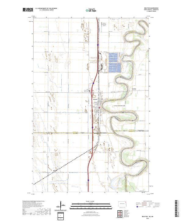 2024 Drayton2024 Print · USGSThe Red River Valley's winding borderlands are shown in great detail here, centering on the city of Drayton and its vital river bends. Researchers can trace local heritage at Saint Edward Cem or locate the outlying settlements of Robbin and Herrick.
End of results
Showing maps 1-13 of 13
Top cities near Robbin
Frequently asked questions
- What are the different types of historical maps available for Robbin?
- What is the oldest map of Robbin?
- Where can I purchase historical maps of Robbin for my home or office?
- Where can I download high-res historical maps of Robbin?
- Are there historical topographic maps available for Robbin?
- Is there historical aerial imagery available for Robbin?
- Where are historical maps of Robbin sourced from?