Old Maps of Hendrickson Landing, Minnesota for Genealogy
Trace your family roots with 11 historic maps of Hendrickson Landing. These high-res maps reveal old neighborhoods, homesites, landmarks, and streets — helping you uncover where your ancestors lived and how the area evolved over time.
- Explore historic neighborhoods: Identify where your relatives may have lived in the 1800s or 1900s.
- Compare maps over time: Trace the changes in streets, buildings, and landmarks for multi-generational research.
- Perfect for genealogy & ancestry research: Used by family historians and researchers to map out lineage and migration.
These maps are an incredible resource for exploring your personal connection to Hendrickson Landing's past.
Hendrickson Landing, MN maps
(11)- 1943 Map of Lindford
 1943 Lindford1943 Print · USGSNorthern Minnesota's river-cut wilderness appears here as it was organized during the first half of the twentieth century. Genealogists and researchers can trace early rural life near the Big Fork River, locating the riverside community of Lindford and the Church at Bannock.
 - 1954 Map of International Falls, 1980 Print
 1954 International Falls1980 Print · USGSThe Minnesota-Ontario borderlands come alive in this mid-century survey of the Rainy River region and the interconnected waterways that now form Voyageurs National Park. Genealogists and local historians can trace the rail-and-timber era through settlements like Littlefork, the Nett Lake Indian Reservation, and the Canadian National rail lines.
 - 1957 Map of International Falls
 1957 International Falls1957 Print · USGSThe Minnesota-Ontario borderlands come alive in the mid-fifties, showing the industrial nodes of International Falls and Fort Frances. Genealogists and historians can trace rail-tied settlements like Aylsworth and Littlefork or locate ancestral lands within the Nett Lake Indian Reservation.
 - 1958 Map of International Falls
 1958 International Falls1958 Print · USGSThe borderlands of northern Minnesota and Ontario are mapped here during the mid-fifties, centered on the river-and-rail hubs of the Northwoods. Researchers can trace the path of the Northern Pacific through Big Falls or locate early settlements like Ericsburg and Ranier.2 unique versions available
 - 1970 Map of Lindford SE, 1973 Print
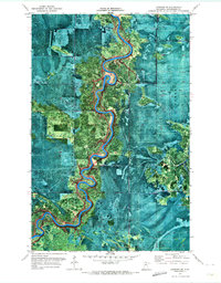 1970 Lindford SE1973 Print · USGSThe northern wilderness of Koochiching Co comes into focus in the early seventies, centered on the winding Littlefork River. Trace the river to Hendrickson Landing or follow the network of Winter Trails through the Pine Island State Forest.
 - 1978 Map of Littlefork, 1994 Print
 1978 Littlefork1994 Print · USGSNorthern Minnesota’s timber and river country is captured here in the late seventies, showing the vast forest lands before modern development. Genealogists and historians can trace the Minnesota Dakota and Western RR through Littlefork and locate remote lookouts like Fort Lookout Tower.
 - 2010 Map of Lindford SE, 2010 Print
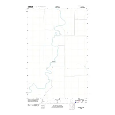 2010 Lindford SE2010 Print · USGSNorthern Minnesota's river country is captured here in the early twenty-first century, showing a remote landscape shaped by the Big-Fork-River. Researchers can locate Hendrickson Landing and trace rural routes like Radar Rd and County Hwy-77.
 - 2013 Map of Lindford SE, 2013 Print
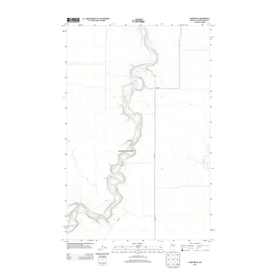 2013 Lindford SE2013 Print · USGSThe Northwoods river country of Koochiching County comes into focus in this early 21st-century survey of the Big Fork River basin. Trace the meandering riverbank to Hendrickson Landing or follow rural routes like Radar Rd and Co Hwy-13.
 - 2016 Map of Lindford SE, 2016 Print
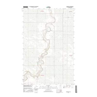 2016 Lindford SE2016 Print · USGSThe wetlands and forests of northern Minnesota are defined by the winding Big Fork River in this modern survey. Researchers can trace rural routes such as Co Rd 13, Radar Rd, and Ben Lynn Rd 17 through the remote backcountry.
 - 2019 Map of Lindford SE, 2019 Print
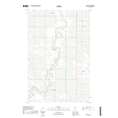 2019 Lindford SE2019 Print · USGSKoochiching County remains a wild landscape of winding waterways and deep wetlands in the late 2010s. Researchers can trace the meandering path of the Big Fork River and find isolated woodland access via Radar Rd and Co Hwy 13.
 - 2022 Map of Lindford SE, 2022 Print
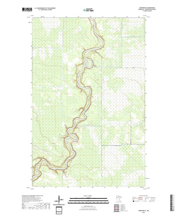 2022 Lindford SE2022 Print · USGSThe Northwoods of northern Minnesota come alive in this recent survey, centered on the winding waters of the Big Fork River. Researchers can trace the modern road network and river meanders, following routes like Co Hwy 13 and the curiously named Radar Rd.
End of results
Showing maps 1-11 of 11
Top cities near Hendrickson Landing
Frequently asked questions
- What are the different types of historical maps available for Hendrickson Landing?
- What is the oldest map of Hendrickson Landing?
- Where can I purchase historical maps of Hendrickson Landing for my home or office?
- Where can I download high-res historical maps of Hendrickson Landing?
- Are there historical topographic maps available for Hendrickson Landing?
- Is there historical aerial imagery available for Hendrickson Landing?
- Where are historical maps of Hendrickson Landing sourced from?