Old Maps of Wheelers Point, Minnesota for Metal Detecting
Plan your next treasure hunt with 11 historic maps of Wheelers Point. Find old homesites, ghost towns, trails, and gathering spots that may be lost to time — perfect for identifying promising metal detecting locations.
- Locate forgotten sites: Uncover places like long-lost settlements, abandoned rail lines, or gathering spots.
- Plan better hunts: Use map overlays combined with LiDAR or satellite views to narrow in on historically rich areas.
- Made for detectorists: Thousands of hobbyists use these maps to discover relics, coins, and hidden history.
Use these historic maps to boost your research and find new opportunities beneath the surface of Wheelers Point.
Wheelers Point, MN maps
(11)- 1919 Map of Canada
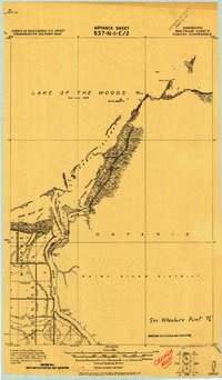 1919 Canada1919 Print · USGSThe international border at the mouth of the Rainy River is meticulously detailed in this post-World War I military survey. Historians can trace early northern Minnesota land reclamation through labels like Jud. Ditch 28 and find navigational landmarks such as Oak Point and Windy Point.
 - 1954 Map of Roseau, 1969 Print
 1954 Roseau1969 Print · USGSNorthern Minnesota's borderlands come alive in the 1950s, showing a landscape defined by timber, water, and rail. Trace family roots through old schools and cemeteries near Roseau, Warroad, and the expansive Red Lake Indian Reservation.2 unique versions available
 - 1957 Map of Roseau
 1957 Roseau1957 Print · USGSThe international border and tribal lands define Northern Minnesota in the mid-fifties, from the shores of Lake of the Woods to the Red Lake Indian Reservation. Researchers can trace the path of the Great Northern railroad and locate isolated outposts like the U S Custom House and Ponemah.
 - 1958 Map of Roseau
 1958 Roseau1958 Print · USGSNorthern Minnesota's borderlands and vast lake country are captured here in the late fifties. Researchers can trace the Canadian National rail line through Warroad or find family history in frontier settlements like Baudette, Waskish, and Shotley.
 - 1967 Map of Wheelers Point, 1969 Print
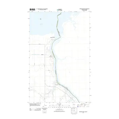
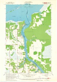 1967 Wheelers Point1969 Print · USGSThe international boundary at the edge of Lake of the Woods is captured here in the late sixties as the Rainy River reaches the border. Researchers can trace the layout of Wheelers Point, identify the Wheeler Sch, and locate the Wabanica Tale Ch near the riverbank.
 - 1976 Map of Baudette, 1993 Print
 1976 Baudette1993 Print · USGSNorthern Minnesota’s borderlands are shown here in the mid-1970s, as the Rainy River winds toward the vast Lake of the Woods. Genealogists and local historians can trace the foundations of Baudette and Williams, or locate rural landmarks within the Pine Island State Forest.
 - 2011 Map of Wheelers Point, 2011 Print
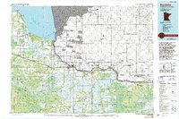
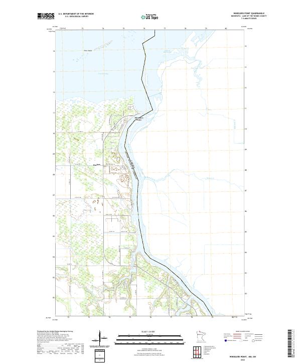
 2011 Wheelers Point2011 Print · USGSCovers Wheelers Point, including Dawson Township, Hackett, and other nearby areas
 - 2013 Map of Wheelers Point, 2013 Print
 2013 Wheelers Point2013 Print · USGSCovers Wheelers Point, including Dawson Township, Hackett, and other nearby areas
 - 2016 Map of Wheelers Point, 2016 Print
 2016 Wheelers Point2016 Print · USGSCovers Wheelers Point, including Dawson Township, Hackett, and other nearby areas
 - 2019 Map of Wheelers Point, 2019 Print
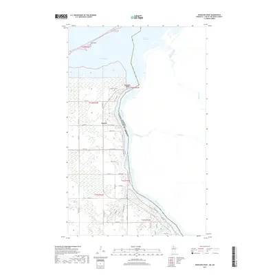 2019 Wheelers Point2019 Print · USGSCovers Wheelers Point, including Dawson Township, Hackett, and other nearby areas
 - 2022 Map of Wheelers Point, 2022 Print
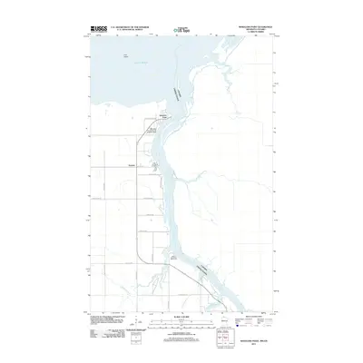
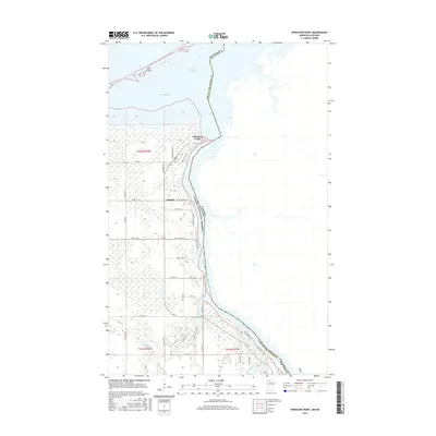
 2022 Wheelers Point2022 Print · USGSThe international border at Wheelers Point comes alive in this contemporary survey where the Rainy River flows into Lake of the Woods. Researchers can trace the waterfront settlement of Hackett and follow local routes like Co Rd 70 through this northern landscape.
End of results
Showing maps 1-11 of 11
Top cities near Wheelers Point
Frequently asked questions
- What are the different types of historical maps available for Wheelers Point?
- What is the oldest map of Wheelers Point?
- Where can I purchase historical maps of Wheelers Point for my home or office?
- Where can I download high-res historical maps of Wheelers Point?
- Are there historical topographic maps available for Wheelers Point?
- Is there historical aerial imagery available for Wheelers Point?
- Where are historical maps of Wheelers Point sourced from?